Download
1 / 17
170 likes | 270 Views
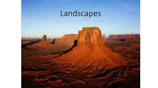
Suburbanization, Farming, and Open Space. Changing Geographic Landscapes in Delaware:. Middletown 1937 1954 2002. What are we talking about?. Newark 1954 2002. E conomic Shift in economic sectors (agrarian to service) Home Loans – Impacts of today S ocial Changing community dynamics

E N D
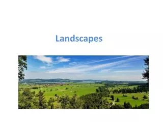
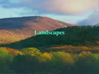
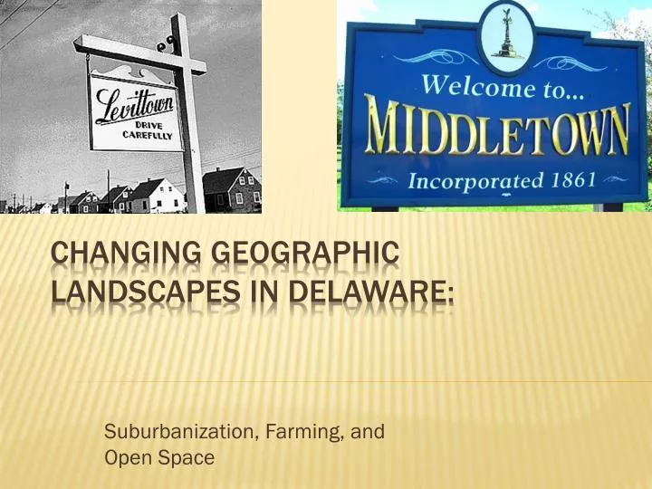
Suburbanization, Farming, and Open Space Changing Geographic Landscapes in Delaware:
Middletown 1937 1954 2002 What are we talking about? • Newark • 1954 • 2002
Economic • Shift in economic sectors (agrarian to service) • Home Loans – Impacts of today • Social • Changing community dynamics • Political • Different needs for the constituents • eNvironmental • Changes to the natural landscape Why this is Important?
Students will: • Witness the change in land use from rural to suburban in Delaware • Understand the changes throughout Delawarian culture (ESPeN) • Utilize demographic data to track changes Learning Objectives
Increased access to funds increases people’s ability to buy homes Mass production permeates the industrial atmosphere, includes homes Land is more valuable when it’s parceled Key Economic Concepts
WWII shrank the demand for new home construction (almost to zero) Returning GI’s with money (GI Bills, FHA loans, savings from wartime pay) were able to finance homes Welcome Home!
Mass Produced homes were introduced in the 1920’s Levitt brothers applied it to a mass-scale in the post-WWII era Levittown, USA
Farm land can be subdivided into many residential plots. Delaware “family” farms are pressured by finances to sell their farms to developers. The Value of Delaware’s Rural Lands Dividing the land
Changing Social Dynamics of Society • DE Population Data • 1990 – 666,168 • 2000 – 783,600 (increase by 17.6%) • 2007 (estim.) – 864,764 • Owner Occupied (non-renter) Units • 1990 – 173,813 • 2000 – 216,038 (increase 24.3%) • 2006 (estim.) – 238,194 Key social concepts
Needs of Agrarian Societies • Identify with political parties more on where they are, not what they do • Subsidies • Relief from natural disasters (floods, drought, storms, insects) • Migratory labor force (Bracero Program) Key political concepts
Needs of Service Driven Societies • Tax-friendly state • Large labor force • Buildings to hold large CSR departments and call centers • Transportation routes • I-95 (only 11 miles) • Astra Zeneca Key Political concepts
Miner’s Livable Delaware • 11 Principles • Not passed, largely ignored • Is trying to get HB280 passed to limit sprawl and preserve land • April 6, 2008 – News Journal • Livable Delaware or Miserable Delaware? Key environmental concepts
Agricultural zoning, easements, lower tax rates, and trusts of various kinds Promotion of smaller-scale, entrepreneurial farming in and near cities Adoption of planning strategies that allow for more efficient sharing between agricultural and residential uses Source: Silos v. Subdivisions Preservation movements
Burgess Concentric zone model 1 – Rodney Square 2 – Rt. 13 (near Train station) 3 – Elsmere 4 – Bear 5 – Middletown
Suburbanization in the US – How the 1950’s created our Modern Landscape 3 Land Use Models How 95 “Built” Delaware – Highways and Homes Delaware – The First State Becomes One of the Last States to “Develop” Unit Lessons
DGA Aerial Photos • Better Models for Development in DE • 3 Models of Land Use • DE Census Data • Levittown Song & Video (Bob Koenig) • Annenburg Power of Place VoD (#24) • Bracero Program Unit resources