Download
1 / 31
310 likes | 468 Views
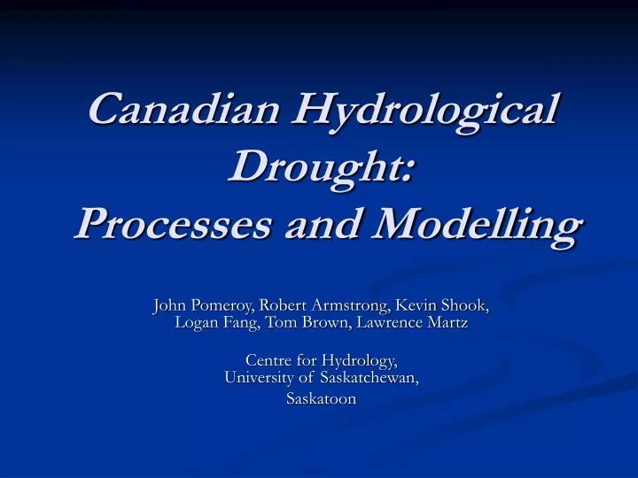
Canadian Hydrological Drought: Processes and Modelling. John Pomeroy, Robert Armstrong, Kevin Shook, Logan Fang, Tom Brown, Lawrence Martz Centre for Hydrology, University of Saskatchewan, Saskatoon. Prairie Hydrology - Reality. Smith Creek, Saskatchewan. Overview. OBJECTIVE

E N D
Canadian Hydrological Drought: Processes and Modelling John Pomeroy, Robert Armstrong, Kevin Shook, Logan Fang, Tom Brown, Lawrence Martz Centre for Hydrology, University of Saskatchewan, Saskatoon
Prairie Hydrology - Reality Smith Creek, Saskatchewan
Overview • OBJECTIVE To better understand, describe and model the development of hydrological drought on the Prairies • FOCUS – evaluation and drought sensitivity of • Processes • Snow Redistribution, Accumulation and Melt • Runoff Generation/Wetland Recharge • Areal Evaporation • Modelling • Prairie Hydrological Modelling – CRHM platform to create physically based hydrological models of soil moisture, evaporation, snow accumulation, small prairie stream runoff and wetland recharge
Spatially distributed blowing snow model • 262,144 grids • On each grid calculation of fluxes based on St Denis, Saskatchewan
Spatially Distributed Blowing Snow Accumulation – End of March
Stubble Field Grassland Brush Trees Blowing Snow in Operational Drought Modelling • For hydrological and agricultural water balance applications, need landscape type specific calculations, aggregated approach • To calculate mass balance for landscape unit (TILE), need inputs from upwind tiles (source to sink) • Possible to calculate transport from one tile to another • Calculation order based on tile aerodynamic sequence (smooth to rough; high elevation to low elevation). Transport out from one tile is transport in to next tile. • Important to preserve continuity at multiple scales Fallow Field
Distributed vs Aggregated Blowing Snow Modelling Areal average SWE from two resolutions of blowing snow model and snow surveys distributed = 111 mm, aggregated = 90 mm, and observed = 97 mm.
Prairie Evaporation • Actual Evaporation critical component of drought • Uncertainty in estimating Evaporation • Various theoretical relationships with differing sets of parameters (α, zo, d, vegetation, water), variables (K↓, L↓, u, T, q) and state variables (θ, Ts) • Highly spatial variability) – • subgrid variability • Advection to ponds • Aggregation in LSS. • Tiles • Problem of changing tile area during drought • Continuity • All models limit water for evaporation by tracking supply • Prairie plants don’t care and send roots to available water (+3 m)
Field Observation NECESSARY St Denis National Wildlife Area, Saskatchewan
St Denis, SK, summer 2006, dry but no drought • 3 physically based methods (Granger GD, Penman-Monteith, Dalton Bulktransfer {LSS-like} compared to best observation sets from eddy correlation. • Possible to set soil moisture for resistance and continuity aspects of CRHMfrom field measurements of soil water (no model calibration).
Lethbridge Ameriflux Site (2001) EnteredDrought as summer 2001 Progressed Severe Decline in Soil water content anddaily actual evaporation
Modeling evaporation under drought conditions requires soil moisture accounting • Influence of canopy resistance term increases as season progresses • Uncertainty in reference minimum for resistance – PM, BT • Not possible to set physically realistic parameters for Penman-Monteith and Dalton Bulk Transfer resistance schemes, • Granger GD method in CRHM performed well in severe drought
Spatial Variability of Prairie Evaporation • Important for hydrology • Wetland recharge and dessication • Streamflow generation, contributing area for runoff • Two eddy correlation systems, 2007, pond and dryland
Island wetlands Mixed Grasses Cultivated road Pond 90 Trees Aug 5, 2007;12:12 pm Thermal Image of St. Denis NWA (2007)Taken from an infrared imager from an airplane Provides basis for spatial distribution of net radiation in Granger GD evaporation method
Distributed Daily Evaporation St Denis Distributed: -Outgoing longwave -Outgoing shortwave -Aerodynamic roughness Granger GD Modelwith “common”atmospheric feedback, T, RH,
Spatial Frequency Distribution of Actual Evaporation (one day) wetland dryland mm daily actual evaporation
Cold Regions Hydrological Model Process Modules • Developed from research at University of Saskatchewan and EC over several decades • Radiation (slopes, estimation procedures) • Blowing snow (snow transport & sublimation) • Interception (rain and snow) • Snowmelt (open & forest, advection, energy balance) • Infiltration (frozen and unfrozen soils) • Evaporation (Granger or Penman-Monteith) • Soil moisture balance (with groundwater interaction) • Routing (hillslopes, sub-surface and streamflow)
CRHM Use for DRI • Hydrological evolution and feedbacks in drought • Hydrological Drought Indices based on small basin soil moisture, streamflow and wetland levels • Scaling methodology and process test bed • Evaluate prairie land surface parameterisations and aggregation for MESH • Develop prairie hydrology routing for MESH • Provide drought hydrology tool for users
1999-2004/05 Drought Impact at St. Denis, cumulative effect on the hydrological processesand wetland water levelmodelled with CRHM
CRHM Application to Prairies • Apply to two representative types of basins (RB) • Well drained small prairie stream • Wetland basin with much surface storage • Create prairie drought surface of basin state variables • Need standard atmospheric observations or reanalysis data (U,T, RH, Precip) • Needs radiation (sparse observations!!!) • Calculates soil moisture, streamflow, water storage, snowpack as state variables
Creating Frequency Distributions of Wetlands for Hydrological Modelling of Prairie Wetland Representative Basin • Need to have characteristic frequency distribution of wetlands – this changes during drought. • Test at St Denis where excellent data exists…… • Simply route water excess along surface topography from one storage area to the next
St. Denis Slough Simulation Runoff from spatially-constant precip - spatially-constant Evap. Need spatially variableevaporation
Conclusions • Successful physically-based prairie hydrological modelling for small basins using CRHM – no calibration • Spatial scale for blowing snow accumulation and spring runoff calculation determined – tiled approach adequate • Suppression of blowing snow transport and enhancement of frozen soil infiltration responsible for much of wetland desiccation in drought • Evaluation of evaporation models and observations suggests that soil moisture should be a product rather than a driver of evaporation calculations. Possible to distribute Granger method. • Spatial distribution of evaporation, pond storage and runoff provides basis for upscaling atmospheric feedbacks and calculating hydrology in drought. • CRHM ready for application to develop Prairie-wide hydrological drought products, Representative Basin soil water, runoff, water storage