Download
1 / 17
170 likes | 173 Views
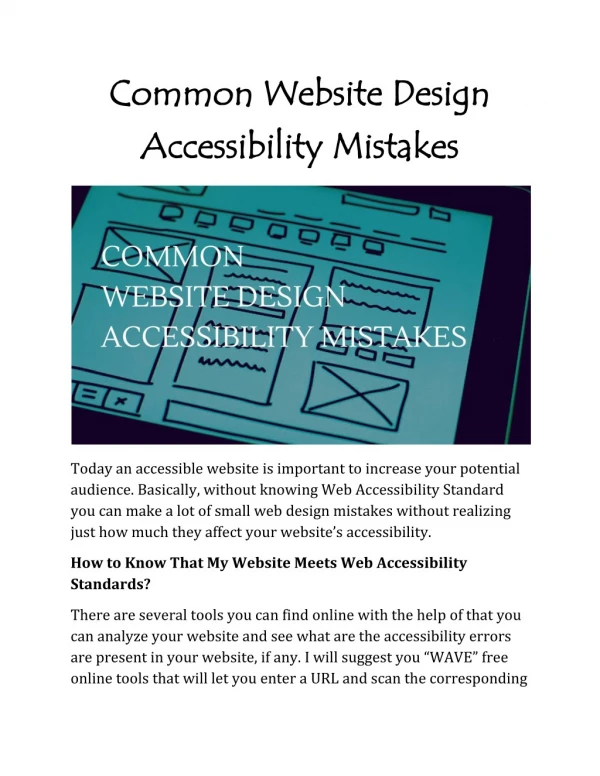
This article discusses the concept of planning for accessibility, its importance in achieving economic, social, and environmental goals, and the need to develop effective indicators and strategies. It highlights the Joint Accessibility Design approach, a collaborative process involving researchers and practitioners.

E N D
Joint Accessibility Design Luca Bertolini (on behalf of : Thomas Straatemeier, Luca Bertolini, Marco te Brömmelstroet, Karst Geurs) Universiteit van Amsterdam
Contents • Concept • Indicators used, input and output • Usefulness in practice Universiteit van Amsterdam
Concept Universiteit van Amsterdam
Why from planning for mobility to planning for accessibility? • Can be more directly related to different economic, social, and environmental goals • Gives better insight in people and place development opportunities and threats • More clearly refers to qualities of both the transport system and the land-use system Universiteit van Amsterdam
Why has planning for accessibility not taken off yet? • Accessibility research focuses on developing ever more complex and disaggregate measures and pays little attention to implementation • Mobility indicators and instruments are better institutionalized (e.g. level-of-service indicators and four-step transport model) • Accessibility is not a very politicized issue yet, focus is on congestion relief, or on environmental impacts • Need to link the development of accessibility instruments to the planning process Universiteit van Amsterdam
Joint Accessibility Design:an interactive process involving researchers and practitioners Step 1. Conceptualizing accessibility in the light of wider economic, social and spatial goals Step 2. Collectively mapping, interpreting and analyzing the conception of accessibility Step 3. Understanding changes in accessibility as a result of interventions Step 4. Designing integrated solutions/strategies Universiteit van Amsterdam
Indicators used, input and output(as developed in steps 1 to 4) Universiteit van Amsterdam
Step 1. Relating planning goals to accessibility Planning goal … • Opportunities … • Modes of transport … • Spatial scale … • Time of day/week … Universiteit van Amsterdam
Step 1. Relating planning goals to accessibility Integration of immigrants • Opportunities: • Jobs, social services, recreation, other people • Modes of transport: • Public Transport and slow modes • Spatial scale: • Neighborhood and City • Time of day/week: • ??? Universiteit van Amsterdam
Step 2. Measuring an interpreting accessibility Which accessibility measure is best to use? Does every participant understand the measure? Do we have the data and model to calculate the measure? Universiteit van Amsterdam
Mostly composite contour measures, sometimes with a distance decay factor • For example, goal “Strengthening the knowledge cluster in the Rotterdam The Hague area” • Accessibility measured by combining: • Firms in the field of creative industries within 15 min by bicycle • Cultural and catering services within 15 min by bicycle • Higher education and knowledge institutions within 30 min by car and 45 min by public transport • Labor with high education within 45 min by car and 60 min by public transport • Rotterdam Harbor and Schiphol Airport within 45 min by car and 60 min by public transport Universiteit van Amsterdam
Step 3. Understanding changes in accessibility Accessibility to residents by public transport, before and after improvements Good Fair Bad
Step 4. Designing integrated strategies Access to workforce with low education versus spatial pattern of the harbor complex and greenhouse farming Facilitate current spatial dynamics? (ladder) Enhance economic position in the urban network? (hub and spoke)
Usefulness in practice Universiteit van Amsterdam
The production and use of accessibility indicators must be seen as a collective learning process, in which all participants should be involved • Accessibility measures should directly relate to both policy issues or goals and to actual travel and location behaviour • Insight in changes in accessibility as a result of changes in the transport and land-use system, ideally in real-time, is crucial to stimulate the policy design process Universiteit van Amsterdam
Thanks! Universiteit van Amsterdam