Download
1 / 27
270 likes | 284 Views
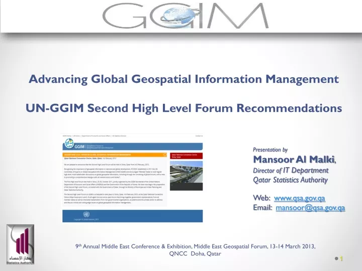
Advancing Global Geospatial Information Management UN-GGIM Second High Level Forum Recommendations. Presentation by Mansoor Al Malki , Director of IT Department Qatar Statistics Authority Web: www.qsa.gov.qa Email: mansoor@qsa.gov.qa.

E N D
Advancing Global Geospatial Information ManagementUN-GGIM Second High Level Forum Recommendations Presentation by Mansoor Al Malki, Director of IT Department Qatar Statistics Authority Web: www.qsa.gov.qa Email: mansoor@qsa.gov.qa 9th Annual Middle East Conference & Exhibition, Middle East Geospatial Forum, 13-14 March 2013, QNCC Doha, Qatar
Overview • The UN Initiatives on GGIM • The Second High Level Forum on GGIM, Doha Qatar– Summary Findings • The Doha Declaration on UNGGIM & • Qatar in Regional & Global Context of GGIM 9th Annual Middle East Conference & Exhibition, Middle East Geospatial Forum, 13-14 March 2013, QNCC Doha, Qatar
The UN Initiative on Global Geospatial Information Management (GGIM)
The UN Initiative on GGIM What? - To enhance and coordinate Global Geospatial Information Management (GGIM). How? - By setting up a formal mechanism under the UN auspices to discuss and coordinate GGIM activities and by involving Member States as the key players.
The UN Initiative on (GGIM) Why? - Almost all social and economic human activity depends on location - Geospatial Information with its rapid development and easy access has become invaluable tool in researches, policy making, planning and implementation. contd….
The UN Initiative on GGIM • Why? • Some international organizations working on outstanding issues on geospatial information • - UN to links the outcomes of these organizations to specific policy decisions and actions of the Member States.
The UN Initiative on GGIM • The First High Level Forum on Global Geospatial Information Management held in Seoul, Korea in October 2011
The Second High Level Forum on GGIM, Doha Qatar– Summary Findings
Second High Level Forum on UN-GGIM held in Doha Qatar, 4-6, February, 2013
Second High Level Forum on UN-GGIM, Doha Qatar, 4-6, February, 2013 • Attended by • 300 Participants from 60 countries, • 10 United Nations’ Representatives, and • 50 representatives from International Organizations and the Private Sector.
The Forum began with the Ministerial Segment sharing views on- “The Role of Geospatial Information in National Development”
Five Thematic Sessions held Focusing on- Building a National Geospatial Information System; Driving Forces, Success Stories Future Trends in Geospatial Information Developing an effective Global Geodetic Reference Framework and supporting Location –Based Services Geospatial Information & Sustainable Development (Rio 20+) Challenges in Developing Core Global Reference Datasets
The Main Issues Discussed & the Actions Proposed • United Nations Promote a Global understanding on Geospatial Information and the Importance of UN-GGIM in National Development • Coordination across Ministries and Agencies considered Important in guiding Governments Actions in Meeting the Expectations of their People
The Main Issues Discussed & the Actions Proposed contd…. • Common Challenges Referenced in the Discussions included the following- • A sustainable Geodetic Network • Mitigating and Managing Disasters • Population Growth & Food Security • Urban Planning & Sustainable Development • Privacy & Confidentiality of Data accessibility • (Need working together Across Borders and Sharing Experiences and Advancement in Geospatial Information Management)
The Main Issues Discussed & the Actions Proposed contd…. • UN-GGIM is a Platform to advocate Long term Vision and Investment in National Geospatial Information System. • Establish a Coherent National Geospatial Information System for Timely and Authoritative Decision making and Policy Development
The Main Issues Discussed & the Actions Proposed contd…. • Importance of having a Steady Supply of Trained Technical Experts in Managing Geospatial Information • The role of Private sector in Strengthening National Geospatial Management • Future Trends in Geospatial Management • The role of National Geospatial Management Authorities as the Originator and Custodian of Trusted and Authoritative Data
The Main Issues Discussed & the Actions Proposed contd…. • The importance of Regional Cooperation and the Successful Program Implementation in some Regions • (welcomed first meeting of Geospatial Information Authorities of the UNESCWA Region) • Need for a Global Geodetic Reference Frame and System to Track Changes, such as: • (terrestrial and sea level changes- International Association of Geodesy(IAG) contribution highlighted) • Important that Government accepts the Responsibility of Sound National Geodetic Reference Frame
The Main Issues Discussed & the Actions Proposed contd…. • Reio+20 recognized the Role of Geospatial Information in Sustainable Development- • (recommendations for Global Map for Sustainable Development initiatives and need for Urban Hazard Mapping) • Establishing Standards for the Entire Production and Dissemination Process of Geospatial Information- • (ISO and OGC taking the lead) • Data Quality Assurance Considered Critical and therefore need for proper Protocol to be Established to meet the International Standards.
The Main Issues Discussed & the Actions Proposed contd…. • The role of Geospatial Authority need to be Identified within a Network of Data Producers and Users • Common Data themes that have been included are- • Geo-coded Addressing • Boundaries • Positioning • Place Names • Elevation • Land cover • Transport • Water • Land Parcel
Doha Declaration- The Second UN-GGIM Forum • Commit to work together under the coordination of UN • Affirm the importance of having stable, credible and reliable national geospatial infrastructure in each country. • Affirm the importance of a core global reference dataset.
Doha Declaration- The Second UN-GGIM Forum • Affirm the importance of authoritative core global reference dataset • Enhance the ability of training programmes at all levels, and to contribute to a global knowledge base • To encourage regional collaboration in the promotion and development of geospatial information management
Qatar in Regional & Global context of UN-GGIM • Qatar Nationwide GIS set up two decades ago can serve as a model in guiding the set up of National in the countries of the Region. • The Geospatial Standards and Specification set for Qatar GIS can serve as a base for Geospatial Information development in the region and a guiding Principles
Qatar in Regional & Global context of UN-GGIM contd…… • Qatar would raise to GCC level discussions through upcoming Undersecretary level meetings of GCC Countries • Qatar further working in the guidelines of GGIM to support establishing a UN-ESCWA Regional Centre for UN-GGIM
تم بحمد الله www.qsa.gov.qa http://ggim.un.org/