Download
1 / 9
90 likes | 218 Views
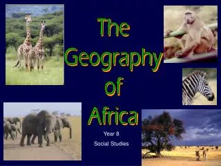
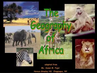
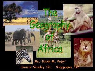
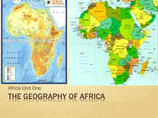
The Geography of Africa. A Satellite View. Africa’s Size. 4 6 0 0 M I L E S. 5 0 0 0 M I L E S. Second largest continent 11,700,000 sq. mi. 10% of the world’s population. 2 ½ times the size of the U. S. Africa. There are 53 independent countries in Africa. Africa.

E N D
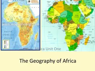
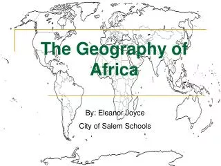
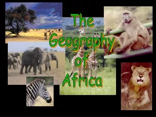
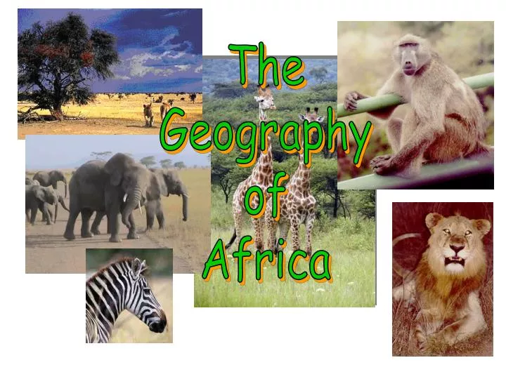
The Geography of Africa
Africa’s Size 4 6 0 0 M I L E S 5000 MILES • Second largest continent 11,700,000 sq. mi. • 10% of the world’s population. • 2 ½ times the size of the U. S.
Africa • There are 53 independent countries in Africa
Africa • Africa is the 2nd largest continent(Asia largest) • Famine—Extreme shortage of food—MAJOR problem in Africa. • Sudan is Africa’s largest Country • Deforestation: Cutting down forests for buildings and houses is a HUGE problem in Africa. ADD these 4 to the TOP of the backside of your paper… • Africa is divided into FIVE geographical regions: • North Africa (desert) • South Africa (some desert) • East Africa (lakes) • West Africa (rich in resources and mountains) • Central Africa (rainforest) • The Sahara desert divides Africa into two parts: 1. North Africa 2. Sub-Sahara-all countries south of the desert
Climate • The equator cuts across Africa resulting in hot and tropical regions. • The major climatic regions of Africa, south of the Sahara are: • desert-extremely dry, gets less than 10 inches of rain a year • semiarid-gets more rainfall than the desert but still receives very little • tropical-gets 70 inches of rain per year and temperatures average 80 degrees • Temperatures along the coast and in the mountains are more moderate: • Highlands-cool climate and rich soil because of ample rainfall • South Africa –temperatures can be cold during the winter
Important Waterways for Trade & Survival Africa’s Rivers Africa’s Lakes & Canal COPY ALL Lake Victoria is Africa’s largest fresh water lake. VERY IMPORTANT LAKE to Eastern Africans Lake Tanganyika-isthe second largest lake in Africa, located below Lake Victoria Suez Canal -connects the Mediterranean Sea to the Red Sea. Important to trade!!! Located between Egypt & Israel COPY ALL • Nile River-starts in E. Burundi and flows north emptying into the Mediterranean Sea. World’s longest river. Stretches from Egypt to Eastern Africa. • Nile flows over six cataracts on its way to sea • Other important rivers: • Niger River –Western Africa • Congo River-Central Africa
How physical features affect where people live, the work they do, and how they travel. Sahel- a strip of land that divides the Sahara from wetter areas (Mauritania, Chad, Sudan, and Mali) Sahara-Sahara desert is the world’s largest desert (Egypt Libya,) Rainforest-area near the equator that gets high amounts of rain year round (Ghana, Democratic Republic of Congo, Rwanda) Savanna- subtropical grassland with scattering of trees and shrubs(Kenya) Oasis-is a wet, fertile area in a desert where a natural spring or well provides water
Physical Features • Sahara desert-world’s largest desert; covers almost 1/3 of the continent • Atlas Mountains-mountain range stretches along the Northwestern part of Africa • Kalahari Desert-found in Southwestern Africa and covers 360,000 square miles; plants and animals are able to live in this desert due to an underground water supply • Nile River- located in Egypt and runs through several African countries; world’s longest river • Rainforest- found in Central Africa and provides a lot of rain for the area • Lake Tanganyika –large lake in Central Africa. Second deepest freshwater lake in the world. • Lake Victoria- Africa’s largest fresh water lake, which is located in East Africa. Second largest freshwater lake in the world.