Download
1 / 9
100 likes | 264 Views
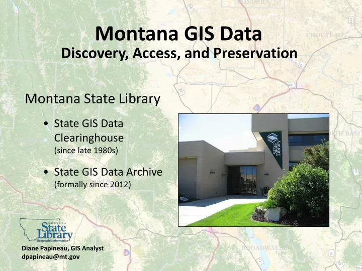
Montana GIS Data. Discovery, Access, and Preservation. Montana State Library State GIS Data Clearinghouse (since late 1980s) State GIS Data Archive (formally since 2012). Diane Papineau, GIS Analyst dpapineau@mt.gov. Montana’s GIS Data List. Data Browsing Data Searching By keyword

E N D
Montana GIS Data Discovery, Access, and Preservation Montana State Library • State GIS Data Clearinghouse (since late 1980s) • State GIS Data Archive (formally since 2012) Diane Papineau, GIS Analyst dpapineau@mt.gov
Montana’s GIS Data List Data Browsing Data Searching By keyword Customize how it searches Search limiters Current or Historic Data (or both) Just Framework or certain Category By a time period By type of content Publishers
Data List: Search Results Federal Metadata Standard
Montana’s GIS Data Bundler Geographies • User Drawn Shape • County • Census Designated Place • Incorporated Cities and Towns • PLSS – Township, Range, Section • Reservation • Watershed Sub-basin
Data Archiving Challenge Why Archive? So what if: National Digital Stewardship Alliancehttp://www.digitalpreservation.gov/ndsa/ Missed opportunities: • Land use change analysis • Disaster response effectiveness • Disaster planning • Studying/illustrating climate change • Impervious surface change maps • Environmental impact analysis • Site location analysis • Real estate trend analysis • Resolution of legal challenges • More? Not known yet… • Data is not saved • Files can’t be found • Media is obsolete • Media is corrupt • Format is obsolete • File is corrupt • Data meaning is lost (i.e. no/incomplete metadata)
Data Preservation = Data Re-use Keep data alive Keep data in motion More use, more demand, more value, more funding, more preservation, more access, more use, more demand, more value, more funding, more preservation, and so on.
Montana’s GIS Data Archive • Appraise and select data • Archive data using best practices • Prepare metadata • Package data using “Bagger” (L. O. C. freeware) • Transfer to archive storage and verify integrity • Provide user discovery and access • Monitor data integrity through time
Data Archive Documentation “The single most important thing that GIS data producers should do to assist in the archival process is to organize and document their data holdings and databases.”