Download
1 / 15
150 likes | 336 Views
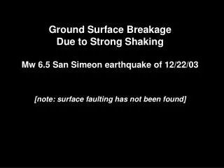
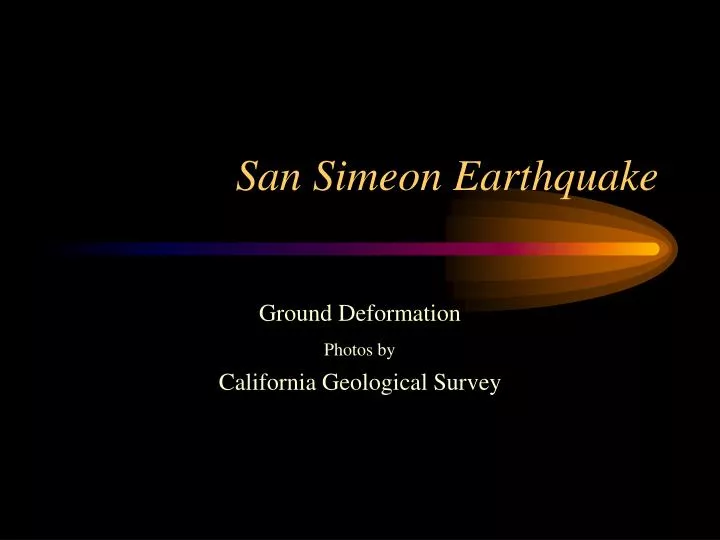
San Simeon Earthquake. Ground Deformation Photos by California Geological Survey.

E N D
San Simeon Earthquake Ground Deformation Photos by California Geological Survey
Hot spring east of Highway 101 (in background) at Paso Robles Road off-ramp, initiated by the earthquake. According to City Engineer, records indicate that a capped well underlies Highway in this area. Photo taken 12/27/03 by R. Wilson.
Hot spring in the Paso Robles City Hall Parking lot. Excavation was undertaken in an effort to find reported capped well. No well was found and instead a fissure was found and assistance was being sought from geotechnical consultants on how to stem the flow. Photo taken 12/27/03 by R. Wilson.
Small rockfall south of Lakeview Drive viewed from bridge crossing Las Tablas Creek. Photo taken 12/26/03 by T. McCrink.
Possibly re-activated portion of an intermittently active earth flow on a mature landslide complex. View to the west from above Lakeview Drive west of Franklin Creek. Photo taken 12/26/03 by T. McCrink.
Pair of lateral spread fissures, forming a small graben, pass beneath and severely damaged house in distance. View looking to southwest from alley between Pacific Blvd. And Norswing Dr., south of Coolidge in Oceano. Movement is to the right. Photo taken 12/27/03 by R. Wilson.
Same pair of lateral spread fissures through an apartment building, which was red tagged. View looking northeast from alley between Pacific Blvd. and Norswing Dr., Coolidge Dr. at the end of the Alley. Movement is to the left. Photo taken 12/27/03 by R. Wilson.
Lateral spreading along Norswing Dr. in Oceano, viewed to the north. Fissures in street, along curb, and in driveway have been patched. Fissures reported to have been 6 inches wide and as much as 18 inches deep. Movement is to the left toward a lagoon. Photo taken 12/27/03 by R. Wilson.
Sidewalk thrust over curb along Norswing Dr. in Oceano, view to the north. The houses on the right moved with the lateral spread block to the left toward the lagoon. Photo taken 12/27/03 by R. Wilson.
Sand boils along fissures in pasture, near Arroyo Grande Creek south of Oceano. View is to the south. Fissures here roughly perpendicular to creek and levee. Photo taken 12/27/03 by R. Wilson.
Possible lateral spreading fissures in areana, near Arroyo Grande Creek south of Oceano. View to the west. Fissures had bo reported sand boils and is parallel to levee and creek. Phototaken 12/27/03 by R. Wilson.
Repaired levee along Arroyo Grande Creek south of Oceano. View to the west. Creek to the right, arena to the left has possible lateral spread fissures and pasture further to the left had numerous fissures and sand boils. Levee at this location was reported to have settled as much as 18 inches and had 12 inch wide cracks that were 8 to 10 feet deep.
S-shaped crack in asphalt on Old Creek Road near Santa Rita Ranch. Located about 100 yards east of a mapped trace of the Oceanic fault. Crack could not be traced into soil in road bed. Photo taken 12/27/03 by R. Wilson.
S-shaped crack in asphalt on Old Creek Road near Santa Rita Ranch. Offset shown by paint stripes is right lateral of about 1 inch. Mapped trace of the Oceanic Fault lies in the distance on the hillside beyond the turn in the road. Photo taken 12/27/03 by T. McCrink.
Crack in asphalt along Sata Rosa Creek Road about a half mile north of Highway 46. View is to the north. Crack shows right lateral offset of about 1/2 to 1 inch and can be traced into the rock outcrop for about 20 feet along the road. Photo taken 12/27/03 by T. McCrink. Crack in asphalt along Sata Rosa Creek Road about a half mile north of Highway 46. View is to the north. Crack shows right lateral offset of about 1/2 to 1 inch and can be traced into the rock outcrop for about 20 feet along the road. Photo taken 12/27/03 by T. McCrink.