Download
1 / 65
650 likes | 1.2k Views
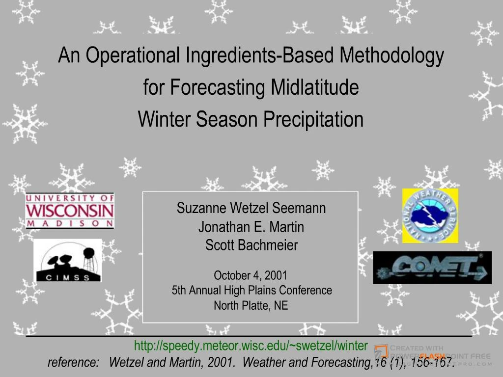
Midwestern Winter Storm: January 26-27, 1996. October 4, 2001 5th Annual High Plains ... forecasting midlatitude winter season precipitation

E N D
1. Suzanne Wetzel SeemannJonathan E. MartinScott Bachmeier
17. Since negative del-dot-Q is associated with upward vertical motion and negative PVes is associated with conditional instabilities, regions where both terms are negative may experience heavy precipitation, provided sufficient moisture is available.
Since negative del-dot-Q is associated with upward vertical motion and negative PVes is associated with conditional instabilities, regions where both terms are negative may experience heavy precipitation, provided sufficient moisture is available.
21. This analysis is best performed using satellite-derived cloud temperature data and inspection of soundings (show image of operational). When limited to numerical model-predicted forecasts, isobaric surfaces and cross-sections of temperature can provide a reasonable estimate of the likelihood that ice will be initiated in an event.
Heterogeneous nucleation temperature range depends on relative humidity and chemical composition of ice nuclei
(Accretion and aggregation occur only after the ice particle has grown large enough by deposition)
This analysis is best performed using satellite-derived cloud temperature data and inspection of soundings (show image of operational). When limited to numerical model-predicted forecasts, isobaric surfaces and cross-sections of temperature can provide a reasonable estimate of the likelihood that ice will be initiated in an event.
Heterogeneous nucleation temperature range depends on relative humidity and chemical composition of ice nuclei
(Accretion and aggregation occur only after the ice particle has grown large enough by deposition)
22. Define: (rain, snow, freezing rain, sleet/ice pellets)Define: (rain, snow, freezing rain, sleet/ice pellets)
25. This figure illustrates the complexity of the physical processes involved in determining precipitation type. Given forecasted and observed soundings, the ideas presented above will allow forecasters to perform a reasonable
assessment of the likelihood that precipitation will be snow, ice pellets, freezing rain, or rain. However, in order to include a determination of precipitation type on isobaric surfaces with the other ingredients, the analysis is limited to diagnostics that can be computed at one level or layer in the atmosphere. Thus, in the ingredients maps, the 850 hPa 0 C rain-snow line will be used as a rough guideline for a determining precipitation type.
This guideline is only reliable when the forecast region is more than a few hundred kilometers to either side of the 0 C isotherm and more than a few degrees cooler than 0 C, and will be used in conjunction with an analysis
of forecasted and observed soundings when the forecast area is any closer or any warmer.
If snow melts completely to a liquid, T must be cold enough for ice initiation unless ice is falling into the warm layer from above. If snow only partially melted, refreezes immediately due to presence of remaining ice nuclei and falls as sleet or snow.
Surface temperature determines whether completely melted precip with no ice nucleation will fall as rain or freezing rain.
Depth of cold layer will determine the degree of refreezing after partial melting or complete melting with re-nucleation to snow or ice pellets
Forecast soundings may soon be included in the ingredients mapsThis figure illustrates the complexity of the physical processes involved in determining precipitation type. Given forecasted and observed soundings, the ideas presented above will allow forecasters to perform a reasonable
assessment of the likelihood that precipitation will be snow, ice pellets, freezing rain, or rain. However, in order to include a determination of precipitation type on isobaric surfaces with the other ingredients, the analysis is limited to diagnostics that can be computed at one level or layer in the atmosphere. Thus, in the ingredients maps, the 850 hPa 0 C rain-snow line will be used as a rough guideline for a determining precipitation type.
This guideline is only reliable when the forecast region is more than a few hundred kilometers to either side of the 0 C isotherm and more than a few degrees cooler than 0 C, and will be used in conjunction with an analysis
of forecasted and observed soundings when the forecast area is any closer or any warmer.
If snow melts completely to a liquid, T must be cold enough for ice initiation unless ice is falling into the warm layer from above. If snow only partially melted, refreezes immediately due to presence of remaining ice nuclei and falls as sleet or snow.
Surface temperature determines whether completely melted precip with no ice nucleation will fall as rain or freezing rain.
Depth of cold layer will determine the degree of refreezing after partial melting or complete melting with re-nucleation to snow or ice pellets
Forecast soundings may soon be included in the ingredients maps
27. Note qpf is for preceeding 6 hours, the rest are instantaneous distributions. Note qpf is for preceeding 6 hours, the rest are instantaneous distributions.
33. On March 13, 1997, a late winter snowstorm surprised forecasters in Wisconsin by producing a narrow band (30 miles wide, from just south of LaCrosse to just south of Sheboygan) of up to 13 inches of snow between 4Z and 12Z, several hours before a more significant event was predicted to begin.
On March 13, 1997, a late winter snowstorm surprised forecasters in Wisconsin by producing a narrow band (30 miles wide, from just south of LaCrosse to just south of Sheboygan) of up to 13 inches of snow between 4Z and 12Z, several hours before a more significant event was predicted to begin.
52. Systematic approach
Flexible: Validity of the IM is not restricted to synoptic or thermodynamic conditions, provided the diagnostics are chosen carefully. New diagnostics can be used to tailor to specific conditions or to include additional theory.
Aids in the interpretation of QPF: instead of �black box� interpretation. diagnoses mechanisms responsible for the event. Helps to answer why believe the model? Esp important in situations modulated by instability.
Helps to identify the source of differences between model scenarios � if one shows more precip, is it due to more moisture, different moisture distribution, instability, stronger forcing, different location of forcing?
Depicts instantaneous precipitation and intensity distribution. Useful for comparisons with radar for assessing how well model forecast is verifying.
Helps to visualize distribution of precipitation processes, show boundaries of moisture, localized regions of stronger or weaker forcing. Many other techniques forecast for one location. This helps if the modeled features shift a bit (important to know, 2� with good chance of 6 if moisture shifts).
Systematic approach
Flexible: Validity of the IM is not restricted to synoptic or thermodynamic conditions, provided the diagnostics are chosen carefully. New diagnostics can be used to tailor to specific conditions or to include additional theory.
Aids in the interpretation of QPF: instead of �black box� interpretation. diagnoses mechanisms responsible for the event. Helps to answer why believe the model? Esp important in situations modulated by instability.
Helps to identify the source of differences between model scenarios � if one shows more precip, is it due to more moisture, different moisture distribution, instability, stronger forcing, different location of forcing?
Depicts instantaneous precipitation and intensity distribution. Useful for comparisons with radar for assessing how well model forecast is verifying.
Helps to visualize distribution of precipitation processes, show boundaries of moisture, localized regions of stronger or weaker forcing. Many other techniques forecast for one location. This helps if the modeled features shift a bit (important to know, 2� with good chance of 6 if moisture shifts).
53. To address limitation 1 (maps rely on accuracy of numerical forecast model):
Re-evaluate ingredient diagnostics as new model data becomes available.
Monitor conditions as the storm develops to decide how well the model-predicted ingredient diagnostics are verifying.
Limitation #2 (qpf)
Use of the IM in conjunction with traditional snowfall prediction techniques (i.e., Garcia Method) may reveal a set of guidelines for modifying the empirically derived snowfall accumulation estimates.
Limitation #3 (diagnostics)
Choose diagnostics wiselyTo address limitation 1 (maps rely on accuracy of numerical forecast model):
Re-evaluate ingredient diagnostics as new model data becomes available.
Monitor conditions as the storm develops to decide how well the model-predicted ingredient diagnostics are verifying.
Limitation #2 (qpf)
Use of the IM in conjunction with traditional snowfall prediction techniques (i.e., Garcia Method) may reveal a set of guidelines for modifying the empirically derived snowfall accumulation estimates.
Limitation #3 (diagnostics)
Choose diagnostics wisely
59. Because of the amount of information contained in the ingredients maps,It may be helpful to use a table to organize the ingredient parameters and to insure a systematic evaluation of each. Table 2 shows an example of such a chart which could be used for this purpose. Such a table is also useful as a means of documenting the storm for archival investigations of the ingredients-based approach.
Because of the amount of information contained in the ingredients maps,It may be helpful to use a table to organize the ingredient parameters and to insure a systematic evaluation of each. Table 2 shows an example of such a chart which could be used for this purpose. Such a table is also useful as a means of documenting the storm for archival investigations of the ingredients-based approach.