Download
1 / 26
270 likes | 871 Views
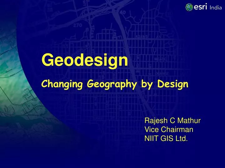
Geodesign Changing Geography by Design. Rajesh C Mathur Vice Chairman NIIT GIS Ltd. The Synapse. Geography. Design. Geodesign. Some Definitions of Design. Design is a plan for arranging elements in a such a way as to best accomplish a particular purpose. … Charles Eames.

E N D
GeodesignChanging Geography by Design Rajesh C Mathur Vice Chairman NIIT GIS Ltd.
The Synapse Geography Design Geodesign
Some Definitions of Design Design is a plan for arranging elements in a such a way as to best accomplish a particular purpose. … Charles Eames Design is the process of originating and developing a plan for a product, structure, system or component with intention. … Wikipedia Design is aesthetic composition. … design student
Some Definitions of Design Design is a bridge between the abstraction of research and the tangible requirement of real life. … Glenn Lowery Design is applied imagination. … anonymous Everyone designs who devises courses of action aimed at changing existing situations into preferred ones. … Herbert Simon
Geography & Design Geography is the Science of Our World Design is About Purpose & Seeing the Future GIS Worlds
Extending GIS to Support Creative Designing Geodesign is About Geographic Planning & Decision Making DESIGN PLAN GIS Evaluation
Creating Many New Opportunities GeoDesign is an Evolutionary StepLike GIS, it will Be Applied in Many Fields By Individuals By Society on the Web By Groups
Making Smart Growth Smarter with Geodesign Smart Growth is called “smart” growth because it seeks to strike an intelligent balance between Unfettered sprawl & Restrictive no-growth policies
Making Smart Growth Smarter with Geodesign Conventional Planning Process Discussion Revise & Render Sketching Final 2 D & 3D Map Planners Final Product Stakeholder’s vision /feedback Planners
Geodesign for Smart Growth Sketching Spatially informed Models Fast Feedback Iteration Geodesign combines the information capacity of GIS with decision making process
Definition of Geodesign Geodesign is design in geographic space … It unites the art and creativity of design With the power and science of geospatial technology
Geodesign can produce more informed, data based design options and decisions
Integrating geospatial technologies into the design process with the goal of living more harmoniously with nature
GeoDesign is changing geography by design. - Carl Steinitz
Defining Geographic Space Moving beyond geography and landscape … to geo-scape Geo-scape is the planet’s life-zone. land + water below + surface + above physical + biological + social + economic
Scope of Geodesign The Scope of Geodesign Surface Below, On, Above Land Geology, Water, Air 2D/2.5D 3D/4D Rural Urban Outside Buildings Inside Buildings Objects Events, Concepts, Relationships
Modeling Spatial Information ELEVATION SLOPE SOILS EROSION POTENTIAL VEGETATION EROSION HAZARD RAIN FALL
Geodesign Challenges Challenge #1 Develop a comprehensive understanding of geodesign and then work together to translate that understanding into a shared vision. definition and scope of geodesign the nature of design the technology of geodesign what it means to be a designer (geo-designer)
Geodesign Challenges Challenge #2 Develop an appropriate “design centric” GIS technology. Easy to understand Easy to use Rapid creation and modification of entities On-the-fly assessment Dashboard authoring tools Scenario management tools Collaboration environment
Geodesign Challenges Challenge #3 Apply that technology to a wide variety of geo-spatial design problems. Agriculture Conservation Defense Education Engineering Facilities Management Federal Government Financial Services Forestry Health Care Human Services Mining Petroleum Planning Public Safety State & Local Gov Surveying Telecommunications Transportation Utilities Water Resources
Geodesign Challenges Challenge #4 Work together to establish a discipline of geodesign, both in practice and academia. Geographic and Environmental Sciences Landscape Architecture Urban and Regional Planning Architecture and Engineering Operations Research Computer Science GIS
The Best Way to Predict the Future is to Create it Late Prof. C K Prahlad Rajesh C Mathur Rajesh.mathur@niit-tech.com