Download
1 / 16
170 likes | 298 Views
Lantmäteriet National Land Survey of Sweden Christina Kempe, Bo Jonsson, Gunnar Hedling and Peter Wiklund christina.kempe@lm.se www.swepos.com. SWEPOS™ – a Multi-purpose National Network of Reference Stations. How it started. 1991 : SWEPOS was established as a collaboration project

E N D
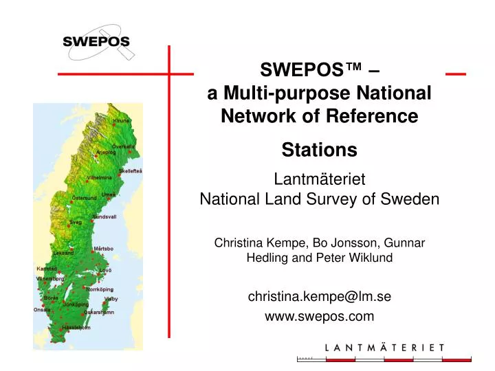
LantmäterietNational Land Survey of Sweden Christina Kempe, Bo Jonsson, Gunnar Hedling and Peter Wiklund christina.kempe@lm.se www.swepos.com SWEPOS™ –a Multi-purpose National Network of Reference Stations
How it started 1991: SWEPOS was established as a collaboration project 1992: Establishment of some experi-mental permanent reference stations 1994: A network of 21 stations in test operation 1995-1999: SWEPOS was designed and financed by a number of governmental agencies 2000-: Lantmäteriet is responsible for operation and development of SWEPOS
The Purpose of SWEPOS The purposes of SWEPOS are • Provide L1 and L2 raw data for post-processing • Provide DGPS and RTK corrections • Act as high-precision control points • Scientific studies of crustal motion • Monitor the integrity of the GPS system
The SWEPOS™ Network 21 complete stations 40 simplified stations 5 IGS stations: Kiruna, Mårtsbo, Borås, Onsala, Visby 7 EPN stations: Kiruna, Mårtsbo, Borås, Onsala, Visby, Skellefteå, Vilhelmina
Mounted on bedrock Power backup for 48 hours 64 kb leased lines for data communication and 19.2 kb lines for back-up Redundant GPS receivers, back-up computers and communication equipment Temperature and power monitoring Burglar alarm Complete SWEPOS Station
Antenna mounted on building Battery back-up for 30 minutes 64 kb data connection, no back-up line One GPS receiver, no back-up computer or communi-cation equipment Monitored by the 21 complete SWEPOS stations (daily) Simplified SWEPOS Station
Data In-door temperature Power supply Data connections Visitors Monitoring of SWEPOS SWEPOS Control Centre
Post-processing data Single-frequency RINEX – metre accuracy Dual-frequency RINEX – centimetre accuracy Real-time data L1/L2 data in receiver format DGPS data RTCM ver. 2.2 – metre accuracy Network RTK data (regionally) – centimetre accuracy SWEPOS Data
EPOS™ (metre accuracy) DGPS service operated by Cartesia RDS channel on the FM radio band Omnistar (metre accuracy) WADGPS service operated by Fugro Satellite distribution Network RTK service (centimetre accuracy) Cellular phone (VRS mode) SWEPOS Real-time Services
Post-processing Service Observation data(RINEX file) Computed position Quality parameters Post-processing Service
Network RTK for navigation and positioning with centimetre accuracy Pre-study projects 1999-2001 Prototype Production Projects, 2002-2003 National Positioning Service + Establishment Projects, 1 Jan 2004 Design Densification of the existing SWEPOS infrastructure Collaboration projects between Lantmäteriet and GPS users Network RTK in Sweden
Pos. Stockholm-Mälaren 2 Väst-RTK SKAN-RTK 2 Prototype ProductionNetworks (2002-2003) • Experiences from the users • Network RTK is efficient and easy to use • The “GPS maturity” of the users is varying • A high availability of the Network RTK service is required • The coverage of suitable distribution channels is a bottleneck in some areas • Standards for data format and GPS receivers are welcome
Network RTK service User fees for operation costs Starting fee: € 550/connection Unlimited data amount:€ 1600 /year and connection Down-loaded data:€ 550 /year and connection +€ 0.5 /min 180 subscribers 1 Feb 2004 1 January 2004 The cost for distribution of data via GSM is not included.
Proposal on a National Network RTK service of 112 stations Estimated investment cost of 4 million € and a yearly operation cost of 2.5 million € The investment is covered by governmental funds and the operation costs mainly by user fees The proposal is approved by the Director General 2005 2006 2005 2004 The Future
2005 2006 2005 2004 Applications today and in the future
A multi-purpose network of permanent stations is bene-ficial both for users and for the providers of national infra-structure for positioning and non-safety-of-life navigation. Further developments in standardisation, reliability and precision are desirable Conclusions