Download
1 / 21
210 likes | 280 Views
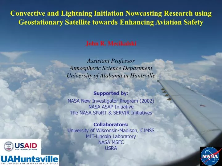
Convective and Lightning Initiation Nowcasting Research using Geostationary Satellite towards Enhancing Aviation Safety John R. Mecikalski Assistant Professor Atmospheric Science Department University of Alabama in Huntsville Supported by: NASA New Investigator Program (2002)

E N D
Convective and Lightning Initiation Nowcasting Research using Geostationary Satellite towards Enhancing Aviation Safety John R. Mecikalski Assistant Professor Atmospheric Science Department University of Alabama in Huntsville Supported by: NASA New Investigator Program (2002) NASA ASAP Initiative The NASA SPoRT & SERVIR Initiatives Collaborators: University of Wisconsin-Madison, CIMSS MIT-Lincoln Laboratory NASA MSFC USRA
Methods: Convective Nowcasts/Diagnoses Why might geostationary satellite be superior to radar? A: Satellites “see” cumulus before they become thunderstorms! A: There are many available methods for diagnosing/monitoring cumulus motion/development in real-time (every 15-min). See the published research. t=–30 min t=–15 min t=Present Monitor… 8 IR fields: CI Time 1st ≥35 dBZ echo at ground
SATCAST Algorithm: GOES IR Interest Fields Note: There are several more IR fields with MSG & MTG
SATCAST Capabilities • 0-1 hour CI nowcasting • 0-90 min Lightning Initiation nowcasting • Satellite climatologies for daily forecasts • 1-6 hour CI/LI forecasting support • Data assimilation possibilities
Good CI detection in Cloudy Environment MIT-Lincoln Lab: CoSPA testing • Using convective initiation to predict storms: • Location – CI score • Timing – how long until VIL reaches CI threshold • Mode – line or cell • Growth – predict growth of cells 1815Z 1945Z 90-min VIL Forecast with satellite CI 90-min VIL Forecast without satellite CI
SATCAST Strengths/Weaknesses Strengths: • Lead time on the radar for CI ~10-45 min (up to 75 min at night) • Provide an alert for first-time LI of up to 1 hour • There is promise for heavy rainfall (QPE) nowcasting • It exploits GEO satellite in the ways it was designed for, namely frequent updates (5-15 min) visible and infrared data • Readily expandable to new instruments/methods • Monitors cloud growth and associated microphysical changes Areas for Improvement: • PODs are very high (>95%) for CI, but so are FARs (~65%) • SATCAST monitors only cloud-top properties • Other non-satellite fields are needed to “constrain” SATCAST nowcasts of CI, LI and rainfall • Little convective environment delineators, presently
Outstanding Questions: New Research • How many interest fields are “important” when performing 0-1 hour nowcasting? • What fields are more important, and which fields are most important in: (a) particular environments, and (b) across environments? • How to constrain satellite CI nowcasts? • Understanding how satellite IR data relate to the physics of cumulus convection, and then, appropriately use the satellite data. • Minimizing errors: Better tracking & detection of cumuli.
Northern Alabama LMA Lightning Source Counts Lightning Initiation Potential 2040-2050 UTC 2140-2150 UTC kkkkkkkkkkkkkkk
LI Theory • Storm Electrification • Through graupel/ice interactions in the presence of supercooled water (non-inductive charge transfer, Reynolds 1957) • Particle collisions transfer charge • Temperature difference between particles and liquid water content determines charge transferred • Particles fall through or are carried upward in updraft and separate charge • Conditions to be observed from satellite: • Strong updraft • Ice particles • NWP model information: • CAPE • Ice/grauple flux through -10 to -15 C layer Saunders (1993) Chris Siewert/UAH - 2007/2008
Daytime Cloud Microphysics: 3.9 m • Separate 3.9 reflection and emission • Uses methods developed by Setvak and Doswell (1991) and Lindsey et al. (2006) • Low 3.9 reflectance values indicate ice aloft • Most accurate for solar zenith angles up to 68o (morning to evening): Undefined > 90o • Expect 3.9 reflectance values ~ 0.05 (5%) for ice clouds R = fk1 / [ exp (fk2 / (bc1 + (bc2 * temp))) - 1 ] • R3.9 calculated using 3.9 brightness temperature and constants • Re3.9(T) calculated using 3.9 constants and 10.7 • brightness temperature • S calculated using 3.9 constants, sun temperature (5800 K), average radius of sun (A) and Earth’s orbit (B), and solar zenith angle
3.9 m Reflectance Calculation • Need to convert brightness temperatures back to radiances: • Now separate components… Provided by ASPB & CIMSS Calibration Homepage
Development of LI Interest Fields • Co-location of satellite and LMA data • Satellite data re-sampled to 1 km2 grid • LMA has slightly smaller grid (~ 0.9 km2) • Match the satellite data to an LMA pixel using nearest neighbor technique with latitude and longitude values • Time-series plot analysis • Examine multiple cells from various case days • Allows for visual representation of interest fields with time in comparison to first flash within the cell • Isolate cell by drawing box around its movement area prior to and after the first flash. • Follow coldest pixel(s) in this box (assumed updraft region) • Average the brightness temperature values of these coldest pixels for all channels and perform channel differences • Plot values 2 hours prior and 1 hour after the first flash within the cell • Compare to expected results and define appropriate initial threshold values for LI interest fields
Mecikalski and Bedka (2006) framework: • Forecast location of first 35 dBZ echo using eight CI “interest fields” • Each interest field represents physical process within growing cloud • Individual pixel must meet at least 7 of 8 field thresholds to be labeled a a “threat” of CI Mecikalski and Bedka (2006)
LI interest period Mecikalski and Bedka, 2006 Chris Siewert/UAH - 2007/2008
Lightning Initiation Interest Fields Chris Siewert/UAH & EUMETSAT - 2007/2008
1-6 hour CI Nowcasting CI “Trends of Trends” - for LI eventually
Ongoing Work with SATCAST • Evaluating use of MSG (as a proxy for ABI) for enhancing SATCAST with additional interest fields, especially related to microphysics • Perform new work with • CloudSAT & MODIS to • enhance SATCAST for • various convective regimes • Transition to FAA • nowcasting system • Bound SATCAST with various other NWP model fields to better bound the CI & LI nowcasts • Determine the feasibility of making 1-4 km QPE nowcasts using this system
Onward to MTG… post MSG (GOES-R) COPS data analysis ongoing
Ongoing Satellite-Lightning Research • NSF: Relating lightning initiation (LI) to polarimetric radar and (geostationary) satellite fields. Several topics…~2-3 graduate students/post-Doc. Into 2011. • NASA ROSES 2007: Optimizing the SATCAST algorithm for convective regimes, and extending to LI across various convective environments. Into 2010. • NASA ASAP: Developments of LI nowcasts and products towards aviation sector. • Overall: How to constrain satellite CI and LI nowcasts with NWP information. Enhance the lightning threat product. • Minimizing errors: Better tracking & detection of cumuli.