Download
1 / 36
360 likes | 482 Views
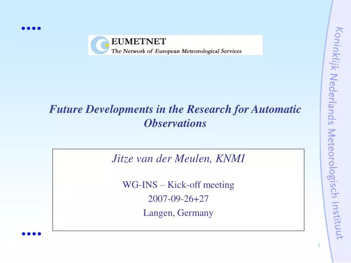
Jitze van der Meulen, KNMI WG-INS – Kick-off meeting 2007-09-26+27 Langen, Germany. Future Developments in the Research for Automatic Observations. Started in 1977: Precipitation identification. Based on light scattering behaviour of small particles In combination with falling velocity.

E N D
Jitze van der Meulen, KNMI WG-INS – Kick-off meeting 2007-09-26+27 Langen, Germany Future Developments in the Research for Automatic Observations
Started in 1977: Precipitation identification • Based on light scattering behaviour of small particles • In combination with falling velocity
Typical for precipitation identifiers: • Multi-sensor design: Algorithms (with discrimination criteria) are required • Filters are used to enhance performance • Not a type of direct measurement • Point measurement (already accepted for MOR and cloud base)
Observing systemsDevelopments in Automatic Observations: the development of instruments is focussed on devices to report the same type of data, previously produced by observers, e.g. • present weather (ww wawa) • cloud type and amount (C, N) • type of fog or mist • weather phenomena, lightning, thunderstorm
Observing systemsExperiences • thunderstorms, lightning ? • snow OR rain OR hail OR mixture ? • rain OR drizzle ? • types of fog, obscuration to vision ? • cloud amount (type) ? • undercooled precipitation (icing) ?
Alternative policy on Observing system developments Introducing • appropriate models describing the present state of the atmosphere • sophisticated algorithms, linking various variables an alternative set of observational data can be required in order to: • convert the data into information
R&D rationale and objectives Issues: • ET/AWS + AWS BUFR Tables are in development and under review: proposal at CBS Ext. 2006 (cont.) • Functional Specifications Reliability • report observed quantities rather than qualitative quantities (“light/moderate/heavy”: subjective) • objectively observed data subjective interpretation • essential: data information. (one way)
database oriented information generators Observations systems USER ¿ SOURCE #1 Sy INFO ¿ INFO Cl SOURCE #2 ¿ INFO Hy SOURCE #3 ¿ INFO Ag ¿ Ae INFO ¿ SOURCE #N-1 Ma INFO ¿ INFO AS SOURCE #N
Functional Specifications for Automatic Weather Stations (CBS ET-AWS) EXPERT TEAM ON REQUIREMENTS FOR DATA FROM AUTOMATIC WEATHER STATIONS GENEVA 20 - 24 March 2006
M = Required for manned stations, [M] = Based on a regional resolution, A = Required for automatic stations, [A] = Optional for automatic stations, X = Required
Present observing technologies useful for PW measurements • remote sensingRadar, Lightning network, satellites • in-situ measurements - light scattering - X-band radar signal reflection - Acoustical, vibrating - other simple detectors
E-PWS-SCI activities*: • Identification of the PW related variables • Identification of automatic measurement techniques already in practice • Identification of shortcoming of PW measuring systems (PWS) • Identify the need for specific R&D and indicate possible potential. • Propose a work programme for the following activities with respect to current and future R&D. • remote sensingRadar, Lightning network, satellites • in-situ measurements - light scattering - X-band radar signal reflection - Acoustical, vibrating - other simple detectors * http://www.knmi.nl/~meulenvd/eumetnet/E-PWS-Sci/
Typical example of a back scatter extinction profile, obtained by a ceilometer/LIDAR. Notice the trend where the top of the fog layer is reduced during a few hours.
Typically shortcomings of PW systems • Only a few sensors are able to identify drizzle, and with an insufficient performance • No PW systems identify hail (although specified); only one specific sensor can detect hail (acoustically) • Mixed precipitation (drizzle/rain or rain/snow) is reported seldomly; mostly as rain only, or as snow only • Type of precipitation is not well reported during very light precipitation • Sky conditions with high clouds (CH) are not well reported because the range of many ceilometers is too short (only developed for aeronautical purposes). As a result cirrus cloud coverage is not reported.
Typically shortcomings of PW systems (continued) • Not all types of icing events are adequately reported. • No observing systems, capable to classify clouds and its characteristics (CL, CM, CH) are manufactured. There are a number of methods published based on R&D, where with a imager-based method in conjunction with a LIDAR system and using radiosonde soundings, clouds can be 'mapped'. • Systems using optics are very sensitive to pollution and require frequent maintenance, especially at coastal stations (deposition of salt by sea spray).
Prioritize R&D: • PW-reports are of significance in case of (expected) dangerous weather • A number of variables can selected to be nominated as primary PW variables with a high degrees of priority: • The existence and rate of solid precipitation (resp. snow) • Icing (freezing of liquid precip) and its intensity • Other types of dangerous weather: current observing techniques are based on measuring the traditional physical quantities automatically and remote sensing techniques: low priority
Requirements (high performance, quality and without false alarms) • The ability to discriminate between solid and liquid precipitation (i.e. around freezing point). • The ability to measure precipitation rates (all types) accurately from a high level down to a very low level of intensity (in particular with respect to icing). • The ability to detect icing conditions, freezing precipitation and the accretion of ice. • The ability to have numerical data on cloudiness, radiation budget and state of the ground
Performance indicators • total performance can be given best by the Equitable Skill Score, or Hanssen-Kuipers Score, to be regarded as a 'likelihood score': • ESS: Equitable Skill Score, defined by the difference of the Probability of Detection and the Probability of False Detection, i.e. POD – POFD.
Performance indicators • Performance indicator can be useful to obtain some impression, or to rank (but detail studies are required), e.g. • POD: Probability of Detection: The fraction of reported events with respect to the total number of real events. • FAR: False Alarm Ratio: The fraction of incorrectly reported events with respect to the total number of reported events. Not overall parameters, only suitable for specific events
Performance indicatorscontingency matrix detector yes no reality yesab nocd • 'event' is for precipitation = yes, then: • POD = a / (a + b) • FAR = c / (a + c) • ESS = POD – POFD = a / (a + b) – c / (c + d) • BIAS = (a + b) / (a + c) [should be 1]
Performance indicators detector yes no reality yes 15% 5% no 5% 80% POD = 75% FAR = 25% ESS = 69% • ‘overall score’ • but most relevant: ‑2°C < T < +2°C
Performance indicators ‘improvers’ “Cosmetic tricks” : using empirical correlations to tune the algorithms • Correlation between type of precipitation and air temperature • Climate constraints ("it never snows in summer, so only rain will be reported") • Extinction - precipitation relation: Visibility will be adjusted using precipitation intensity measurements • Clear sky - precipitation relationship: In case of e.g. 'snow, but no clouds': Clear sky is changed into overcastted. • Air temperature – humidity (“freezing precipitation”)
Variables identified as with high relevance (1) • Temperature. Around freezing point: Air, dew point and surface temperature • Clouds: Position of cloud layers and cloud amount/coverage (coverage measured by satellites might be already accurate enough, so ground based measurements might be over-redundant) • Precipitation: Type, intensity and rate of ice accretion (typically the variables presented by PW-systems or weather identifiers) • Radiation: Net radiation (combination of global and long wave radiation; can be performed by the traditional surface based techniques in combination with satellite observations)
Variables are identified as with high relevance (2) • Obscuration: MOR (or horizontal extinction coefficient; measurement is traditionally based on point measurement of the extinction coefficient) • Lightning: Intensity, polarity, type (can be performed by a regional network, therefore not relevant as output by an AWS to avoid confusion) • Other surface variables: Typically state-of-the-ground and snow depth
Additional observations to enhance the performancethunderstorms, turbulence, convection (CB, CTU), hail • Data from lightning networks • Data from a precipitation RADAR network • Data from other non-surface based remote sensing sources (satellites) Acceptable? Useful?
Merge upper-air / satellite data ? Upper air • Radiosondes • AMDAR (from ascending and descending aircraft) • Profilers using (combined) RADAR, LIDAR or SODAR technologies • Doppler Weather Radar systems, also providing upper-air winds. Satellites (EU projects): ideas • SATREP • CLOUDMAP
Other developments • New network design: new AWS are replacing manned stations resulting in the movement of stations- serious impact on climatological data series, to be solved by parallel measurements (requires adequate planning)- change in representativity (customer related) • New layout of a station (sometimes simplification)- new position of the sensors should be well considered (appropriate siting remains an essential constraint) Ref.: World Climate Data and Monitoring Programme, WCDMP-52 (GUIDELINES ON CLIMATE OBSERVATION NETWORKS AND SYSTEMS) (Photo: Meteorological Service of Canada)