Download
1 / 62
620 likes | 724 Views
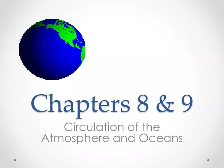
Chapters 8 & 9. Circulation of the Atmosphere and Oceans. Atmospheric Circulation. Is powered by sunlight. Because the sun hits different parts of the Earth at different angles, the Earth heats unevenly. The poles receive less solar energy than the equator.

E N D
Chapters 8 & 9 Circulation of the Atmosphere and Oceans
Atmospheric Circulation • Is powered by sunlight. • Because the sun hits different parts of the Earth at different angles, the Earth heats unevenly. • The poles receive less solar energy than the equator.
Uneven Solar Heating and the Seasons • The Earth rotates on a 23.5o tilt. • Causes N Hemisphere to receive more light in June than the S Hemisphere but less in December. • This also causes days to become longer as summer approaches and shorter as winter approaches.
Uneven Solar Heating and Atmospheric Circulation • Warm-air rises and cool air sinks. • Warm-air near the equator cools and sinks as it approaches the poles. • Cool air near the poles rises as it warms near the equator.
Atmospheric circulation is also influenced by The Coriolis effect – • The rotation of the Earth on its axis deflects the atmosphere toward the right in the Northern Hemisphere and toward the left in the Southern Hemisphere.
Air currents just N and S of the Equator are called Hadley cells. • Hadley cells N of the Equator blow clockwise and winds are called Northeasterly Trade Winds • Hadley Cells S of the Equator blow counterclockwise and are winds called Southeasterly Trade Winds
doldrums • very little atmospheric circulation takes place near the Equator. • The middle latitudes, 30o – 60o are called Ferrel Cells or its winds are called Westerlies • At about 30o latitude, N and S Hemispheres, an area of little or no circulation exists. These are called the Horse latitudes • Polar cells also develop poleward of 60o N and 60o S Latitudes.
N AND S HEMISPHERES BOTH HAVE: • Hadley cells/Tradewinds, Ferrel Cells/Westerlies, Horse latitudes, and Polar cells • Cells in the N circulate clockwise • Cells in the S circulate counterclockwise
Polar cell Ferrel Cell Horse latitude Hadley cell Doldrums Hadley cell Horse latitude Ferrel Cell Polar cell
Cell Circulation:Ideal vs. Actual Wind Patterns
Intertropical Convergence Zone ITCZ) -zone where the NE and SE trade winds converge. -air rises
Monsoons • A pattern of wind circulation that changes with the season • different heat capacities of land and water • Annual north-south movement of the ITCZ
June-September • December -March
Sea Breezes and Land Breezes • Small, daily mini-monsoons • How are the breezes created? • AM sun warms land and water • Water temp. does not rise as much and land • Heat is transferred from land to the air • Expands creating a low pressure over the land • Cooler air from the sea then moves toward land, caused the air to move (sea breeze) • Reverses after sunset, becoming a land breeze • Animation • Animation 2
Storms • Regional atmospheric disturbances • Tropical cyclones • Extratropical cyclones • Form between or within air masses
Air Masses • A large body of air with nearly uniform temperature, humidify, and density • Air takes on quality of land it passes over • Cold, dry • Warm, humid • Boundaries between air masses are called fronts
Extra tropical Cyclones • Form at the boundary between each hemisphere’s polar cell and Ferrel cell – polar front • The wave shape is formed as the air masses (they have different wind directions) • Nor-easters • Storms that move up the mid-Atlantic and New England coasts • Large, devastating storms form about every 100 years
Animation • Weather channel
Tropical Cyclones • Great masses of warm, humid, rotating air • Called hurricanes in the north Atlantic and eastern Pacific and typhoons in the western Pacific • Winds in access of 119 KM (74 mph)
Hurricane Hugo reached its maximum intensity as a Category 5 hurricane on September 15, 1989. central pressure of 918mb (hPa) and a wind speed of 256 km/h (~160mph). • eye of Hugo had a diameter of 30 miles (48 km). • Hugo caused over 1 billion board-feet of lumber (70% of all lumber-quality trees) to fall in the Francis Marion National Forest located in South Carolina • 20 billion dollars in damage in today’s dollars
Each year, the first tropical storm of the season is given a name that starts with A, the second storm is given a name that starts with a B, and so on (the letters Q, U, X, Y, and Z are not used • Women's and men's names are alternated. • The name lists are made up by meteorologists at the World Meteorological Organization. • In the active hurricane season of 2005, Greek letters began to be used to name tropical storms after the letters of the alphabet had been used. • The names of very destructive storms (like Andrew (1992), Camille (1969), Hugo (1989), and Katrina (2005)) are retired and will never be used again.
El Niño and La Niña • Sea surface temperatures play a major role in global weather and nowhere is that more evident then in El Nino and La Nina patterns. • lead to weather extremes • El Niño is characterized by unusually warm temperatures • La Niña by unusually cool temperatures in the equatorial Pacific.
Chapter 9 Ocean Currents
Ocean Currents • There are a number of ocean currents found around the Earth. • A current is like a vast river within the ocean, flowing from one place to another. • caused by differences in temperature, salinity, and wind. • responsible for a vast amount of movement of the water found in the Earth’s oceans.
Surface Currents • Involve 10% of the oceans water • occupies the uppermost 400 meters of water • above the pynocline. • The Trade Winds propel ocean water westward along the equator, and when it strikes a continent, it is diverted poleward. • In mid-latitudes the currents are driven eastward by the Westerlies.
Continents and basin topography block continuous flow • The opposing wind belts flow around the periphery of the ocean is called a gyre
Geostrophic Gyres • in balance between pressure gradient and coriolis effect • Independent of each other • Classified based on positon
6 Major Ocean Gyres: -North Pacific Gyre -North Atlantic Gyre -South Pacific Gyre -South Atlantic Gyre -Indian Ocean Gyre -Circum-Antarctic Current
The North Atlantic Gyre • Consists of four interconnected currents. • Gulf Stream • North Atlantic Current • Canary Current • North Equatorial Current
Effects of surface currents on weather • Water flow • Heat transfer • Moderate climate • Warmer - Edinburgh, Dublin, London (Gulf Stream) • Colder- San Francisco