Download
1 / 18
220 likes | 406 Views
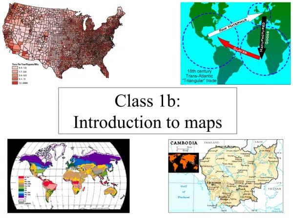
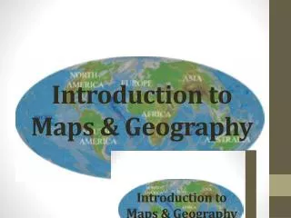
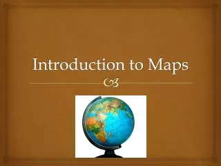
Introduction to Maps. June 6, 2014. Maps defined. A graphic representation of the real world. Maps can be used to show cultural and physical features. List all of the kinds of maps that you know of:. Political Map. Population Map. Physical Map. Road Map. Topographic Map.

E N D
Introduction to Maps June 6, 2014
Maps defined • A graphic representation of the real world. • Maps can be used to show cultural and physical features. • List all of the kinds of maps that you know of:
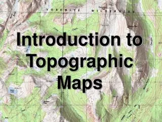
Topograhic Maps • Standardtopographic maps show a variety of information including roads, land-use classification, elevation, rivers and other water bodies, political boundaries, and the identification of houses and other types of buildings.
Weather Maps • A weather mapof the United States shows the location of low and high pressure centers and fronts over most of North America. The intended purpose of this map is considerably more specialized than a topographic map.
Map Makers • The art of map construction is called • People who work in this field of knowledge are called . Cartography Cartographers
Early Map Making • The construction and use of maps has a long history. Some scholars believe that the earliest maps date back to the fifth or sixth century BC. • In these early maps, the main goal of this tool was to communicate information. • Today, the art of map making is quite a sophisticated science, employing methods from cartography, engineering, computer science, and mathematics.
Making the Maps • Representing the true shape of the Earth's surface on a map creates some problems, especially when this depiction is illustrated on a two-dimensional surface. • To overcome these problems, cartographers have developed a number of standardized methods for the creation of two-dimensional maps. • All of these methods create some type of distortion.