Download
1 / 31
310 likes | 437 Views
Traditional Herbal Medicine Café In Jinin -Dong. Team 4. 2010 November. Employment rate: 51.9%. http://blog.naver.com/100suplay?Redirect=Log&logNo=120128059437. Increasing. Of Young CEO. http://economy.hankooki.com/lpage/industry/201106/e2011060218200847670.htm. Idea. challenge.

E N D
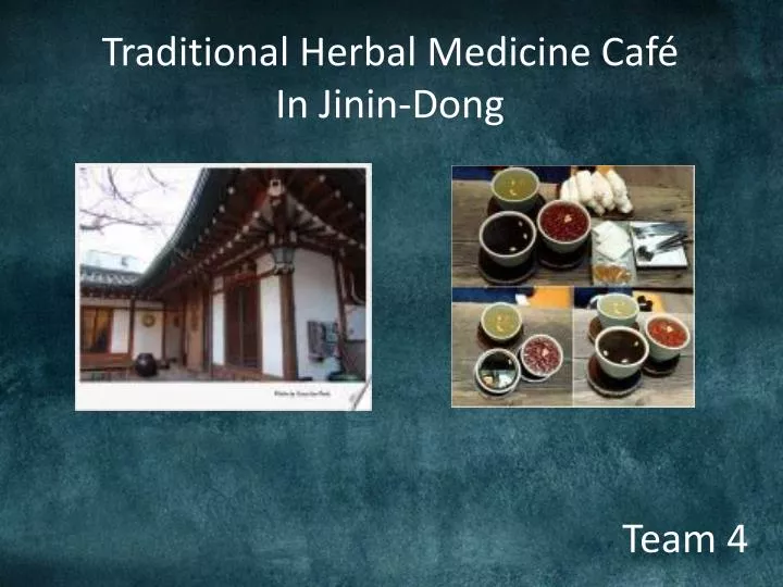
Traditional Herbal Medicine Café In Jinin-Dong Team 4
Employment rate: 51.9% http://blog.naver.com/100suplay?Redirect=Log&logNo=120128059437
Increasing Of Young CEO http://economy.hankooki.com/lpage/industry/201106/e2011060218200847670.htm
Idea challenge
Starting a new business Finding a job
News: 2010.12.7 http://www.etoday.co.kr/news/section/newsview.php?TM=news&SM=0399&idxno=384394
News: 2010.12.7 http://www.etoday.co.kr/news/section/newsview.php?TM=news&SM=0399&idxno=384394
오가다 in Seoul 허준본가 in Chang-Won
Finding 2 Best Place
About Jinin-dong • Administrative district : Gongsan-dong • Location : Near by Palgong Mt, Dong-gu, Deagu city • Size : 83.35km² • Population : 1700 • scenic spot : Palgongmountin(gatbawee.etc)
GIS를 이용한 공간분석 Analysis of region (지역분석) 1. Extract a map Coordinates: 173700, 273409. 174747, 272580.
GIS를 이용한 공간분석 Analysis of region (지역분석) 1) Daum satellite map
GIS를 이용한 공간분석 Analysis of region (지역분석) 2) Map from google earth
GIS를 이용한 공간분석 Analysis of region (지역분석) 2. Overlapping two maps
GIS를 이용한 공간분석 Analysis of region (지역분석) 6. Convert 5. Reclassify 4. TIN 3. Extract layers Ele_pl Asp_pl Slp_pl Sun_pl Ele_rec Asp_rec Slp_rec Sun_rec Elevation Aspect Slope Hillshade (Sun) Contour Road Stream House Grave
GIS를 이용한 공간분석 Extract high insolation catchment area (일사량높은집수구역 추출) Creating Catchment (집수구역 생성) Over 60% area with Sun level of 5~6
GIS를 이용한 공간분석 Extract high insolation catchment area (일사량높은집수구역 추출)
GIS를 이용한 공간분석 Best insolation place worst insolation place
GIS를 이용한 공간분석 worst insolation place Best insolation place
GIS를 이용한 공간분석 Extract high insolation catchment area (일사량높은집수구역 추출)
GIS를 이용한 공간분석 Analysis of individual (개별분석)
GIS를 이용한 공간분석 Analysis of individual (개별분석)
GIS를 이용한 공간분석 Analysis of individual (개별분석)
GIS를 이용한 공간분석 Analysis of individual (개별분석)
How much isit? First house
How much isit? Second house