Download
1 / 16
160 likes | 311 Views
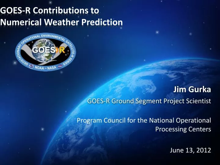
GOES-R Contributions to Numerical Weather Prediction. Jim Gurka GOES-R Ground Segment Project Scientist Program Council for the National Operational Processing Centers June 13, 2012. Why GOES-R?.

E N D
GOES-R Contributions to Numerical Weather Prediction Jim Gurka GOES-R Ground Segment Project Scientist Program Council for the National Operational Processing Centers June 13, 2012
Why GOES-R? GOES-R will provide improved detection and observations of meteorological phenomena that directly impact public safety, protection of property, and economic health and development Lightning Mapping Visual & IR Imagery Space Weather Monitoring Solar Imaging • Improve hurricane track & intensity forecasts • Increase thunderstorm & tornado warning lead time • Improve aviation flight route planning • Data for long-term climate variability studies • Improve solar flare warnings for communications and navigation disruptions • More accurate monitoring of energetic particles responsible for radiation hazards to humans and spacecraft • Better monitoring of Coronal Mass Ejections to improve geomagnetic storm forecasting
GOES–R Milestones Mission PDR Part I System Design Review complete Launch Readiness Oct. 2015 Mission PDR Part II Mission CDR Spacecraft S/C PDR complete S/C CDR S/C SDR complete ABI Delivery ABI Delta CDR complete EXIS Delivery Instruments GLM Delivery MAG Delivery All instruments have passed CDR SEISS Delivery SUVI Delivery Core GS CDR Core GS PDR completed RBU/NSOF/WCDAS installation Antenna System CDR WCDAS complete Antenna System PDR completed GS Project PDR complete ESPDS CDR RBU complete CLASS CDR 100 % delivery of baseline product algorithms NSOF complete GS Project CDR Development Integration and Testing
Program Updates • User Readiness Plan completed February 2012 • Live Media Event at Goddard April 3, 2012 • 2012 tornado season • More than 40 stations across the country participated including the Weather Channel • GOES-R/S Launch contract awarded to United Launch Services, LLC on April 5, 2012 • Completed the joint NOAA/NASA Program Management Council (PMC) review for GOES-R Key Decision Point (KDP)-II/C Confirmation Review on May 16, 2012 • Formally approved the GOES-R Series Program to continue into critical design phase
Program Updates (Con’t) • GOES-R Re-Broadcast • GRB downlink specifications to be released in August 2012 • GRB next generation GVAR with greater bandwidth • GRB Simulator in Development • Summer 2013 availability to address User Readiness • 5 simulators to be made available to vendors and users for developing /upgrading/prototyping real-time satellite reception of GOES-R L1B radiances and products • JCSDA Computing Infrastructure Enhancements • S4 supercomputer at UW-CIMSS • Jibb supercomputer at NASA GMAO • Governance and User accounts in place • NCEP Global Forecast system installed to advance R2O SPD Director Greg Mandt and Program Chief Scientist Steve Goodman tour the Super Computer for Satellite Simulation and Data Assimilation Studies (S4) at UW-CIMSS. The Joint Center in a big box (Jibb) supercomputer at NASA GMAO
Workshop Participation and Support • WMO Joint Working Group on Nowcasting Research and Working Group on Mesoscale Weather Forecasting Research Workshop on the use of NWP for Nowcasting (Boulder, CO, October 24-26, 2011 • NOAA WoF-High Impact Weather 2nd Joint Workshop (Norman, OK, February 7-9, 2011) • Fifth WMO Workshop on the Impact of Various Observing Systems on NWP (Sedona, AZ, May 22-25, 2012) • NOAA Satellite Science Week (Kansas City, MO, April 30-May 4, 2012) • 3rd WMO/WWRP International Symposium on Nowcasting and Very Short Range Forecasting (Rio de Janeiro, Brazil, August 6-10, 2012) • NOAA Satellite Conference (Miami, FL, April 8-12, 2013)- special session on NWP and Data Assimilation for TCs, hurricanes, and heavy precipitation Insert graphic Simulated satellite image: 6.185-m, April 30, 2010
Baseline Products Future Capabilities GOES-R Products
The GOES-R Proving Ground SPC – Norman, OK
Supports the WEATHER & WATERGoal GOES-13 Winds Over Hurricane Irene Using GOES-R Clear-Sky Mask, Cloud and Derived Motion Winds (DMW) Algorithms • Routine (hourly) experimental production of winds derived from GOES-13 11.2um imagery has been established over the Continental United States (CONUS) within STAR’s collaborative computing environment • Some modifications have been made to the GOES-R cloud and wind algorithm software to account for the current operational GOES imager instrument characteristics • Winds derived from GOES-13’s visible, short-wave IR, and water vapor bands will be added to the automation scripts in the near future • Derived winds will be validated against available reference/”ground truth” winds observations captured from other observing systems • Derived winds are being archived locally for use in future retrospective data assimilation studies within the National Centers for Environmental Prediction (NCEP)’s Rapid Refresh and Hurricane Weather Research and Forecasting (WRF) systems. High-Level 100-400 mb Mid-Level 400-700 mb Low-Level >700 mb Significance: Early demonstration of GOES-R algorithms using current operational GOES imagers. Plans and work in place to replace existing operational GOES cloud and DMW algorithms with GOES-R algorithms. Cloud-drift winds derived from 15-minute GOES-13 imagery over Hurricane Irene at 1930 UTC on 26 August 2011 using the clear-sky mask, cloud, and derived motion wind algorithms developed for the future GOES-R Advanced Baseline Imager (ABI). Slide courtesy of J. Daniels, NOAA/NESDIS Sponsored by the GOES-R Program Office and OSD
Influence of Assimilating High-resolution Satellite-Derived Winds on Mesoscale Analyses and Forecasts of Tropical Cyclones-- Example: Hurricane Ike (2008) -- P ≤ 350 hPa 350 < P ≤ 800 hPa P > 800 hPa • Above: As a proxy for GOES-R 5-minute imagery, GOES-East rapid-scan imagery (7-min) is used to derive winds. The coverage vs. normally-available winds is substantially increased over Hurricane Ike. Intensity analysis • Left: Assimilation of the rapid-scan winds into the mesoscale DART/WRF system produces superior analyses of Hurricane Ike’s intensity (OBS) over a Control (CTL) without the winds. Velden, CIMSS
Courtesy of T. Smith and S. Weygandt, NOAA-ESRL/GSD Assimilation of “satcast” convection initiation indicators into the RUC / RAP Observed Radar # of satcast CI indicators 17z 16z 16z +1h GSD RUC forecasts Observed satellite With satcast No satcast 17z 17z 16z 27 April 2012 Improved storm growth with “natural”QC from assimilation of satcast CI data in RUC, coding of satcast assimilation in RAP / HRRR system ongoing
Total lightning data used as a tool within NWP models to provide better initial conditions • GLM Total lightning proxy data from the ENTLN were assimilated into the WRF-ARW model at cloud-resolving scales. • Improved Initial Conditions will provide a better physical background at analysis time towards improving short term high impact weather forecasts (~3h). Lightning data can also used to limit the presence of spurious convection (and cold pools). Key in radar data sparse areas. • To alleviate the need to use proxies for lightning in the model (e.g. lightning threats), full charging/discharge physics are currently being implemented into WRF-ARW within the NSSL 2-moment microphysics. OBS-NSSL MOSAIC Precip CTRL LIGHT Courtesy of A. Fierro, CIMSS/NOAA
Aerosol Transport Model Assimilation of the Wildfire ABBA Fire Product Using the Navy Aerosol Analysis and Prediction System GOES-8 Wildfire ABBA fire product for the Pacific Northwest Date: August 17, 2001 Time: 2200 UTC FIRES Smoke NAAPS Model Aerosol Analysis for the continental U.S. Date: August 18, 2001 Time: 1200 UTC Courtesy of E. Prins, formerly of STAR 14
GOES-R Preparing for Operations Prepare for: • Transition to GOES Rebroadcast (GRB) thatwill replace GVAR and be tested during PLT • New Product Distribution and Accesscapabilities • Post Launch Test of the first in-orbit GOES-R Series Satellites and Ground Segment • Algorithm improvements and the addition of new data products
Thank you! Any ??? For more information visit www.goes-r.gov www.facebook.com/GOESRsatellite