Download
1 / 3
30 likes | 163 Views
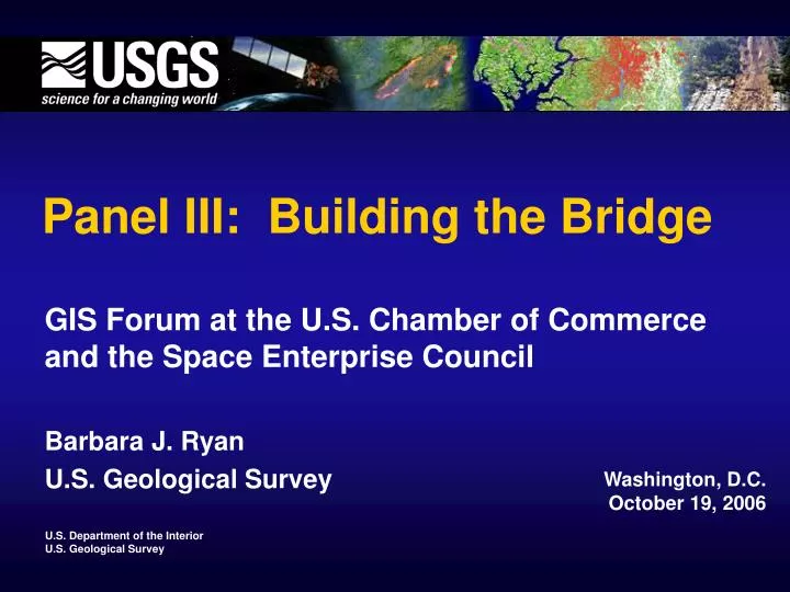
Panel III: Building the Bridge. GIS Forum at the U.S. Chamber of Commerce and the Space Enterprise Council Barbara J. Ryan U.S. Geological Survey . Washington, D.C. October 19, 2006. Landsat Program and Funding History.

E N D
Panel III: Building the Bridge GIS Forum at the U.S. Chamber of Commerce and the Space Enterprise Council Barbara J. Ryan U.S. Geological Survey Washington, D.C. October 19, 2006
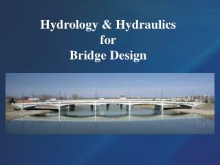
Landsat Program and Funding History Landsat 1 Landsat 2 Landsat 3 Landsat 4 Landsat 5 Landsat 6 EOSAT/Space Imaging L4-5 Operations Landsat 7 DoD $ NASA $ NOAA $ NASA $ NASA $ Acquisition Mission Operations NASA $ NOAA $ EOSAT $ USGS $ Science Data Operations USGS $ NOAA $ USGS $ 2000 1970 1990 1980
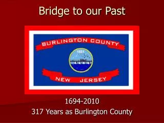
Private Sector Role Public Sector Role (using Private Sector Resources) Public and Private Sector Roles Classified Assets Increasing Spatial Resolution Increasing Product Customization