Download
1 / 18
180 likes | 355 Views
Benjamin Sigrist, Salisbury University Julius Pasay, Wesleyan University Timothy Joyner, Louisiana State University Justin VanderBerg, Michigan State University Matthew Bampton, University of Southern Maine Mark Swanson, University of Southern Maine.

E N D
Benjamin Sigrist, Salisbury University Julius Pasay, Wesleyan University Timothy Joyner, Louisiana State University Justin VanderBerg, Michigan State University Matthew Bampton, University of Southern Maine Mark Swanson, University of Southern Maine A Data Model for Human Ecology Developed on Damariscove Island, Maine
In Brief • Problem: field research environment with large data burden • Solution: data model developed to standardize, make accessible, streamline data process • Application: case studies utilizing the data model
Background • NSF Research Experience for Undergraduate Program since 2000 • Geologic and human ecology research conducted on southern coast of Maine • Diverse data sources/collection methods • Large amount of digital data
The Challenge • Limited time frame for research • Data management is a low priority for field workers • Lack of continuity between annually rotating teams • Due to lack of management, data is inaccessible and underutilized • Need for cyberinfrastructure • Data model has been developed and implemented to manage data
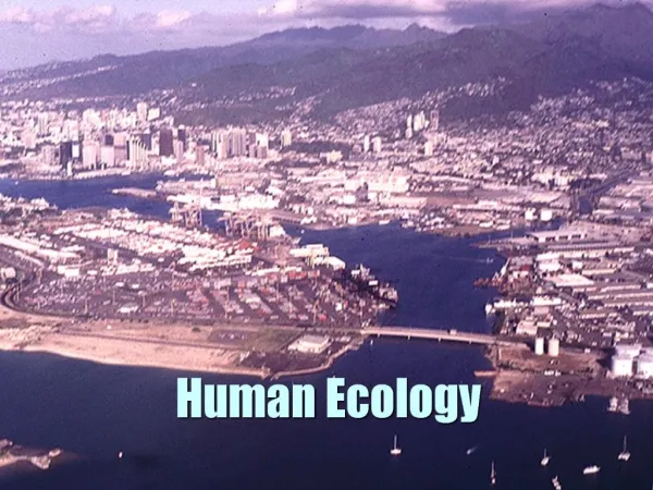
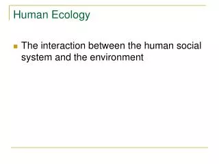
Human Ecology • Requires diverse data sets to explore human interaction with landscapes • Historic maps • Photographic records • Aerial images • Documentary records • Botanical survey • Elevation data • Bathymetric data • Tree coring samples • Land use data
Data Model • Developed with the following in mind • North American Geologic Map Data Model • FGDC • OGC • Goal is to manage data more efficiently, while making it accessible and standard • Consists of three parts (NADM) • Geologic Concept • Geologic Representation (standard ontologies) • Metadata • Designed to be technology neutral to facilitate data sharing
Metadata • Essential, but frequently neglected • Began as a paper system • Three types of cards • Datum • Raw data • Process • Moved to digital system using Microsoft Access
Spatial Data • Data was organized by field location • Standard file nomenclature developed • Transferred to ESRI geodatabase as a beta test • So did it work?
Environmental Case Study • The Human Ecology project explored the history of land-use on Damariscove over four centuries • Wide variety of data collected to analyze • Human structures • Topography • Vegetation • Soils • Landuse • Result: Much more complete knowledge of human interactions with the environment on Damariscove
Glaciation Case Study • This study explored the effects of glaciation on Damariscove Island • Data used: • DEM/Bathymetry from MEGIS and NOAA • Glacial striation field measurements taken with GeoXT • TIN/slope/aspect developed • Result: Alternative regional glacial reconstruction model
Conclusions • Data model developed • Data managed more efficiently • Can be used and built upon by future teams • Model is flexible and can incorporate a wide variety of data sources and formats as illustrated by case studies
Future Work • Data sharing via a data portal • Integrating a more robust spatial database
Acknowledgements • NSF REU Award 0647779 Digital Mapping, Geographic Information System (GIS) Database Construction and Geospatial Analysis of Regional Strike-slip Shear Zone Deformation • University of Southern Maine