Download
1 / 17
180 likes | 360 Views
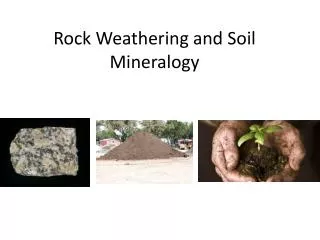
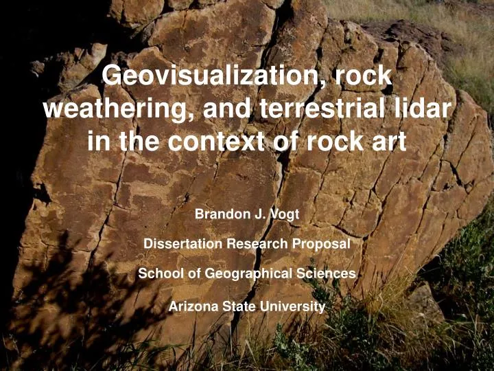
Geovisualization, rock weathering, and terrestrial lidar in the context of rock art. Brandon J. Vogt Dissertation Research Proposal School of Geographical Sciences Arizona State University. Research Question.

E N D
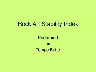
Geovisualization, rock weathering, and terrestrial lidar in the context of rock art Brandon J. Vogt Dissertation Research Proposal School of Geographical Sciences Arizona State University
Research Question How can multiple linked views (MLVs) applied to terrestrial lidar data of rock art and surrounding weathering forms extract new insight of rock instability associated with rock art panels?
Methodology Design & Implementation • Study locations • Weathering features • Lidar • GIS workflow • Geovisualization Evaluation: Proof of Concept
Lidar sensor records round-trip time of laser pulse x,y,zandi
Geovisualization raw tafoni signature
Geovisualization precise tafoni signature
Geovisualization precise fissure signature
Conclusion • Exploration and classification of complex, multivariate geographic phenomena are facilitated with interactive box plots and MLVs • Management decisions related to rock art preservation are justified based on quantitative characterizations of rock surfaces • May prove useful outside of the rock art preservation community
Publication Outlets • Geovisualization • Cartographica, Cartography and Geographic Information Science • Rock weathering • Earth Surface Processes and Landforms, Physical Geography, Zeitschrift für Geomorphologie • Supporting rock art preservation • International Newsletter on Rock Aft, Archaeometry, American Rock Art Research Association newsletter La Pintura