Download
1 / 21
210 likes | 337 Views
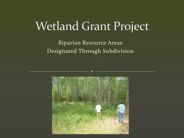
Wetland Grant Project. Riparian Resource Areas Designated Through Subdivision . Highlights. 181 Riparian Areas Visited About half had no major issues “Common Area” RAs had fewer issues than private Educational mailing sent in April (over 1200)

E N D
Wetland Grant Project Riparian Resource Areas Designated Through Subdivision
Highlights • 181 Riparian Areas Visited • About half had no major issues • “Common Area” RAs had fewer issues than private • Educational mailing sent in April (over 1200) • Offered to present at Homeowner’s Associations • Identify potential publically-owned RAs for future restoration efforts • Interactive map on website • Plans on website (may link to map in future)
Most Common Issues • Lack of native riparian veg • Weeds • Mowing or clearing • Grazing • Sheds, retaining walls and other small structures
Riparian Area Ownership • 141 private – 68 had issues • 13 common – 2 had issues
Could regulationbe improved? • How? • More outreach and education? • Offer restoration grants – partner with CD/Weed Dist.? • More consistent requirements for RMPs? • Include County access and enforcement authority in future? Currently most are in covenants Could RMPsbe contained in other part of subdivision pkg? • Delineation of riparian areas to include min. buffer? • Currently based on existing riparian veg plus buffer
Uses for Compiled Information • Use map/database to check before building permits. • Prioritize open space purchases to connect areas. • Target areas for restoration • Link landowners with weed control resources