Download
1 / 19
210 likes | 503 Views
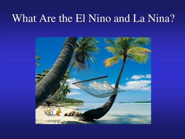
What Are the El Nino and La Nina?. Review of last lecture. The developmental stages and vertical structure of middle latitude cyclones (boundary between northern cold air and southern warm air, upper level low to the west of surface low)

E N D
Review of last lecture • The developmental stages and vertical structure of middle latitude cyclones (boundary between northern cold air and southern warm air, upper level low to the west of surface low) • How upper level longwaves and shortwaves may enhance cyclonic development at the surface (upper level low to the west of surface low) • The three regions of cyclogenesis and typical tracks • Lake effect • Anticyclones, heat waves and droughts • Climate change: move the tracks of the midlatitude cyclones towards the poles
Tropical mean state: Sea surface temperature (SST) Indo-Pacific warm pool Eastern Pacific cold tongue 2 basic regions
Tropical mean state: Precipitation Inter-tropical convergence zone (ITCZ) Strong rainfall (heating) Weak rainfall GPCP Annual Mean Precipitation for 1979-2005 (mm/day)
Tropical mean State: Walker Circulation • An atmospheric circulation cell oriented along the equator with rising motion in the west and sinking motion in the east, which is induced by the SST contrast between the Indo-Pacific warm pool and eastern Pacific cold tongue
is an oceanographic phenomenon that involves wind-driven motion of dense, cooler, and usually nutrient-rich water towards the ocean surface, replacing the warmer, usually nutrient-depleted surface water. Ocean upwelling • Equatorial upwelling: Due to Coriolis effect • Coastal upwelling: Due to Coriolis effect
Tropical mean State: Ocean-atmosphere feedback • Interacts with underlying Pacific Ocean with stronger upwelling (cooling) in the east, leading to a positive feedback.
Movie time! Chasing El Nino
El Nino/Southern Oscillation (ENSO): The 4-year oscillation • El Nino: Very warm sea surface temperature over central and eastern tropical Pacific, which occurs every 3-7 years. The Walker Circulation becomes disrupted during El Niño events, which weakens upwelling in eastern Pacific. • La Nina: the opposite condition to El Nino • Southern Oscillation: The atmospheric oscillation associated with the El Nino-La Nina cycle. • The whole phenomena is now called El Nino/Southern Oscillation (ENSO)
Typical ENSO period is 3-7 years, but with significant irregularity
The dramatic impacts of ENSO around the globe Flood in Lakeport, California as a result of the 1998 El Nino event Bushfire in Australia as a result of the 1998 El Nino event
El Nino effects on U.S. winter temperature Warm temperature around Great Lakes
El Nino effects on U.S. winter precipitation Heavy rainfall Heavy rainfall
El Niño impacts on Peruvian fishing • Large numbers of fish & marine plants die as upwelling is reduced by weakened Ekman transport from weakened trades • Reduce Peruvian anchovy fish catch
Disastrous effects of 1982-1983 El Nino: 1.Australia-Drought and devastating brush fires 2.Indonesia, Philippines-Crops fail, starvation follows 3.India, Sri Lanka-Drought,fresh water shortages 4.Tahiti-6 tropical cyclones 5.South America-Fish industry devastated - decrease in nutrients off Peru- fewer fish (anchovy) 6.Across the Pacific-Coral reefs die 7.Colorado River basin-Flooding, mud slides 8.Gulf states-Downpours cause death, property damage 9.Peru, Ecuador-Floods, landslides 10.Southern Africa-Drought, disease, malnutrition
Summary • Mean state: The two basic regions of SST? Which region has stronger rainfall? What is the Walker circulation? • El Nino and La Nina: Which region has warm SST anomaly during El Nino? 4-year period. • Global impacts of ENSO • Effects of El Nino on U.S. winter temperature and precipitation: Warm temperature around Great Lakes, Heavy rainfall in California and Gulf coast