Download
1 / 16
160 likes | 353 Views
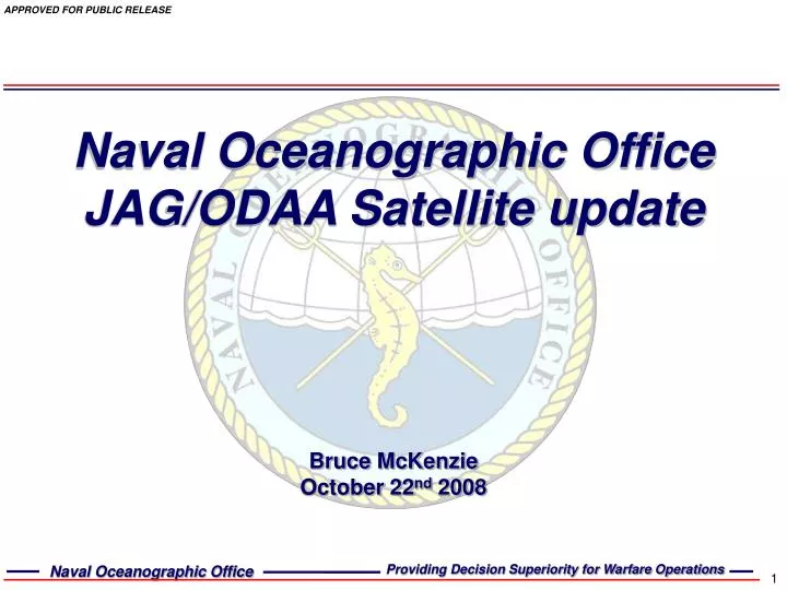
Naval Oceanographic Office JAG/ODAA Satellite update. Bruce McKenzie October 22 nd 2008. Outline. Satellite data sources Satellite data products NPOESS data exploitation Future altimeters. NOAA (DATMS-U) AVHRR MetOp, N-17, N-18 HIRS MetOp, N-17, N-18 Jason- 2 OSTM MODIS AQUA NRTPE

E N D
Naval Oceanographic OfficeJAG/ODAA Satellite update Bruce McKenzie October 22nd 2008
Outline • Satellite data sources • Satellite data products • NPOESS data exploitation • Future altimeters
NOAA (DATMS-U) AVHRR MetOp, N-17, N-18 HIRS MetOp, N-17, N-18 Jason- 2 OSTM MODIS AQUA NRTPE MODIS AQUA GOES direct readout FNMOC (DATMS-U) SSM/I EDR SSM/IS EDR WindSat JPL GDAC Jason-1 GODAE SST ESA Envisat NAVSPACECOM GFO Satellite Data Sources
NOAA (DATMS-U) AVHRR MetOp, N-17, N-18 HIRS MetOp, N-17, N-18 Jason- 2 OSTM MODIS AQUA NRTPE MODIS AQUA GOES direct readout FNMOC (DATMS-U) SSM/I EDR SSM/IS EDR WindSat JPL GDAC Jason-1 GODAE SST ESA Envisat NAVSPACECOM GFO Satellite Data Sources
Satellite Data Products Ocean Feature Analysis Annotated AVHRR
NOAA (DATMS-U) AVHRR MetOp, N-17, N-18 HIRS MetOp, N-17, N-18 Jason- 2 OSTM MODIS AQUA NRTPE MODIS AQUA GOES direct readout FNMOC (DATMS-U) SSM/I EDR SSM/IS EDR WindSat JPL GDAC Jason-1 GODAE SST ESA Envisat NAVSPACECOM GFO Satellite Data Sources
Satellite Data Products Sea Surface Temperature Retrievals SST Field Polar orbiting global SST (9 km) Geostationary SST (12 km) Polar orbiting regional SST (2 km) Geostationary warmest pixel SST composite Global K10 composite
NOAA (DATMS-U) AVHRR MetOp, N-17, N-18 HIRS MetOp, N-17, N-18 Jason- 2 OSTM MODIS AQUA NRTPE MODIS AQUA GOES direct readout FNMOC (DATMS-U) SSM/I EDR SSM/IS EDR WindSat JPL GDAC Jason-1 GODAE SST ESA Envisat NAVSPACECOM GFO Satellite Data Sources
Satellite Data Products Sea Surface Height Anomaly Significant wave height Marine wind speed
NOAA (DATMS-U) AVHRR MetOp, N-17, N-18 HIRS MetOp, N-17, N-18 Jason- 2 OSTM MODIS AQUA NRTPE MODIS AQUA GOES direct readout FNMOC (DATMS-U) SSM/I EDR SSM/IS EDR WindSat JPL GDAC Jason-1 GODAE SST ESA Envisat NAVSPACECOM GFO Satellite Data Sources
Satellite Data Products Satellite Optics
NOAA (DATMS-U) AVHRR MetOp, N-17, N-18 HIRS MetOp, N-17, N-18 Jason- 2 OSTM MODIS AQUA NRTPE MODIS AQUA GOES direct readout FNMOC (DATMS-U) SSM/I EDR SSM/IS EDR WindSat JPL GDAC Jason-1 GODAE SST ESA Envisat NAVSPACECOM GFO Satellite Data Sources
Navy Coupled Ocean Data Assimilation (NCODA) Satellite Data Products Ocean Quality Control (OcnQC) system
NPOESS Data Exploitation • IPO has asked NRL SSC to take lead in Ocean calval • Initial meeting July 08 with following participants • Bob Arnone (lead) and Paul Lyons (NRLSSC) • Alexander Ignatov (NOAA/NESDIS) • Peter Minnett and Bob Evans (RSMAS) • Doug May and Bob Coulter (NAVO) • First priority is to get a proxy VIIRS data stream • Working with Joe Zajic (NOAA/IPO) on software that will ingest MODIS data and convert it to proxy VIIRS data in real-time • the data will be formatted according to the IDPS SDR output specification in HDF5 and will have the MODIS channels spectrally transformed to resemble VIIRS channels • Allows those users getting MODIS data already to run conversion software rather than acquiring another datastream • Will be used for both SST and ocean color NDE
Future Altimeter Satellite data Altika (2010 - 2014) * Considerable assistance required to allow access of data from Indian Space Organization (INSO) and/or CNES * Currently no MOU/MOA exists Sentinel 3 (2012 - 2016) * Spacecraft and data availability still under development * Establish MOU/MOA with ESA to receive data; similar to Envisat agreement