Download
1 / 23
230 likes | 369 Views
Remote sensing of south east Pacific stratus. integral to VOCALS objectives we want to do the best we can: * marine stratus over ocean is the idealization many retrievals of warm cloud properties are based on * VOCALS an opportunity to both nail down retrievals &

E N D
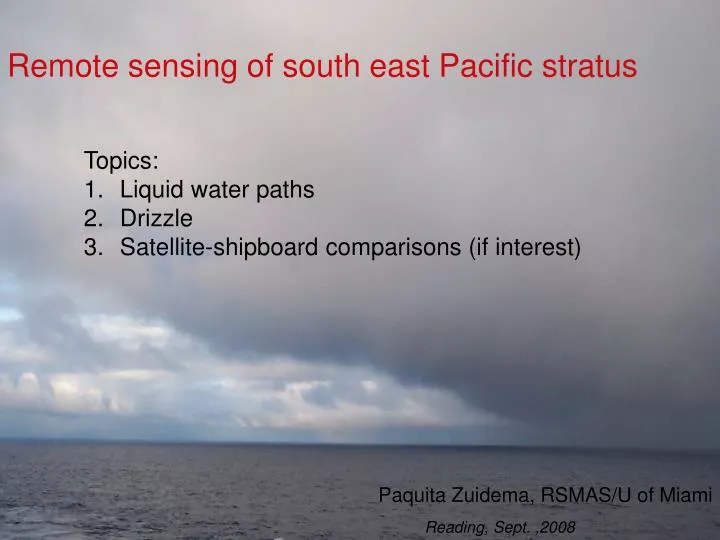
Remote sensing of south east Pacific stratus • integral to VOCALS objectives • we want to do the best we can: • * marine stratus over ocean is the idealization • many retrievals of warm cloud properties are based on • * VOCALS an opportunity to both nail down retrievals & • use “retrieval-breakdowns” to better understand • cloud/aerosol/precip behavior • * unique characteristic/opportunity for VOCALS Topics: Liquid water paths Drizzle Satellite-shipboard comparisons (if interest) Paquita Zuidema, RSMAS/U of Miami Reading, Sept. ,2008
Used cloud volume extinction coefficients constructed from cloud radar+microwave as input into SHDOM
6 ~month-long cruises to the southeast Pacific since 2001 epic TMI SST includes a week at 20S, 85W each cruise • Shipboard instruments : • ceilometer (CT-25K) • Surface radiative & turbulent fluxes • Cloud radar • Wind profiler (if Ron Brown) • Lasair-II aerosol counter (but not EPIC) • Rawindsondes • Microwave Radiometer(s)
During EPIC, LWPs used to assess models and construct further microphysical retrievals
110 < LWP <121 g m-2 121 < LWP <133 g m-2 133 < LWP <146 g m-2 LWPs useful for quantifying aerosol indirect effects tc McComiskey and Feingold 2007 re Factor of -1 in slope, as expected from theory NCCN Aerosol scattering Aerosol index Nd Pt Reyes, CA ARM data PMS Lasair-II particle counter compares well to a TAMU DMA (but we haven’t been able to characterize the Twomey AIE)
More modern gaseous/liquid absorption models produce lower LWPs that compare better to adiabatic values
But they remain noisy…. Current NOAA radiometers have an approximate accuracy of 30 g m-2 at 10-minute resolution adiabatic LWP retrieved LWP retrieved LWP adiabatic LWP Local time Zuidema et al. 2005 Okay for diurnal composite, statistical evaluations For aerosol-cloud-precip evaluations at the eddy scale & re retrievals, would prefer higher accuracy
For VOCALS-Rex: Liquid water path measurements 1. C-130 Andrew Pazmany’s 183 GHz MWR upward-pointing (NSF) 2. Ron Brown: non-NOAA 2-channel MWR + ARM Radiometrics 183 GHz MWR (technically not supported, personal loan + ARM instrument request w/ Dr. Maria Cadeddu)
183-GHz radiometer wing lines still sensitive to liquid water and not saturated by SEP water vapor Using an EPIC sounding 14 7 14 for an instrument noise level of 0.2 K @ 200 ms (Pazmany,2006), a LWP uncertainty of ~ 2 g m-2 all else - WVP - assumed constant
Using epic soundings, Physical retrieval + neural net both find 10 g m-2 clear-sky LWP error for individual measurements, 4 g m-2 bias relative to simulated LWPs Excludes instrument calibration issues, but Radiometrics183 Ghz performed well in Barrow. => Have some confidence in ship-based measurements
C-130 will lack a 20 Ghz MWR • with which to separately retrieve • water vapor, however. • 183 Ghz wing line measurements not enough information for • both water vapor and liquid water path retrievals • What to do? • assume water vapor field more homogeneous than LWP ? • use ship-based data to assess wvp variability? • even if LWPs not absolutely known, their variability can be? • can be bounded by adiabatically-determined LWPs?
Overflights of the Ron Brown by the C-130 valuable comparison opportunities In addition am hoping for one high-altitude climb by the C130 for a good cold-space-calibration brightness temperature reading.
SEP region remarkably drizzly: what is the relationship to LWP, aerosol, mesoscale organization? day night Leon, Wang & Liu, 2008 Note that in SEP region much drizzle evaporates before reaching the surface, changing traditional views on the role of drizzle
A depth-dependent boundary lapse rate that accounts for boundary layer decoupling was empirically deduced from radiosondes and applied to develop a MODIS cloud top height estimate
Cloud depth Aerosol modis ship current work: assess synoptic influence on cloud droplet number concentration builds on Brenguier and collaborators type of ACE analysis ship modis
NOAA Lidar: Epic radar+ lidar Janet Intrieri Lidar could provide insight into mesoscale organization
Remote sensing of south east Pacific stratus • integral to VOCALS objectives • we want to do the best we can: • * marine stratus over ocean is the idealization • many retrievals of warm cloud properties are based on • * VOCALS an opportunity to both nail down retrievals & • use “retrieval-breakdowns” to better understand • cloud/aerosol/precip behavior • * unique characteristic/opportunity for VOCALS Topics: Liquid water paths Drizzle Satellite-shipboard comparisons (if interest) Paquita Zuidema, RSMAS/U of Miami Reading, Sept. ,2008