Download
1 / 9
90 likes | 238 Views
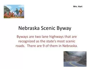
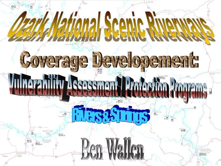
Ozark National Scenic Riverways. Coverage Developement:. Vulnerability Assessment / Protection Programs -. Rivers & Springs. Ben Wallen. AI. ( ). Area of Interest. HUC 11010008. Coverage 1 of 10: HUCs. Coverage 1 of 10: HUCs (continued). Coverage 2 of 10:

E N D
Ozark National Scenic Riverways Coverage Developement: Vulnerability Assessment / Protection Programs - Rivers & Springs Ben Wallen
AI ( ) Area of Interest HUC 11010008
Coverage 1 of 10: HUCs
Coverage 1 of 10: HUCs (continued)
Coverage 2 of 10: DEM - Contour Map
Coverage 3 of 10: Redelination of Basins & Sub-basins
Coverage 10 of 10: Land Cover
Coverages 4 - 9 of 10: 4 & 5) 6 & 8) Springs Rivers & Tributaries Extend Map Roads Landmarks Spring Recharge Area 7) 9) Habitat Type - Rivers/Streams
? ? Challenges: 1) Control Volume Changing 2) Computing Time 3) Completion Timeline ? ?