Download
1 / 21
210 likes | 310 Views
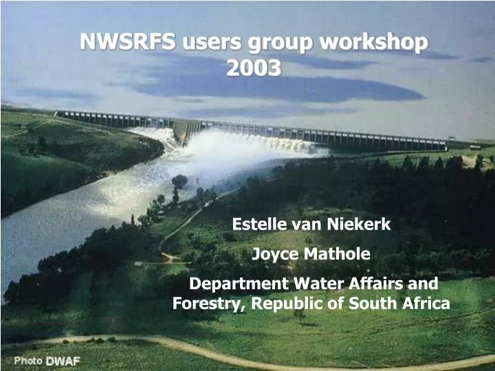
NWSRFS users group workshop 2003. Estelle van Niekerk Joyce Mathole Department Water Affairs and Forestry, Republic of South Africa. Contents. Background of the RSA The RSA NWSRFS Development of the RSA NWSRFS Hydro-meteorological data collection Data flow in the RSA NWSRFS

E N D
NWSRFS users group workshop 2003 Estelle van Niekerk Joyce Mathole Department Water Affairs and Forestry, Republic of South Africa
Contents • Background of the RSA • The RSA NWSRFS • Development of the RSA NWSRFS • Hydro-meteorological data collection • Data flow in the RSA NWSRFS • Problems experienced in implementation and calibration • Key organisations involved in the establishment of the RSA NWSRFS • The way forward
Position of the Republic of South Africa • Southern tip of Africa • Roughly twice size of Texas • Population: 43 million • Rich in natural resources: (platinum, gold, chromium, antimony, coal, diamonds, etc.) • Sport: Rugby, Cricket, soccer, Athletics, golf, etc.
Background • Average rainfall 450mm/year (world average 860mm) • Poor spatial distribution of rainfall • Total run-off 49 200 x 106m3/year • Capacity of large storage dams is approximately 30 000 x 106m3 • Limited ground water potential
Hydro-meteorological Data Collection • Flow data from gauging stations – real time at 52 stations in the Vaal/Orange and 210 country-wide • Rainfall – real time and daily
Data flow in the SA NWSRFS Flow DCP Rainfall Telemetry SAWS Databank & DWAF stations Databank Internal Software SHEF SHEF NWSRFS NWSRFS
History of the RSA NWSRFS • 1996 initiated by a USA delegation from NWS during a visit to the RSA • Decision taken to implement the USA NWSRFS in the Vaal /Orange River system • Previously RSA flood forecasting system comprised only a flood routing model
History of the RSA NWSRFS (continued) • Great enhancement to supplement our previous flood forecasting method • 1999 RSA NWSRFS set up for 12 segments each with only of a (Muskingum) flood routing routine • 2000 Riverside Technology inc (RTI) got involved and by 2003 the RSA NWSRFS was expanded to 47 segments each with a rainfall/runoff-model (Sacramento) and a routing model (Muskingum)
Key organisations in the establishment of the RSA NWSRFS • RSA: • Department of Water Affairs and Forestry (DWAF) • South African Weather Services (SAWS) • Water Research Commission (WRC) • USA • NWS • US AID • Public Affairs Section of the USA Embassy
Problems with current RSA NWSRFS • Calibration • Rain depth – inconsistencies between radar and point-rainfall • Calibration of Sacramento-Soil Moisture Accounting model – Insufficient input of land and water-use data: • Farm dams (total capacity of 150 x 106 m3 in Vaaldam catchment alone) • Urban run-off increases • Return flow • Water transfer schemes • Transmission losses • Spatial and temporal distribution of real-time flow and rainfall data should be expanded to cover whole of RSA • Improved weather forecasts – ongoing research
The way forward • Priority to improve data input (e.g. spatial rainfall data) • Improved Sacramento model calibration through dedicated help • Expand our current RSA NWSRFS • Capacity building