Download
1 / 1
10 likes | 115 Views
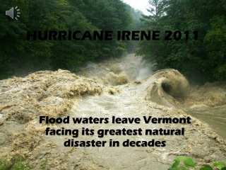
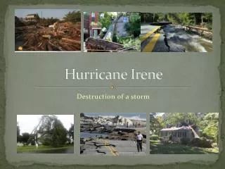
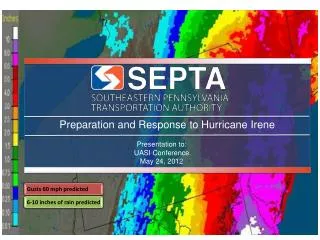
Hurricane Irene Adam Sobel, Suzana Camargo, Hui Shi, Columbia University. Storm surge. Satellite image just after NYC landfall Irene had become quite Asymmetric (non-circular) but still had an eye, despite being only tropical storm strength at this point. This plot shows the water

E N D
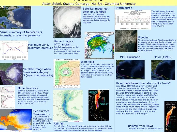
Hurricane Irene Adam Sobel, Suzana Camargo, Hui Shi, Columbia University Storm surge Satellite image just after NYC landfall Irene had become quite Asymmetric (non-circular) but still had an eye, despite being only tropical storm strength at this point This plot shows the water level measured by the tide gauge at the Battery. The peak storm surge was about 4 feet above the normal tide. It happened to be a Spring Tide, higher than usual anyway. Visual summary of Irene’s track, intensity, size and appearance Flooding The most devastating flooding, particularly in upstate NY and New England, was from rainfall. This image shows the sediment plume in the Hudson River and NY harbor from all the flooded streams that drain into the Hudson. Radar image at NYC landfall Rainfall was focused on the north side as Irene Encountered a cold front over land on its northwest flank. Maximum wind, minimum pressure 1938 Hurricane Floyd (1999)_ Wind field A full barb is 10 knots, half a barb is 5 knots; add up the barbs to get the wind speed at any point. 1 knot is 1.15 mph. This wind field is an estimate based on satellite imagery, from when Irene was over the New Jersey coast. Satellite image when Irene was category 3 (near max intensity) Have there been other storms like Irene? Yes. Floyd (1999) had a very similar track to Irene’s, shown above right. The 1938 Hurricane’s track is shown above left. That one was different because it came directly from the ocean, not making landfall before reaching the NY area as Irene and Floyd did. Because it moved fast, the 1938 storm was able to stay strong (category 3) as it came over the colder waters off Long Island. Irene moved much more slowly. Because of its large size and slow motion, it was clear early on that the danger in our area from Irene was rain and storm surge. Model forecasts Different curves show results from different computer models. These forecasts were made on August 24. The track was forecast remarkably well; the intensity forecasts tended to predict a stronger storm than actually occurred. Sea Surface Temperature A rule of thumb is that tropical cyclones need the SST to be at least 26C in order to form, or to maintain their strength. Rainfall The left plot is from satellite estimates (in mm), the right is from rain gauges (which is why it shows nothing over the ocean). Both represent total accumulated rain from Irene’s passage. Rainfall from Floyd Compare to Irene, on the middle panel..