Download
1 / 6
60 likes | 185 Views
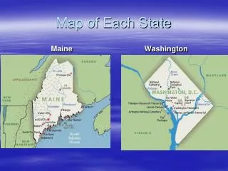
Improving Flood Risk Communication: Unlocking the Potential of the Water Surface Elevation Grid – Accuracy and Applications. State map with County inset. 2004 FIRM Map index. pdf of single FIRM March 2009. All hazard plan cover Risk Map graphic.

E N D
Improving Flood Risk Communication: Unlocking the Potential of the Water Surface Elevation Grid – Accuracy and Applications
All hazard plan cover • Risk Map graphic
Flood Risk Analysis and Risk Reduction Tool cover • Floodzone 3D screen shot