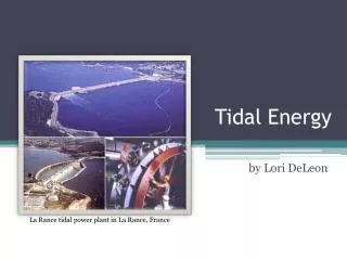
Download
1 / 17
200 likes | 504 Views
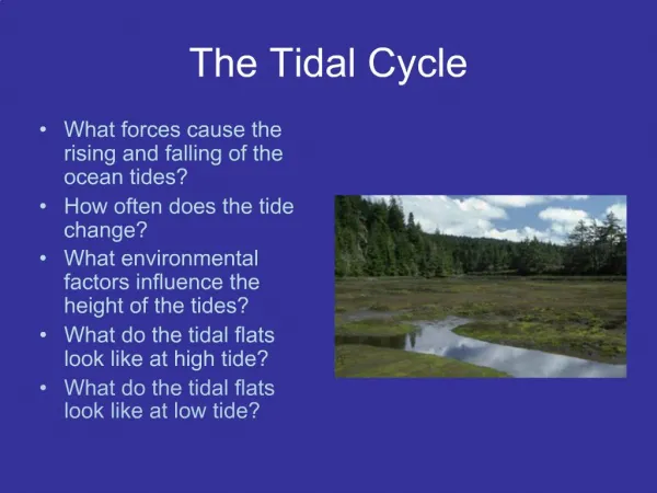
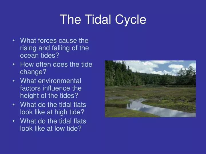
The Tidal Cycle. What forces cause the rising and falling of the ocean tides? How often does the tide change? What environmental factors influence the height of the tides? What do the tidal flats look like at high tide? What do the tidal flats look like at low tide?. What Causes the Tides?

E N D
The Tidal Cycle • What forces cause the rising and falling of the ocean tides? • How often does the tide change? • What environmental factors influence the height of the tides? • What do the tidal flats look like at high tide? • What do the tidal flats look like at low tide?
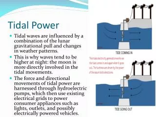
What Causes the Tides? Gravitational Pull from the Moon and Tidal Inertia Results in Tidal Wave that Rotates Around the Earth
Changes in the angle of the Moon result in changes in the heights of high and low tides
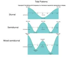
MOON LUNAR DAY: 24 Hrs + 50 min Result: 2 high tides every 12 hrs + 25 min 2 low tides every 12 hrs + 25 min
TIDAL VARIABILITY: Lunar Tides > Solar Tides Spring Tides = Alignment of Moon & Sun / High Amplitude Exchange Neap Tides = Misalignment of Moon & Sun / Low Amplitude Exchange
Locations and tide information for photos • Low Tide (lower low) on June 7, 2004 predicted -1.6 @ 10:35am at Coos Bay mouth using OSU/Hatfield Marine Science Center Dock, Yaquina Bay, OR • High Tide (lower high) on June 7, 2004 predicted 7.0 @ 5:35pm at Coos Bay mouth using OSU/Hatfield Marine Science Center Dock, Yaquina Bay, OR • Photos taken June 7, 2004 at South Slough National Estuarine Research Reserve, Charleston, OR along the shoreline mid-estuary accessed from the Estuary Study Trail System. Low tide photos taken between 10:45am – 11:15am (photographer - Tom Gaskill) • High tide photos taken between 5:45pm – 6:15pm (photographers - Tom & Gabriel Gaskill)
Real-time, Predicted, and Historic Tides are Available On-line: TidesOnline www.tidesonline.nos.noaa.gov