Download
1 / 8
80 likes | 274 Views
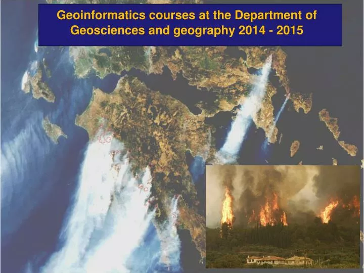
Geoinformatics courses at the Department of Geosciences and g eography 2014 - 2015. Geoinformatics personnel. Mika Siljander : Senior lecturer in GI (until August 2015). Tuuli Toivonen : Tenure track prof. in GI. Petri Pellikka : Professor. Matti Mõttus :

E N D
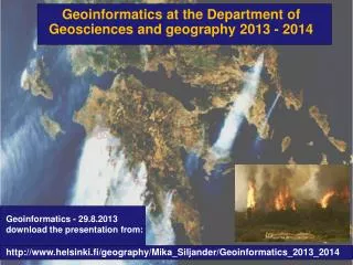
Geoinformaticscourses at the Department of Geosciences and geography 2014 - 2015
Geoinformaticspersonnel Mika Siljander: Senior lecturer in GI (until August 2015) TuuliToivonen: Tenure track prof. in GI Petri Pellikka: Professor • Matti Mõttus : • Postdocresearcher, • docent • Pekka Hurskainen: • -PhDStudent • CHIESA projectcoordinator • - GI-teaching • Janne Heiskanen: • Postdocresearcher, • -BIODEV project Johanna Hohental: PhD. Student Tuure Takala: PhD. Student XiaochenZou : PhD. Student • Maeda, EduardoEiji: • -CHIESA project • Postdocresearcher, Maria Salonen: PhD. Student – now in Copenhagen
2014 – period 1 • 560411 Basics of GIS for English-speaking students (web course), 3 cr. • Starting on 8.9.2014 using mainly Quantum GIS butalsoArcGIS 10 software • Web GIS course implemented in Moodleplatform: • https://moodle.helsinki.fi/course/view.php?id=13571 • (linkopensup on Monday 08.09.2014 ) • ennrollmentkey: mygis2014 • Students will make GIS practicals and return final reporttoMoodle • If youwanttotake the course email tomika.siljander@helsinki.fi • GRADING: Fail/Pass • 562820 Raster GIS(5 cr.) (thiscourse is alreadyoverbooked!) • However,it is possibleto make thiscourseindependentlyifyouhavealreadyfairlygoodGIS skillsusingArcGIS software • all course material available from University ofHelsinkiMoodleplatform - https://moodle.helsinki.fi/. Email tomika.siljander@helsinki.fi for more information
2014 – periods 1 and 2 • 56301 Methods in Remote Sensing 5 cr. • 2.09.2014 -17.10.2014 • - lectures in Finnish – lecture PDFs also available in English • Practicals: instructions available in English. • 2014 teaching only in Finnish and groups are already full. • However, if studentare able to workindependently contact • Instructor VuokkoHeikinheimo for more details. • vuokko.heikinheimo@helsinki.fi • (This course is suitable for student with basic skills of remote sensing and who has some knowledge of Erdas Imagine software) • - Software used: Erdas Imagine 2014 • Responsibleteacher: prof. Petri Pellikka. Email: petri.pellikka@helsinki.fi
563010 Advanced remotesensing, 4 cr 30 March – 28 April 2015 Course introducestopicalresearch and methods in remotesensing of landcover and vegetation Deepens content of the “56301 Remote sensing methods” Improves students’ ability to use remote sensing methods in their MSc theses and research Lectures, exercises and practical work Responsibleteacher: Janne Heiskanen (janne.heiskanen@helsinki.fi)
Lecture topics in Advanced RS in 2014: • Review of topical research and trends in remote sensing of land cover and vegetation • Atmospheric and topographic corrections for satellite data • Estimation of land cover and vegetation biophysical attributes from satellite data • Laser scanning for characterization of vegetation 3D structure • Remote sensing of land surface temperature and precipitation • Land change detection and modelling Practical work: • Image processing in R software environment • Forest biomass mapping using airborne laser scanning
3 credits 3 lectures (2 hours each) and 3 practical (4 hours each) Dates and times: 560761 - Basic hydrological concepts with GIS applications Responsibleteacher: EduardoMaeda (eduardo.maeda@helsinki.fi) Evaluation:The evaluation will be done based on a small pre-course assignment, one exercise after each lecture and short projects that will be carried out during the practical classes.
Course content (subject to some changes)