Download
1 / 29
290 likes | 402 Views
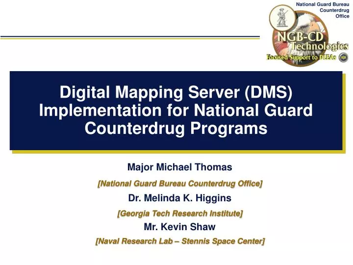
Digital Mapping Server (DMS) Implementation for National Guard Counterdrug Programs. Major Michael Thomas [National Guard Bureau Counterdrug Office] Dr. Melinda K. Higgins [Georgia Tech Research Institute] Mr. Kevin Shaw [Naval Research Lab – Stennis Space Center].

E N D
Digital Mapping Server (DMS) Implementation for National Guard Counterdrug Programs Major Michael Thomas [National Guard Bureau Counterdrug Office] Dr. Melinda K. Higgins [Georgia Tech Research Institute] Mr. Kevin Shaw [Naval Research Lab – Stennis Space Center]
Digital Mapping Server(DMS) • DMS was initiated to address extensive GIS requirements of CD-GRASS and DMI. • “Server” indicates access to GIS data from many sources (Federal, State, Local, etc.) NOT storage of data. • Standard data sources (e.g. NSDI) and server protocols are key. • Leverage from FGDC clearinghouse and framework, Open GIS Consortium programs, Digital Earth, and other GIS data sharing efforts (e.g. Geography Network).
GOTS + COTS DMS Portal - 2 Approaches Working in Concert: [Key is to Minimize Data and Training Costs] • Government-off-the-shelf (GOTS) • Geospatial Information Database (GIDB) – NRLSSC • Commercial-off-the-shelf (COTS) • ESRI’s ArcIMS – GTRI
NGB CD TECHNOLOGIES DIGITAL MAPPING CENTER (DMC) STATE and COUNTY INDEX DMC uses ESRI shape files for mapping. We understand that many departments won't have these files readily available, particularly small departments. We have put together packets of all the free map files we can for each county in the US. If you know of sources for more states than we have, please pass that along to us so we can update it for everyone. When you download the compressed package, it contains streets, streams, parks, municipal buildings, lakes, and boundaries. There is a readme file in the package to explain the naming conventions for the files. DMC County Index
Dale • Dallas • De Kalb • Elmore • Escambia • Etowah • Fayette • Franklin • Geneva • Greene • Hale • Henry • Houston • Jackson • Jefferson • Lamar • Lauderdale • Lawrence • Lee • Limestone • Lowndes • Macon • Madison • Marengo • Marion • Marshall • Mobile • Monroe • Montgomery • Morgan • Perry • Pickens • Pike • Randolph • Russell • St. Clair • Shelby • Sumter • Talladega • Tallapoosa • Tuscaloosa • Walker • Washington • Wilcox • Winston Example: Shape file maps for Counties in Alabama (Alphabetic Listing) • Autauga • Baldwin • Barbour • Bibb • Blount • Bullock • Butler • Calhoun • Chambers • Cherokee • Chilton • Choctaw • Clarke • Clay • Cleburne • Coffee • Colbert • Conecuh • Coosa • Covington • Crenshaw • Cullman
DMS PortalFuture Upgrades • FGDC Meta Data Import/Export • Add Web Feature Server Handling • Develop an ArcMap Interface (DMC County Index built as one db with layer selection) • Expand Servers connected to Portal • Add built-in Digital Mapping Center (DMC)-type functions/product generation with one click execution • Develop Broker layer to hide complexities of having so many servers connected simultaneously as well as rapidly allow a user to locate the information requested
DMS PortalFinal Thoughts • Still in development – beta-testing in progress • Initial Version “to be deployed” (“being deployed”) Fall 2002 • Optimize Access to Remote DBs – Increase Speed • Automated Re-Projection Issues Need Work with ArcIMS Servers • Welcome Opportunities to Connect, Share, Collaborate – Data, GUIs, Networking
Contact Information • NGB-CDX-X http://ngbcdtech.gtri.gatech.edu • (404) 894-0621 (Maj. Michael Thomas) Email: thomasm@cdmail.ngb.army.mil • CD-GRASS http://cdgrass.gtri.gatech.edu • (404) 894-4971 (Dr. Melinda Higgins) Email: Melinda.Higgins@gtri.gatech.edu • NAVAL RESEARCH LAB • (228) 688-4197 (Mr. Kevin Shaw) Email: shaw@nrlssc.navy.mil