Download
1 / 25
250 likes | 417 Views
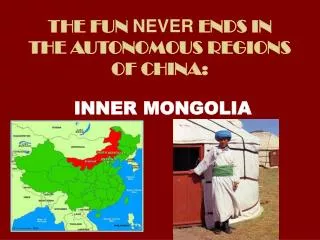
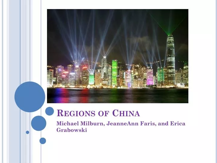
Regions of China. Michael Milburn, JeanneAnn Faris , and Erica Grabowski . The Northeast Region Of China. The Northeast Region of China is surrounded by the Amur River, the North China Plain, and the Greater Khingan Range.

E N D
Regions of China Michael Milburn, JeanneAnnFaris, and Erica Grabowski
The Northeast Region Of China • The Northeast Region of China is surrounded by the Amur River, the North China Plain, and the Greater Khingan Range. • The Northeast Region region is home to most O of China’s major lowland lowlands.
The Northeast Region of China • Beijing • Beijing, being the nation’s capitol, has made the Northeast region the core of China. • Even now, with a communist government, Beijing remains a major seat of power. • However, Beijing may be losing power, as people move to the Southeast for money, and job opporunities.
The Northeast Region Of China • The North China Plain is the most agricultural area of China. • The soil has been made fertile by loess- or a fine yellow loam deposited by seasonal dust storms. • This is how the Huang He got it’s nickname the Yellow River.
The Northeast Region Of China • The Huang He • Serves as a 3,395 mile long transportation route to the sea through the Gobi Desert to the North China Plain. • When there is heavy rain the river floods and can take many peoples lives along with their homes and and crops. • Because the River has caused so many deaths it has been called “China’s Sorrow” • At times the river will dry up for months because so many people depend on it for water. The government has set up a program to transfer water from the Yangzi River into the Huang He to solve this.
The Northeast Region Of China • The Huang He
The Southeast Region Of China • In comparison to the Northeast the Southeast region of China is more mountainous and has a more tropical climate.
The Southeast Region Of China • The Southeast Region is home to good farmland. • A common agricultural strategy is to use double cropping. • Double Cropping- Growing more than one crop on the same farmland in the duration of that year.
The Southeast Region Of China • Rice is the most common crop in the Southeast region.
The Southeast Region Of China • The Valley of the Yangzi River (AKA Chang) • Because, of the fertile land, the Valley of the Yangzi River is one of the most densely populated regions of China, with aproximately 5,000 people per square mile. • The Yangzi River Valley is used by China to transport goods from the East to the West of China, as well as towns deeper inside of China.
The Southeast Region Of China • The Three Gorges Dam is being built inland in the Southeast Region on the Yangzi, which is believed to generate energy, and maintain/stop flooding. • People who live in many of the towns along this river have to be moved because of the formation of a lake behind the dam.
The Southeast Region Of China • Economic Zones • As result of the Four Modernization, special economic zones have been created to attract foreign investment, and technology to China. • These zones have brought great economic success to China, since their creation.
The Northwest Region Of China • The Northwest region has a stark, rugged and mostly inhospitable terrain. • The Gobi Desert acts as a Northwest boundary. • The TaklaMakan Desert covers much of one of the two major basins in this region.
The Northwest Region Of China • A major landmark in the region is the Silk Road.
The Northwest Region Of China • Towns were created from natural flowing oases along the Silk Road. • Some became small cities like Kashgar, which has a population of over 300,000 people.
The Northwest Region Of China • The city of Urunqi has a population of 1.5 million. • There are few farmers in the area, because of scarce water resources.
The Northwest Region Of China • Nomadic herding is the most popular occupation in the Northwest region. • Herders drive their herds to the mountains during the summer, and to the lowlands during the winter.
The Southwest Region Of China • Tibet • Most of the Southwest region of China is covered by the Plateau of Tibet. • This is a cold dry plateau with elevations of 4,300 m and surrounding mountains of 6,100 m. • The Plateau is very isolated from the rest of the country.
The Southwest Region Of China • Tibet has a strict traditional society based on Buddhist religion. • Tibet is ruled by a theocrat- or someone who claims to rule by religious or divine authority.
The Southwest Region Of China • When China became ruled by a communist government in 1965, Tibet was declared an autonomous region- or a political unit with limited self-government. • This caused the Tibetan culture to be threatened, however, they still held on to their traditional ways. • Tibetans are resolved to gain independence.
Bibliography • Baerwald, Thomas John., and Celeste Fraser. World Geography: Building a Global Perspective. Upper Saddle River, NJ: Prentice-Hall, 2003. Print. • "Hong Kong Skyline Pictures." Welcome to See and Enjoy. Web. 07 Feb. 2012. <http://javed-sultan.blogspot.com/2011/03/hong-kong-skyline-pictures.html>.
Bilbliography • "Northeast China Rain." Global Crop Production Analysis. Web. 07 Feb. 2012. <http://www.pecad.fas.usda.gov/highlights/2006/06/china_26jun2006/>. • http://english.people.com.cn/92824/92845/92876/6442504.html • "Huang He River Valley Civilization Timeline." Online Bodybuilding Tips | Bodybuilding Tips | OnlineBodybuildingTips.org. Web. 07 Feb. 2012. <http://onlinebodybuildingtips.org/creditrepair/wp-includes/js/tinymce/plugins/inlinepopups/skins/huang-he-river-valley-civilization-timeline>.
Bibliography • "Winter Landscape Tour of China,Guilin,Kunming,Shanghai,Huangshan(12 Days) - China Winter Tour." China Tours, China Travel Agency, China Tour Operator, Yangtze River Cruise. Web. 07 Feb. 2012. <http://www.chinaodysseytours.com/tours/12-days-Winter-Landscape-Tour-of-China/brief-itinerary.html>. • Simply Rice. Web. 07 Feb. 2012. <http://www.philrice.net/>.
Bibliography • "Chinese Cut Methane Emissions through Better Rice Farming | Climate Shifts." Climate Shifts | Science, Climate Change, Coral Reefs and the Environment. Web. 07 Feb. 2012. <http://www.climateshifts.org/?p=3106>. • "The Silk Road - Pictures." Earth System Science | Contributing to a Fundamental Scientific Understanding of the Earth as a Coupled System, through Research and Teaching. Web. 07 Feb. 2012. <http://www.ess.uci.edu/~oliver/silk2.html>.
Bibliography • "Tibetan History | Free Tibet." Home | Free Tibet. Web. 07 Feb. 2012. <http://www.freetibet.org/about/key-dates>.