Download
1 / 41
420 likes | 843 Views
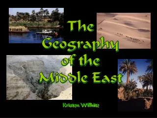
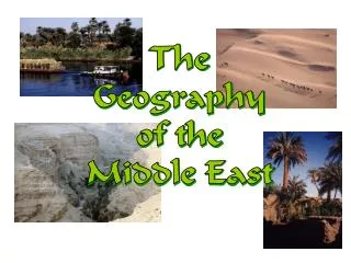
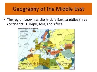
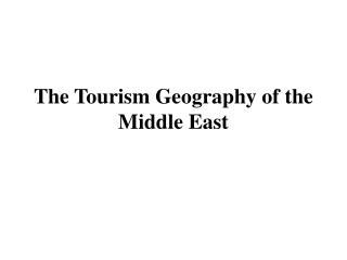
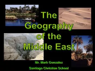
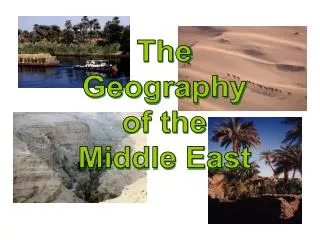
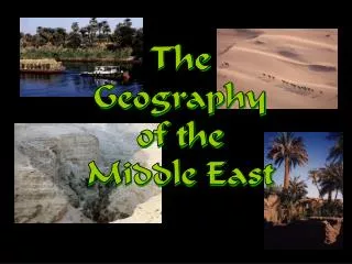
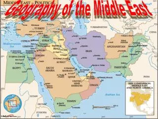
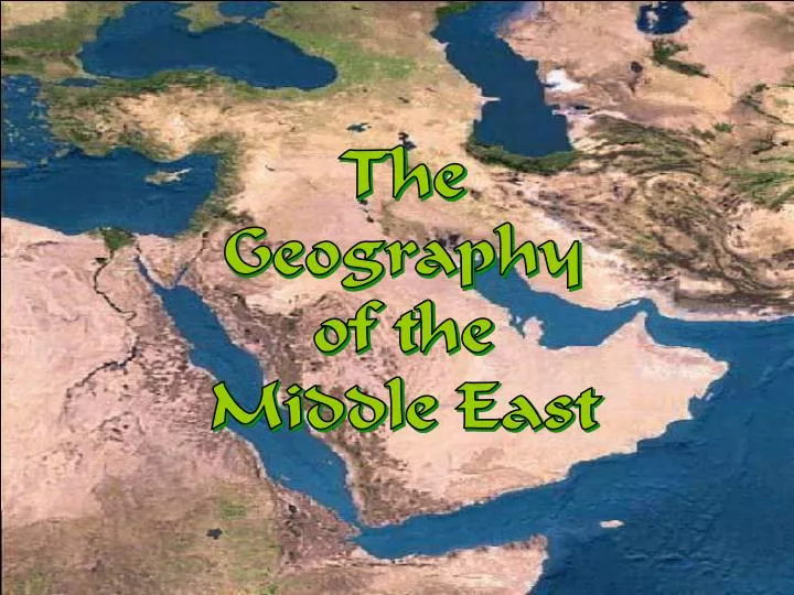
The Geography of the Middle East. The Geography of the Middle East. Satellite Image of The Middle East. Political Map of The Middle East. Predicament : Traditional Middle East? OR Near East? OR Greater Middle East? OR….?. Topography. Large Bodies of Water.

E N D
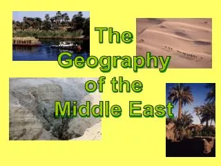
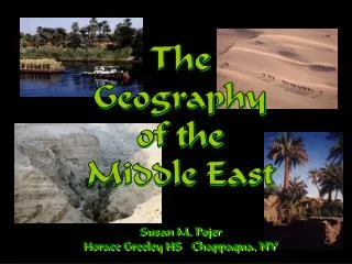
The Geography of the Middle East The Geography of the Middle East
Predicament: Traditional Middle East? OR Near East?ORGreater Middle East? OR….?
Arabian Peninsula Bodies of Water The Persian Gulf The Red Sea The Gulf of Aden The Gulf of Oman
TheJordan River • Connects the Sea of Galilee to the Dead Sea
The Dead Sea • 2,300’ below sea level • Lowest Point on Earth • HighestSaltContent(33%)
Suez Canal • Completed by the British in 1869 • 120 miles long, 79 ft deep, & 673 ft wide • Connects the Mediterranean Sea to the Red Sea
Mountains & Peninsulas Caucasus Mts. Taurus Mts. Elburz Mts. Zagros Mts. The Arabian Peninsula Hejaz Mts.
Mountain Ranges in Mid-East Elburz Mts., Iran Zagros Mts., Iran CaucasusMts., Turkey & Russia Taurus Mts., Turkey
The Arabian Peninsula “The Arabian Subcontinent” • 1, 250,000 sq. miles • The world’s largest peninsula
Deserts NegevDesert SinaiDesert ArabianDesert Libyan Desert
The Arabian Desert • 2,330,000 sq. miles • Covers 90% the Arabian Peninsula
Rub al-Khali:“The Empty Quarter” • 250,000 sq. miles • Covers southern third of the Arabian Peninsula
The Fertile Crescent • Area of Moist & Fertile land • Nicknamed: “The Cradle of Civilization” • Birth of various early civilizations
Natural Disasters
Swarms of Desert Locusts! • Israel Hit By Worst Locust Plague Since the 1950s! • Locusts Swarm the Pyramids Complex at Giza!
Kuwait: An Island Floating on a Sea of Oil KuwaitCity
Leading U. S. Oil Suppliers The U. S. imports 30% of its oil needs from the Middle East.
Cairo, Egypt: Most Populated City in the Middle East 17,000,000+People!