Download
1 / 19
190 likes | 272 Views
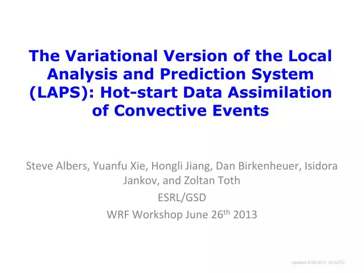
The Variational Version of the Local Analysis and Prediction System (LAPS): Hot-start Data Assimilation of Convective Events. Steve Albers, Yuanfu Xie, Hongli Jiang , Dan Birkenheuer, Isidora Jankov, and Zoltan Toth ESRL/GSD WRF Workshop June 26 th 2013. Updated 6/2 5 /2013 1 81 0UTC.

E N D
The Variational Version of the Local Analysis and Prediction System (LAPS): Hot-start Data Assimilation of Convective Events Steve Albers, Yuanfu Xie, Hongli Jiang, Dan Birkenheuer, Isidora Jankov, and Zoltan Toth ESRL/GSD WRF Workshop June 26th 2013 Updated 6/25/2013 1810UTC
Presentation Outline LAPS Overview Windsor Tornado Hazardous Weather TestBed (HWT) Future Plans
LAPS System Overview Background (or cycled forecast) Observations Data DataIngest Standalone downscaling module Intermediate data files Analysis Scheme Variational LAPS (with downscaling) Traditional LAPS GSI Downscaling can work as a stand alone module from background → GSI or other applications such as Fire wx. Model prep Downscaling is also an integral part of variational LAPS (aka. STMAS). FORECAST MODEL (e.g.WRF) Verification
LAPS Motivation High Resolution (500m – 20km), rapid update (10-60min) Highly portable system Collaboration with user community - about 150 world wide • Federal Gov’t – NWS, RSA, PADS, FAA, DHS • State Gov’t – California Dept of Water Resoures • International – Finnish Met. Inst., China Heavy Rain Inst. • Local to Global analysis – used by SOS Wide variety of data sources: OAR/ESRL/GSD/Forecast Applications Branch *
Transition from Traditionalto Fully Variational LAPS Large Scale Model First Guess Cycling Option state vars, wind (u,v) clouds / precip balance and constraints in multi-scale variational analysis Numerical Forecast model Ultimately Var. LAPS Temporary hybrid system: Traditional LAPS cloud analysis and balance Wind analysis Temp/Ht analysis Humidity analysis Cloud analysis balance Traditional LAPS analysis: Wind, Temp, Humidity, Cloud, Balance
Cloud Analysis Flow Chart Cloud Fraction 3-D Isosurface (From radars and model first guess) *
Cloud Analysis Independent Validation All-sky Imager • Compare LAPS simulated all-sky analyses (or forecasts) to actual all-sky imagery • Validates quality of analyses (or forecasts) of clouds / visibility obstructions All-Sky Camera Sun Glare Courtesy: Longmont Astronomical Society
Cloud Analysis Independent Validation All-sky Imager • This example has more clouds with high opacity • Validation leads to improvements (e.g. parallax correction, thin cirrus) Sun Glare Courtesy: Longmont Astronomical Society
Windsor - 700 mb reflectivity initial=2008052217, 1h fcstMosaic radar vs. WRF forecast (1.67 km res) Forecast Analyzed Radar / 10 min T T
Hazardous Weather Testbed (HWT) Experimental Warning Program (EWP) 2013 Experiment Domains & Fields Forecast: regional domain at 1 km and 3 km resolutions, hourly re-initialization with15 min model output. • Composite Reflectivity • CAPE • CIN • Updraft Helicity • Lifted index • Satellite simulated IR Brightness Temperature • Fractional Cloud Cover • Cloud Ceiling Surface analysis: conus domain at 2.5 km resolution available hourly • Surface Temperature • Dew Point Temperature • U,V wind component • PMSL • surface pressure
Observed & Forecast IR Satellite Brightness Temp HWT 3km Domain 25Jun2013 0400- 0600Z OBS Forecast • Simulated VIS also available (derived from cloud amount) • Forecasters are naturally familiar with satellite images • Used for objective cloud forecast verification
HWT Forecasters’ Input(real time EWP Blog) LAPS again. Higher CAPE, bow echo. Lower CAPE, bye bye bow echo. Posted on May 14, 2013 “In my opinion, the LAPS surface-based CAPE product was one of the stars of the day. Consistently, storms lived and died based on entering and exiting the tongue of higher CAPE values which extended north and northeast from the Big Bend area for most of the day. This first image shows the LAPS surface-based CAPE at 00Z, and the radar at the same time. Shouldn’t be hard to pick out the storm of interest. Note that the storm is still in the tongue of 1000+ J/kg of CAPE as noted on LAPS. One hour later, the storm is exiting and entering a less favorable instability regime. And predictably, it starts to weaken Any questions? LAPS nailed it.” CL
Moore Tornado Related Blog Entries LAPS Observations and Determining Future Storm Development… Posted on May 20, 2013 “Just a quick post about observationsof the LAPS theta-e fieldthis afternoon.It was interesting to see the near stationary aspect of the theta-e boundary in assoc/w the dryline to our south across portions of north Texas this afternoon. This suggests that continued development is possible late this afternoon especially across northern Texas, where the gradients have been sustained and have even increased lately. However, notice that the gradients have decreased generally across much of Oklahoma where convection and related effects (rain cooled air, cloud shield) have helped to stabilize the environment. The 15-minute temporal resolution of the product can be very useful for diagnosing locations of continued convection especially in rapidly developing convective situations.” 2130UTC 2115UTC 2200UTC 2145UTC LAPS analysis. Shaded values are sfc theta-e (K), while wind vectors are in blue. LAPS niche: Good handle on existing convection and lead time on CI
HWT1km V-LAPS 0-3h Composite Reflectivity Verification Var. LAPS Initialization Higher ETS (best at short lead time) Compare WRF initialization schemes, work with DTC?
Simulated IR Satellite Forecast Simulated IR Satellite LAPS / WRF 6-Hr Forecast Verification Forecast high clouds sometimes look too thick *
Future Plans - Cloud Analysis Develop and validate forward models and their adjoints for all data sources being used to more fully implement a variational approach Utilize improved constraints relating various control and derived variables Combine ensemble background error covariances into multiscale variational analysis, i.e., different scale error covariances applied at different multigrid levels of the variational LAPS analysis * OAR/ESRL/GSD/Forecast Applications Branch
Cloud Forecast Plans Improve Hot-Start Elements • Hydrometeors, Temperature, Water Vapor, Vert-Vel Examine various WRF radiation options and their consistency with microphysics Consider water vapor given small-scale / partial clouds in a grid-box Combine with analysis for 4DVAR OAR/ESRL/GSD/Forecast Applications Branch *