Download
1 / 28
280 likes | 368 Views
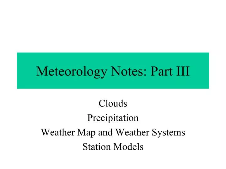
Meteorology Notes: Part III. Clouds Precipitation Weather Map and Weather Systems Station Models. Ingredients Needed for Cloud Formation. Air at saturation (100% relative humidity or the dew point) Cloud Condensation Nuclei (bits of microscopic dust and dirt).

E N D
Meteorology Notes: Part III Clouds Precipitation Weather Map and Weather Systems Station Models
Ingredients Needed for Cloud Formation • Air at saturation (100% relative humidity or the dew point) • Cloud Condensation Nuclei (bits of microscopic dust and dirt)
Warmer air can hold MORE water vapor • The amount of water vapor that can be held by air depends on the temperature. Condensation occurs at 100% relative humidity • Points A 1-5 are all at 100% relative humidity. B3 is 80%, C3 is 33%, M is 50%. • For air at temperature and humidity of B3, C3 and M to reach saturation (100% relative humidity) it must either • ADD WATER VAPOR OR • BE COOLED HUMIDITY, PRECIPITATION AND CLOUDS The rate of increase is EXPONENTIAL (it increases by a factor of 3 every 10°C)
How Can We Cool Air • AIR COOLING occurs by: • Contact with cold surface (Forms fog – a “ground cloud” • Lifting of air up through the atmosphere (Forms what we generally call “clouds”
1. Contact with Cold Surface Ground level condensation may also occur when stationary air is cooled by a ground surface that cools, usually overnight. Cooling is fastest when no cloud cover exists to reflect outgoing long-wave terrestrial radiation Cold surfaces are common in mountains, where snow reflects solar radiation and remains cold, cooling air in contact with the ground.
“Parcel” of Air 4. Cloud formation continues as high as air rises. When air stops rising, cloud development stops. The more uplift, the taller and deeper the clouds CLOUD TOP 2. Uplift - How Clouds Form 3. Relative humidity reaches 100% (saturation) at dew point temperature. Water vapor starts to condense on particles above this level - cloud base level. This level is called the lifted condensation level, or in other words, the cloud base. CLOUD CLOUD BASE 2. Rising air expands with less pressure at altitude. This causes cooling, which causes relative humidity to rise. Air continues to rise as long as it is forced upwards, or if it has a higher temperature than the surrounding air. **Read this slide from the bottom to the top** 1. Air at ground level is forced to rise.
UPLIFT CONTINUES The size and shape of clouds depends entirely on the stability of the air. Stability is the ability of air to resist rising. An unstable atmosphere produces deep, puffy clouds. A stable atmosphere produces shallow, flat clouds. Cloud Formation and Stability LIMITED UPLIFT CAUSES SHALLOW CLOUDS CLOUD BASE at CONDENSATION LEVEL Here, uplift is so strong that the cloud is very deep, and rainfall occurs.
SNOWDONIA Westerly winds blow humid air onshore from the Atlantic Ocean Air sinks down on leeside of high land, contracts due to denser air, warms up, relative humidity falls and rainfall diminishes. WHY AIR RISES (1) – Orographic Lifting Cloud development stops when air is no longer forced up. Condensation level Orographic Lifting – When air is lifted by encountering higher ground and having no where to go but up.
Condensation level Air meets air equally warm, stops rising, descends WHY AIR RISES (2) - CONVECTION Solar radiation heats up ground surface LCL Air warms by contact with warm ground surface, becomes less dense and rises Rising air expands, cools, relative humidity rises until condensation of water vapour occurs above condensation level. WHY AIR RISES (3) - FRONTAL Rising air expands, cools and relative humidity rises until it reaches 100% (saturation) at condensation level above which clouds form as water vapour condenses on particles. Cooler, denser air sinks downwards and forces lighter, warmer air to rise Warmer, lighter air is forced to rise by denser cooler air.
Naming Clouds - Cloud Types Clouds are named by their height and their shape. The four basic types of clouds based on shape are cirrus, cumulus, stratus, and nimbus. By adding a prefix to some of these basic cloud types you can also specify the height.
Precipitation Not all clouds produce precipitaiton • Definition: All solid and liquid forms of water that fall from clouds • To produce precipitation, cloud droplets need to fall • -Coalescence occurs when cloud droplets stick together and grow to form larger droplets • -Once droplets are too large to be held in the air by gravity, they fall producing precipitation
-Different types of precipitation are produced by different conditions at cloud level and the temperature changes on the way down. Sleet Snow
Sleet is rain that froze before it hit the ground Freezing Rain freezes on contact and coats everything Freezing Rain Regular Rain occurs when it is above freezing
How to Read and Understand the Weather Map H=High Pressure L=Low Pressure Cold Front Warm Front Occluded Front Lines are Isobars
Fronts • When two air masses collide there is a narrow region separating the two masses called a front. • Types of Fronts 1. Cold Front 2. Warm Front 3. Occluded Front 4. Stationary Front
Cold Front • Advancing cold air displaces warm air along a steep boundary • Characterized by a thin line of heavy to moderate precipitaion • Cold fronts are represented by a blue line with triangles.
Warm Front • Advancing warm air displaces cold air in a slow and gradual slope. • Characterized by extensive cloudiness and precipitation. • Why? • Represented by red lines with half circles.
When two air masses meet and neither advances into the other territory the boundary between the two masses is said to have stalled. Characterized by small temp. and pressure difference between the masses. Blue line with triangles and red half circles. Stationary Front
When cold air moves rapidly and overtakes the warm front. The cold air wedges the warm air upward and it is squeezed upward between two cold fronts. Represented by alternating purple triangles and half circles. Occluded Front