Download
1 / 21
210 likes | 324 Views
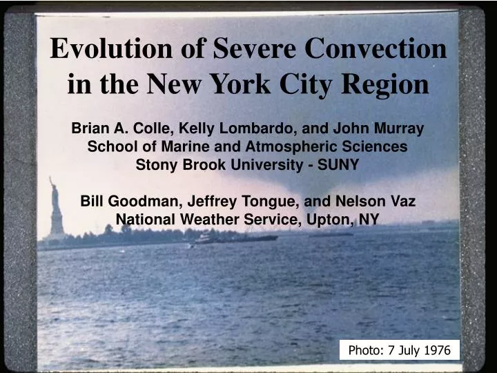
Evolution of Severe Convection in the New York City Region. Brian A. Colle, Kelly Lombardo, and John Murray School of Marine and Atmospheric Sciences Stony Brook University - SUNY Bill Goodman, Jeffrey Tongue, and Nelson Vaz National Weather Service, Upton, NY. Photo: 7 July 1976.

E N D
Evolution of Severe Convection in the New York City Region Brian A. Colle, Kelly Lombardo, and John Murray School of Marine and Atmospheric Sciences Stony Brook University - SUNY Bill Goodman, Jeffrey Tongue, and Nelson Vaz National Weather Service, Upton, NY Photo: 7 July 1976
What are large-scale conditions favoring severe (tornadic) convective weather? • How does convection evolve in this coastal urban environment? • Importance of Mesonet and radars (TDWRs). *
Tornado climo Sharp Gradient in Severe Convection Near Coast NOWRAD Refl > 45 dBZ counts (1996-2007) for Severe Weather Days for Boxed region Tornado Tracks (1950-2006) * * Source: SPC
Tornado Climatology for NYC and Long Island (1950-2007 – 32 events) Hourly Distribution Monthly Distribution
New York Daily News 1 2 * * * 8 August 2007 NYCEF2 Tornado 1022-1050 UTC (0622-0650 EDT) * * * * * Brooklyn Staten Is.
0600 UTC 7 August 2007 X RUC 950 mb Winds, potential temps, and frontogenesis K/100km/3hr *10-1
3: 1300Z 8/7 August 7-8 2007 Storm Reports 4 0600Z 8/7 4: 1600Z 8/7 2 6 7 1 3 1000Z 8/8 1300Z 8/7 5: 2300Z 8/7 6: 0600Z 8/8 7:1000Z 8/8
1500 UTC 7 August 2007 700 mb Q-vector (shaded = convergence) RUC 950 winds, theta, Frontogenesis Convection over W PA weakens as it moves into a region of subsidence and weak frontogenetical forcing K/100km/3hr *10-1
0300 UTC 8 August 2007 950 winds, theta, Frontogenesis 700 mb Q-vector Frontogenetical forcing and QG ascent increases during the evening hours over PA K/100km/3hr *10-1
0700 UTC 0930 UTC 0900 UTC 0800 UTC Surface 06 UTC 8 Aug KDIX dBZ (06 Z 8 Aug) 07 L * L 08 DIX 26 24 25 26 28 09
Surface 10 UTC 8 Aug KDIX dBZ (10 Z 8 Aug) 23 05 06 * 24 DIX * 24 L 09 07 08 25 27
Newark, NJ (EWR) ACARS 1500 J/kg 0830 UTC 8 Aug 0500 UTC 8 Aug RUC 0300 UTC vs 0900 UTC 03Z 03Z
RUC Max CAPE (lowest 180 mb), 925 mb V, ThetaE 0000 UTC 8 Aug 0600 UTC 8 Aug 0900 UTC 8 Aug * * * • Increase in CAPE along the coast and development of a low-level jet.
Evolution From Staten Is. To Brooklyn JFK TDWR 1028 UTC DIX 88-D 1026 UTC *
Vortex Evolution: TJFK (storm rel vel) 2 1 * * * * * * * * * • Tornado develops on north shore of Staten Island, weakens as it crosses Staten Island, and new one develops to NE strengthens after vortex merger and landfall at Brooklyn. * Radar Meso * EF 0-1 * EF2
TJFK 1020Z-1029Z SRV • Intensifying tornadic circulation moves across northern Staten Island • Aliasing in SRV couplet at 1022Z - intense tornadic winds? • First tornado weakens/dissipates over Tompkinsville, then a second tornado develops near the northeast tip of Staten Island by 1027Z and crosses the Narrows toward Brooklyn
TJFK 1030Z-1041Z SRV • Tornado causes EF-2 damage as it moves across Bay Ridge, Kensington, and Flatbush sections of Brooklyn • More aliasing in SRV couplet indicative of intense tornadic winds
Benefit of TDWR Radar TJFK 1030 UTC DIX 88-D 1030 UTC
Composite of 18 LI/NYC Tornado Events (1979-2007) Using NARR (32-km) * 300 mb WindSpeed, 700-mb Z and omega
Composite of 18 Events (1979-2007)1000-mb Z, thetaE, V; sfc CAPE *
Summary • NYC-Long Island tornadoes are most frequent during late summer (August) and can occur from early AM to early evening (1000-0000 UTC). • 7-8 August 2007 NYC tornado event had origins as a MCS over the Plains 30 h earlier along a W-E baroclinic zone. • Convection intensified in a region of large frontogenetical forcing, a nose of higher thetaE along the coast, and development of a LLJ. • Elevated mixed layer and the subsequent diabatic cooling from precipitation was likely important in destabilizing low levels. • There was rapid vortex evolution around Staten Island. (Role of the hills and land-water gradients??)