Download
1 / 22
220 likes | 225 Views
Explore the concepts of rivers, ponds, lakes, and groundwater, and how they are utilized by humans. Learn about watersheds, eutrophication, and the formation and change of lakes.

E N D
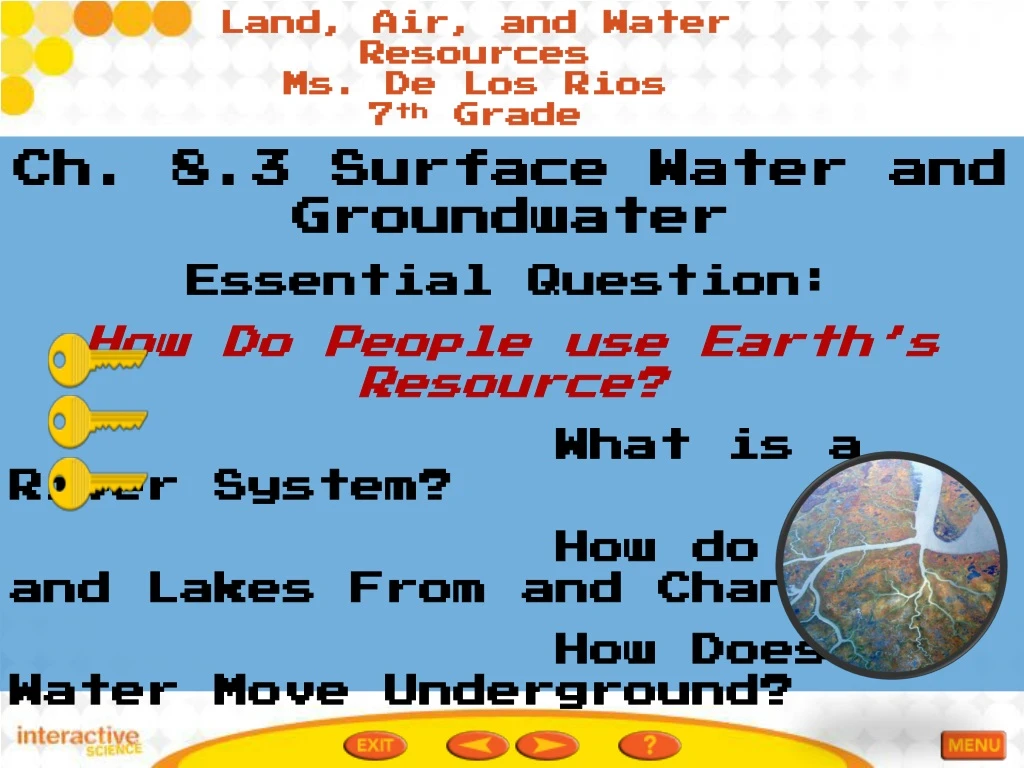
Land, Air, and Water Resources Ms. De Los Rios 7th Grade Ch. 8.3 Surface Water and Groundwater Essential Question: How Do People use Earth’s Resource? What is a River System? How do Ponds and Lakes From and Change? How Does Water Move Underground? Surface Water and Groundwater Pg. 270-279
Resources • Pearson art in action • Braipop Groundwater • Brainpop Water Supply • Eutrophication youtube
Vocabulary • Tributary-a stream or river that flows into a larger river. • Watershed-the land area that supplies water to a river system. • Reservoir-a lake that stores water for human use. • Eutrophication-the buildup over time of nutrients in freshwater lakes and ponds that leads to an increase in the growth of algae. • Permeable-characteristic of a material that contains connected air spaces, or pores, that water can seep through easily. • Impermeable-a characteristic of materials, such as clay and granite, through which water does NOT easily pass. • Unsaturated Zone- the layer of rocks and soil above the water table in which the pores contain air as well as water. • Saturated Zone- the area of permeable rock or soil in which the cracks and pores are totally filled with water. • Water Table- the top of the saturated zone, or depth to the groundwater under Earth’ surface. • Aquifer- an underground layer of rock or sediment that holds water. • Artesian well- a well in which water rises because of pressure within the aquifer
Eutrophication-the buildup over time of nutrients in freshwater lakes and ponds that leads to an increase in the growth of algae.
Watershed-the land area that supplies water to a river system.
Unsaturated Zone- the layer of rocks and soil above the water table in which the pores contain air as well as water.
What is a River System? Pg. 271 • The streams and smaller rivers that feed into a main river are tributaries. • Tributaries flow toward the main riverbecause they are pulled by the force of gravity. • A river and all the streams and smaller rivers that flow into it together make up a river system.
Fig. 1 Surface Water and Groundwater pg. 271 • River System • The lower Suwannee River flows past Gainesville, Florida, and empties into the Gulf of Mexico. • Circle a river system on the map
What is a River System? Pg. 272 • The land area that supplies water to a river system is a watershed, or drainage basin. • One watershed is separated from another by a ridge of land called a divide. The streams on each side of a divide flow in different directions.
Fig. 2 Surface Water and Groundwater pg. 272 • Major Watersheds of the United States • The land area that supplies water to a river system is called a watershed. • Draw the path that water would take from the Platte River’s source to the ocean. • Which watersheds would the water pass through? • ________________________________________________________________________________________________________________________ • Assess your Und.
How Do Ponds and Lakes Form and Change? Pg. 273 • Ponds and lakes form when water collects in hollows and in low-lying areas of land. • Unlike rivers, ponds and lakes contain still or standing water. • Sunlight reaches to the bottom of all parts of a pond, but most lakes have some bottom areas that are too deep for much sunlight to reach them.
How Do Ponds and Lakes Form and Change? Pg. 273 • Lakes can form when a river bends as it encounters obstacles. • A new channel forms that cuts off the bend. • The cut-off bend becomes an oxbow lake. • Some lakes formed from depressions created by ice sheets that melted at the end of the Ice Age. • Others were created by movements of Earth’s crust that formed long deep rift valleys. • Lakes can form when a volcano blocks a river and they can form in the empty craters of volcanoes.
Apply it!! Surface Water and Groundwater pg. 273 What are Ponds and Lakes? Complete the Venn diagram to compare and contrast characteristics of lakes and ponds. Based on your answers, write an operational definition for lake.________________________________________________________________________________________________________________________
Lake Formation Pg. 274 • In Florida, many lakes have formed in natural depressions called sinkholes. People can also create a lake by building a dam. A lake that stores water for human use is a reservoir. • If you watch a lake or pond over many years, you will see it change. In time, the lake may shrink and become shallower. • Natural processes and human activities can cause lakes to disappear.
Eutrophication. Pg. 275 • What can cause lakes to disappear? • Natural processes and human activities • When lake organisms die, bacteria break down their bodies and release nutrients into the water. Over time, nutrients can build up in a lake in a process called eutrophication. • Algae use the plentiful nutrients and grow into a thick layer that blocks sunlight form reaching lake plants. • The lake plants die and the animals that eat them die as well. • Decaying material piles up and the lake becomes shallower and eventually fills in.
EutrophicationPg. 275 • Human activities can cause eutrophication.Fertilizer in runoff from farmlands contains nutrients that increase eutrophication when the runoff enters pond and lakes.
Fig. 4 Surface Water and Groundwaterpg. 275 Eutrophication Write a caption for each diagram to explain the changes that occur during eutrophication? Assess your Und.
How Does Water Move Underwater? Pg. 276 • Underground water generally comes from precipitation, which soaks into the ground. • Water underground trickles down between particles of soil and through cracks and spaces in layers of rock. • Because they have large and connected pores, materials such as sand and gravelallow water to pass through, or permeate and are called permeablematerials. • Other materials, such as clay have few or no pores or cracks or the pores are very small.These materials are less permeable than sand. Granite is impermeable, meaning that water cannot pass through easily.
Water Zones pg. 277 • The top layers of rock and soil contain air as well as water and are called the unsaturated zone. • At some depth the water reaches the saturated zone, a level where the pores in the ground are saturated with water. • The top of the saturated zone is called the water table. The saturated zone reaches deep into the Earth even though the rock becomes less permeable the deeper you go. • Do the Math!
Fig. 6 Surface Water and Groundwater pg. 278 R. Pg 278/9 Springs and Wells Suppose you are a farmer looking for water sources. Draw lines showing where you would drill a regular well and artisian well. Explain why you chose those locations. ________________________________________________________________________________________________________________________________________________________________________________________________ Assess your Understanding.