Download
1 / 18
180 likes | 278 Views
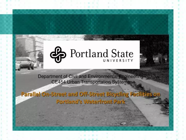
Department of Civil and Environmental Engineering CE454 Urban Transportation Systems Parallel On-Street and Off-Street Bicycling Facilities on Portland’s Waterfront Park. Portland’s Waterfront: Harbor Drive (1942 – 1975). The 1975 Waterfront Park Master Plan

E N D
Department of Civil and Environmental Engineering CE454 Urban Transportation Systems Parallel On-Street and Off-Street Bicycling Facilities on Portland’s Waterfront Park
Portland’s Waterfront: Harbor Drive (1942 – 1975) The 1975 Waterfront Park Master Plan By:Wolff Zimmer Gunsel Frasca (WZGF). Looking North on Harbor Drive at SW Pine St. Six-lane Harbor Drive at the river’s edge, 1958. Image Source: Portland : Waterfront Park master plan
Time Line • 1850s Front Avenue starts to serve the growing city • 1942 Seawall constructed and Harbor Drive opens • 1975 Harbor Drive demolished • 1978 Waterfront Park dedicated • 1996 Front Avenue renamed Naito Parkway • 2003 Portland Parks and Recreation publishes the Waterfront Park Master Plan to improve usability • 2007 Improvements to Waterfront Park completed • Bike lanes added to NW Naito Parkway • 2010 Improvements to increase cyclist safety on Naito Parkway
Waterfront Park: • A 25-ft-wide, mixed-use concrete walkway running between the Central Lawn and the Willamette River • Access Points: • Hawthorne Bridge and Steel Bridge Access Ramp • SW Salmon St. • SW Pine St. • NW Couch St. • NW Davis St. • Naito Parkway: • Major thoroughfare running the entire length of downtown between the city and Waterfront Park providing access to the downtown core. • Capacity of more than 30,000 veh/day • A posted speed limit of 30 MPH. • Two, well-marked, 5-foot bike lanes were installed on the street in May 2007. • Bike lanes run from NW Davis St. to SW Salmon St., through 8 stop lights • A main bicycle route connecting SE Portland and NW Portland to downtown. Focus Areas
Hypothesis • Waterfront Park is not well suited for commuter bike use because of interference from other users, such as walkers and runners. • Commuters will desire to travel at higher speeds which will lead to them choosing Naito Parkway • Recreational cyclists will primarily use Waterfront Park • The peak traffic flow on Naito will most likely be between 8:00am-10:00am and 4:00pm-6:00pm. • Peak traffic flow in Waterfront Park will be between 11:00am and 1:00pm with the highest use occurring on weekends.
Methodology • Scope • Distinguish between the users of Naito Parkway and Waterfront Park • Determine a method of data collection that will provide the most useful data • Collect and analyze this data • Compare the results of the two routes • Implementation • Data Sheet • Collecting Data • Waterfront Park Locations: • North of Hawthorne Bridge at Salmon St. • South of Steel Bridge at NW Couch St. • Naito Parkway Locations: • NE Davis St. • SW Pine St. • SW Salmon St ?
Questions To Be Answered • What are the Flow Characteristics of the Pathways? • How Safe do the Riders Feel? • What Type of Rider is Where and When? • Do Bicyclists Hinder the Flow of Traffic on Naito? • What Type of Interactions do Bicyclists Have with Other Modes of Transportation on the Parkway? • What Types of Transitions are There Between the Two Routes? • What is the Current Overall Usage of Both Routes in Both Directions? • Does the Current Usage Justify Any Improvements of the Physical Route? • What Improvements Can be Made and Why?
Results Table 1 - Comparison of averaged flow rates [bicycles/hour] on Naito Parkway and in the Park
Results Table 2 - Comparison of Travel time for Male and Female Riders on Naito Parkway and Waterfront Park.
Trends in Riders • Road bicycles were the most common on both routes. • Casual dress was the most common on both routes. • Bags were carried most frequently. • Helmets were worn by majority of riders. • Age had the greatest percentages in the 30 to 50 year old range.* • Commuters dominated the bicycle contingent. • More Male riders on both paths, however in different ratios. • More north bound riders on Naito, and South bound in park.
What Type of Rider is Where and When? • What were the bicyclists doing? • Majority were Commuting • Some Sport Riders • Surprisingly, Leisure riders were observed on both routes. Work • Where were the bicyclists going? • Home and Work • Bridges into downtown. • Enjoying the waterfront.
What Type of Interactions do Bicyclists Have When Using Waterfront Park? • Pedestrians • Joggers • Skateboards • Miscellaneous
Proving Our Hypothesis • “Waterfront Park is Not Well Suited for Cyclist Commuters” • “Commuters will prefer Naito for ability of Greater Speed and elimination of weaving through crowds” • Opposite is True • More Commuters in Waterfront Park • More Leisure Riders on Naito Parkway • How Safe do the Riders Feel? • Few People Surveyed Generally Feel Safe
Proving Our Hypothesis “Peak Flow Will be from 4:00 – 6:00pm on Naito” “Peak Flow Will be from 11:00 am in Park” Our Own Dan Klein Donating His Time and Lung Capacity for Our Time Trial Investigation
Do Improvements Need to Be Made? • Depends: • What is the Intention of Each Facility? • Should Commuters be Allowed in the Park? • Future Plans? • Recommendations: • Split Path - Venice Beach • Bike Only Path in Park - Amsterdam • North Bound on Naito - “Roll Through Red” • Others? THESE PHOTOS WERE TAKEN FROM THE WEB AND VIEWED AS PUBLIC DOMAIN