Download
1 / 9
100 likes | 264 Views
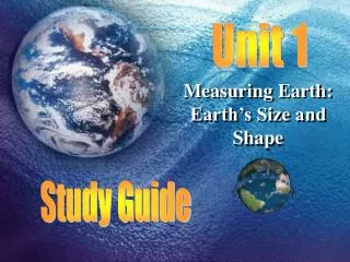
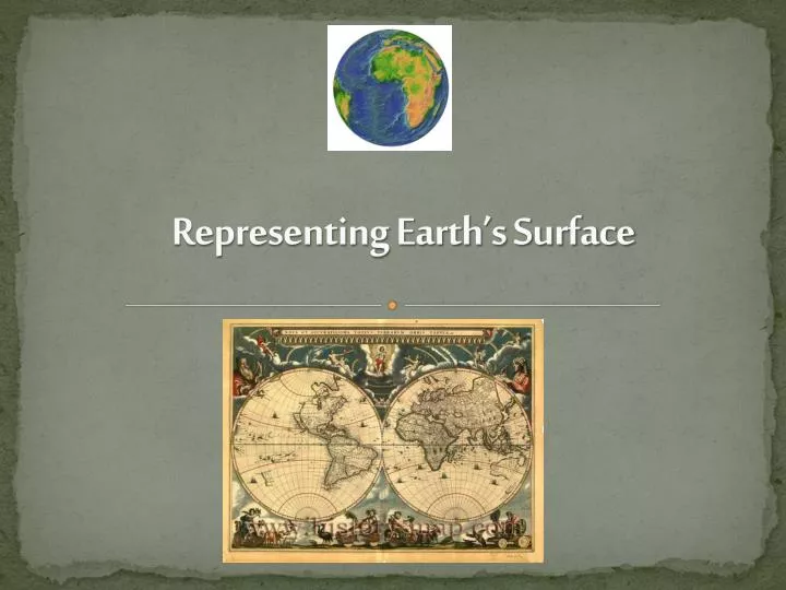
Representing Earth’s Surface. Global Grid. Two measurements are used to describe locations around the world. Latitude : distance north or south of the equator Longitude : distance east or west of the prime meridian . Earth Measured in degrees . Just like a circle the earth has 360 degrees

E N D
Global Grid • Two measurements are used to describe locations around the world. • Latitude: distance north or south of the equator • Longitude: distance east or west of the prime meridian
Earth Measured in degrees • Just like a circle the earth has 360 degrees • Lines of latitude are east-west lines around the globe • Lines of longitude are north-south lines around the globe • The equator and prime meridian are 0° • Expressed as degrees east or west & north or south Pair share: what is the latitude and longitude of the X? x
Mapping: flattening the Earth • Maps distort the earth: making some areas too big or small • 4 types of map shapes / styles of maps for different purposes
Mercator Map • Developed in 1569 to help sailors travel the globe • Distorts the size and shape • Accurate directions Pair share: what do you notice about the grid boxes in this map?
Robinson Projection Map • Shows distance, size and shape accurately • Distortions around the edges
Conic Projection Map • Used for road and weather map • accurate over a small area • Distorted over a larger area
Gnomonic Projection Maps • Made by placing a piece of paper on a single point on the globe’s surface • Distance and direction are distorted, but used by sailors over short distances.
White board Review • How many degrees are used to measure the Earth? • What 2 places are zero degrees on the globe? • Name 2 problems with making accurate maps?