Download
1 / 9
90 likes | 213 Views
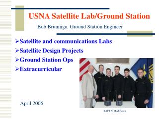
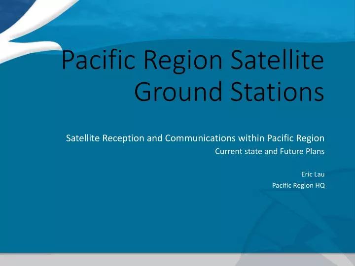
Pacific Region Satellite Ground Stations. Satellite Reception and Communications within Pacific Region Current state and Future Plans Eric Lau Pacific Region HQ. Pacific Region NWS. Satellite Farm at Pacific Tsunami Warning Center (PTWC). OPSnet VSAT. NWWS. IRIS VSAT. EMWIN. MTSAT.

E N D
Pacific Region Satellite Ground Stations Satellite Reception and Communications within Pacific Region Current state and Future Plans Eric Lau Pacific Region HQ
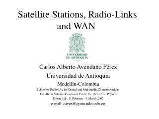
Satellite Farm at Pacific Tsunami Warning Center(PTWC) OPSnet VSAT NWWS IRIS VSAT EMWIN MTSAT GOES NOAAPORT SBN SPARE HRPT Satellite Dish- Diameter NOAA Weather Wire Service – 14 feet OPSnet VSAT – 4 feet EMWIN – 5 feet MTSAT/SPARE – 15 feet GOES – 12 feet IRIS VSAT – 15 feet NOAAPORT SBN – 24 feet HRPT – Polar Tracking – 5 feet in Radome
Honolulu Community College Orbital Systems 2.4 meter X/L band Polar Tracking Suomi NPP VIIRS Aqua Terra NOAA POES METOP Feng Yun
Data Transport -- Island of Oahu National Weather Service Pacific Region satellite feed are located on the south side of the Island of Oahu, Hawaii. The Pacific Tsunami Warning Center (PTWC) houses the AWIPS SBN antenna and the AWIPS communications processors (CPSBN) for each office are located. Also, the supplemental satellite data from GOES, MTSAT and HRPT. • Dedicated Point-to-Point T-1 lines connecting each office with AWIPS from PTWC. • (2) T1 to WFO Honolulu • (2) T1 to Pacific Region HQ • (1) T1 to WFO Guam. ** • Pacific Region Metropolitan Area Network (PACMAN) • GOES/MTSAT/HRPT is received, processed and sent via PACMAN to HFO and PRH. • 10 Mbps links. ** Note that only one (1) T1 feeds the AWIPS for WFO Guam, which is nearly 4000 miles from the PTWC. WFO Guam and WFO Honolulu share MTSAT data to each other for high availability of satellite data.
Pacific Region Satellite Comms GUM Dedicated T1 PTWC AWIPS OPSnet HFO PACMAN Sat Internet2 NWAVE IRC HCC LX
Daniel K. Inouye Regional Center (IRC) • NWS Integrated Dissemination Program – Ground Readiness Project • Working with NWS IDP-GRP on the future of satellite reception and capabilities. • Himawari CTS and GOES-R GRB will be installed on the roof of IRC depending on the national schedule. • LX Band Polar Orbiting receive station will also be installed a top IRC, but it will require modifications to the building due to structural integrity.
Conclusion • Operations for satellite ground stations will transition to IRC when hardware specifications are available and procured by the GRP. • GRP to fund and install new satellite receive station for Himawari (~January-March 2015) • GRP to fund and install new satellite receive station for GOES-R • IDP to drastically increase bandwidth for OCONUS. “Build it big with options to go bigger” • AWIPS SBN successfully installed at IRC May 2014. • Initial thoughts and questions? Thank You.