Download
1 / 28
280 likes | 395 Views
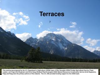
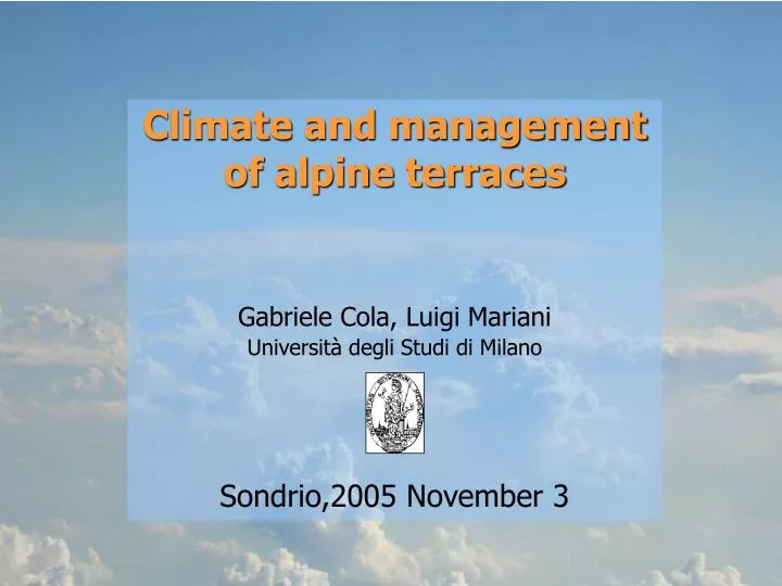
Climate and management of alpine terraces Gabriele Cola, Luigi Mariani Università degli Studi di Milano Sondrio,2005 November 3. Speech resumé. Aim : meso and microclimatic characterisation of alpine terraces of Sondrio province. micro: Pianazzola (Vabregaglia)

E N D
Climate and management of alpine terraces Gabriele Cola, Luigi Mariani Università degli Studi di Milano Sondrio,2005 November 3
Speech resumé Aim: meso and microclimatic characterisation of alpine terraces of Sondrio province. • micro: Pianazzola (Vabregaglia) • micro/meso: Valtellina terraces with vineyards 1) Material and methods - data sources - algorithms 2) Climatology - Some comments on time series - Spatial analisys -> - Thermal and Radiative resources - Water resources (water balance)
Sources of climatic data - Servizio Idrografico (thermo-pluviometric network) - Arpa (meteorological network) - Centro Fojanini (agrometeorological network) - Ersaf (agrometeorological network) - Servizio Meteo dell’Aeronautica (synoptic network) - MeteoSvizzera (synoptic network – GTS)
Weather stations – some data Rainfall stations – Altitudinal distribution Time period for data collection : 1951-2004 Variables: Max/min temperatures (24 stations), Rainfall (49 stations) Analyzed data : 31752 monthly data (usually derived from daily data)
Spatial variability – Yearly altitudinal gradients max T (1971-2000 - mean) min T (1971-2000 - mean)
Spatial variability – Yearlyaltitudinal gradients precipitation (1971-2000 - mean)
Spatial variability – Yearly altitudinal gradients used for temperature data homogenization
TIME VARIABILITY Yearly mean temperature and rainfall from the selected area Algorithm: library STRUCCHANGE (R language -Zeileis et al., 2003). TEMPERATURE PRECIPITATION
SIMULTANEOUS RAINFALL AND TEMPERATURE BREAKPOINT: MIDDLE ‘80 This breakpoint coincides with an abrupt change in macroscale Atlantic circulation After this breakpoint : • Higher temperatures • Higher evapotranspirational losses • Lower rainfall Aridity increase
Reference period for data processing: 1971-2000 1. This period is the reference WMO normal for present climate 2. This choice could be incoherent considering the middle ’80 breakpoint 3. On the other hand the adoption of 1981-2000 period was problematic due to the sensible reduction of the number of stations in the dataset
DTM adopted for geostatistical analysis DTM : 20 x 20 m -> 3255 x 3493 = 11.369.715 cells -> sources: - Lombardia region dtm (20x20 m pixels) - SRTM dtm - Space Shuttle Radar Topography Mission (90x90 m pixels)
January June Monthly data spatialization: Ordinary kriging Drawn isolines: 500-1000-2000 m MONTHLY PRECIPITATION (mm) – 1971-2000 45 52 59 66 72 79 98 110 122 134 146 158
January – min T June – max T Monthly data spatialization: Ordinary kriging Drawn isolines: 500-1000-2000 m MONTHLY TEMPERATURES (°C) – 1971-2000 6 11 16 21 26 -22 -16 10 -4 1
WATER BALANCE Water availability for vineyards is evaluated by means of water balance model with monthly step Parameterisations for the model 1 - Maximum easily available water content: 45 mm 2 - Soil at field capacity at the beginning of the year 3 - Infiltration of the whole water excess 4 - Runoff – Natural Approach and Terrace approach 5 - Absence of water tables 6 - ET for reference crop calculated with Penman -Monteith equation (FAO irrigation paper n° 56) (assumptions: wind velocity = 2 m/s; relative humidity = 60% ) 7 - Crop coefficients adopted: jan=0.2; feb=0.2; mar=0.2; apr=0.6; maj=0.8; jun=0.95; jul=0.95; aug=0.95; sep=0.95; oct=0.95; nov=0.38; dec=0.2
RUNOFF TWO DIFFERENT APPROACHES: 1 – “Natural landscape” approach - water balance referred to territory without terraces obtained estimating runoff with a rational method Runoff%=ci_slope+ci_infil+ci_cover+ci_storage where ci_slope is the slope coefficient obtained with a logaritmic equation (Ci_slope=0.0797*ln(slope)+0.0128) and other coefficients are function of class of soil infiltration, vegetation cover and surface storage. 2 - ”Terraces” approach - water balance referred to terraces obtained applying a constant monthly runoff of 10%
Natural landscape approach Terraces approach Reservoir: 45 mm EMPTY WATER CONTENT – 1° DAY 0 20 40 60 80 100 120 140 160 180 200 220 0 20 40 60 80 100 120 140 160 180 200 220
Evaluation of climate of Pianazzola terraces • Aim: define the agricultural vocation of Pianazzola terraces by means of resources and limitations analysis (match with Valtellina vineyards terraces – Denomination of origin zone - DOC area) • Resources: • Radiation (PPAR) • Temperature (Thermal Units – Winkler degree-days) • Water (Precipitation, ET -> water balance) • Limitations: • Radiation (PPAR) • Temperature (Frost, etc…) • Water (water balance, easily available water content • empty )
NEVER EMPTY EMPTY IN DOCG AREA EMPTY WATER CONTENT – 1° DAY
Both Pianazzola terraces and Valtellina DOCG area (premium quality denomination of guaranteed origin zone) show: a good level of thermal resources (GDDW: 1100 -1800) a good level of radiative resources (PPAR: 2700 – 3200 MJ m-2 y-1) low risk of thermal limitations (not discussed) Pianazzola shows a significant water limitationdue to water excess (the easily available water content never ends). On the other side the premium DOC Valtellina terraces ends the easily available water content after the second half of July -> this event stands as a quality enhancer for the premium DOC area This is probably one of the main reasons that justify the higher suitability of Valtellina DOCG area for production of high quality wine. This aspect is particularly important in years with “summer Atlantic weather” (high precipitation levels) CONCLUSIONS