Download
1 / 19
190 likes | 302 Views
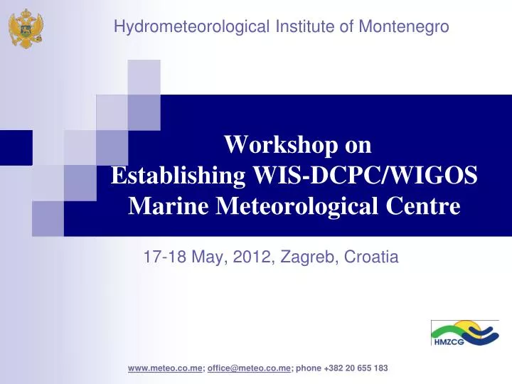
Hydrometeorological Institute of Montenegro. Workshop on Establishing WIS-DCPC/WIGOS Marine Meteorological Centre . 17-18 May, 2012, Zagreb, Croatia. HMI of Montenegro is a government body, under the competence of the Ministry of Sustainable development and Tourism

E N D
Hydrometeorological Institute of Montenegro Workshop on Establishing WIS-DCPC/WIGOS Marine Meteorological Centre 17-18 May, 2012, Zagreb, Croatia www.meteo.co.me; office@meteo.co.me; phone +382 20 655 183
www.meteo.co.me; office@meteo.co.me HMI of Montenegro is a government body, under the competence of the Ministry of Sustainable development and Tourism Work of HMI is determined through Law on hydrometeorological services Law on hydrographic services (Off.gazz. Of Montenegro, No.26/10)
Hydrometeorological Institute of Montenegro is founded in1947. www.meteo.co.me; office@meteo.co.me
Different HMI sectors have activities related to the sea: www.meteo.co.me. office@meteo.co.me Sector of meteorological observations network / weather parameters Sector for analysis of water quality / physico-chemical and microbiological analysis of bathing and coastal waters Sector of hydrography and oceanography / bathymetric surveys, production of navigation charts, register of lights…. IT sector / forecast of wave altitude, direction and period
HMI is following the developments in technology and trying to modernize as much as possible all Sectors and train the personal Lack of funds and understanding are often the reasons of our inability to fulfill or our aims www.hmz.gov.me; office@meteo.co.me
Automatic observations and data acquisition www.hmz.gov.me; office@meteo.co.me
Main meteorological stations (on the coast: Herceg Novi, Ulcinj and Bar) are equipped with sensors for:- temperature and relative humidity- wind direction and velocity - global solar radiation- precipitation quantity - atmospheric pressure - soil temperature on 5 depth Visual observations: - cloudiness - horizontal visibility - kind of hydrometeor (rain, snow, hail....) - soil state and phenological observations.
Weather forecast of HMI is constantly transmitted through coastal radio station “BARRADIO“ (VHF ch16/24), as ’’Weather report’’ in precise UTC time Additionally, Croatian and Italian coastal radio stations can be heard in the Adriatic. www.meteo.co.me; office@meteo.co.me
Forecast for port of BarTides www.meteo.co.me; office@meteo.co.me
In HMI are in operative use several models: - Eta - NMM-HIRES - WRF-NMM model Initial and side conditions are provided by GFS from NCEP - Washington (USA) and European Center for medium-range forecast ECMWF . www.hmz.gov.me; office@meteo.co.me
www.meteo.co.me; office@meteo.co.me WAM model is installed in HMI for the area of Mediterranean (50km resolution), central and eastern Mediterranean (25km resolution), region of Adriatic sea and wider area of Montenegro for meso-scale (12 and 6 km). Main products of wave model are: - significant altitude of waves - dominant waves direction - period of maximal waves - dominant direction of wind generate waves - spectrum of waves energy in discrete points (Bar, H.Novi….)
Wave model WAVE ALTITUDE AND DIRECTION WAVE PERIOD www.hmz.gov.me; office@meteo.co.me
www.meteo.co.me; office@meteo.co.me Total waters under the Montenegro jurisdiction for navigation is 6 577 km2 (sea- 6 350 km2 and Skadar Lake- 227 km2) • This aquatoria is bounded with a coastal line of total length of 434 km (sea coast - 284 km and Skadar Lake – 150 km)
Hydrographic service of Montenegro is faced with lots of work on realization of these aims, and membership in IHO will for sure make it easier. • Montenegro has recently became a member of IHO (April 2012.) www.meteo.co.me; office@meteo.co.me
Hydrographic and oceanographic surveys in HMI • Hydrographic/navigation software 2010 is enabling the realization of complete project: • Planning of the observation profile, • Defining the measurements, • Organizing the equipment in adequate configuration (defined comunication of certain sensors), • Realization of surveys, and data aquistion • Data processing. www.hmz.gov.me; office@meteo.co.me
HMI´s navigation vessels • BH-12 for the open sea • ČH-1 for Boka-kotorska Bay and ports and marinas • Small boat for limited area in the ports www.meteo.co.me; office@meteo.co.me
HMI has using these capacities till now done numerous surveys on the sea, inland navigation paths and numerous ports and marinas, and have produced a Navigation chart of Boka Kotorska Bay • (R 1:25 000) www.hmz.gov.me; office@meteo.co.me
IPA Cross-Border ProgrammeCroatia / Montenegro “Joint Promotion and Increased Level of Safety of Nautical Tourism in Dubrovnik-Neretva County and Montenegrin Coast “ www.meteo.co.me; office@meteo.co.me Hydrographic Institute of Republic of Croatia / leading partner Project started in January of 2011. and HMI has through project implementation significantly improved its technical and human capacities.
Thank You for Your attention !!! ivana.pavicevic@meteo.co.me