Download
1 / 27
270 likes | 410 Views
Asia & The Pacific. Physical Features. Uluru. Formerly called “Ayer’s Rock” Immense monolith in the middle of the red, sandy plains of Australia’s outback 1,142 ft. high 5.8 miles around Sacred site to the Aboriginal people, one of the oldest societies on Earth. Uluru. Great Barrier Reef.

E N D
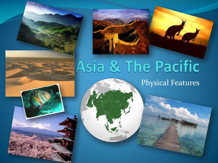
Asia & The Pacific Physical Features
Uluru Formerly called “Ayer’s Rock” Immense monolith in the middle of the red, sandy plains of Australia’s outback 1,142 ft. high 5.8 miles around Sacred site to the Aboriginal people, one of the oldest societies on Earth
Great Barrier Reef “Comprised of over 3,000 individual reef systems and coral cays with literally hundreds of picturesque tropical islands” One of the Seven Wonders of the Natural World Larger than the Great Wall of China Only living thing on Earth visible from space
Great Dividing Range • Located along the East coast of Australia • Creates a rain shadow inside the continent • The Outback—area of little rain or vegetation in center of Australia • Accounts for Australia’s population being roughly 22 million and America’s being approximately 311 million despite being about the same size (if you discount Alaska)
Rain Shadows?!? • When warm moist winds blow inland from the ocean toward a coastal mountain range the winds are forced upward over the mountains as these warm winds rise the air cools and the moisture falls out as precipitation. This is called orographic precipitation. • On the other side of the mountain, the air descends and warms, drying it out as the precipitation ends. This side of the mountain can be much dryer, and is called the Rain Shadow.
A vast, remote, arid area of Australia • Very low rainfall (rain shadow) • Hence low population (and infrastructure) • Mining & Herding—Primary Occupations • Location: inland Australia The Outback
Southern Alps Located on Southern Island of New Zealand 450 km long Contains over 3,000 glaciers (of at least a hectacre) Highest peak is Mt. Cook/Aoraki
Glaciers of Southern Alps Fox Glacier Heli-hiking on Franz Joseph Glacier
Arabian Peninsula Subcontinent located to north-east of Africa Largest peninsula on Earth (approx. 3.2 sq km) Primarily comprised of desert (but also has fertile river valleys and mountains)
Ganges River • Approximately 1,500 mile long river arises in Himalayas • Created boundary between India & Bangladesh • Most heavily populated river basin in world (400 million total or a population density of about 1,000 people per square mile) • Most sacred river in Hindu religion • Unfortunately, also among top five… Worst polluted!
Gobi Desert • A cold desert located between China & Mongolia • Home to Genghis Khan’s Mongol Empire (think the hordes that attacked Mulan) • Caused by rain shadow from Himalayas • 5th Largest desert in the world • Asia’s largest desert
Himalayan Mountains World’s Highest Mountain Range Has the five highest peaks in the world including: #1 Everest (29,029 ft) #2 K2 (28,251 ft) The highest mountain outside of Asia is Aconcagua in the Andes (22, 841 ft) while there are OVER 100 mountains peaks exceeding 26,000 ft in the Himalayas!!!
Lake Baikal World’s oldest lake (at least 25 million years) Also, deepest (ave. 2,442 ft.) in the world & the clearest Contains approx. 20% of world’s surface, fresh water Located in southern Siberia Formed in rift valley (like Africa’s) Home to more than 1,700 plant species (2/3 of which are unique to it)
Indian Subcontinent (Peninsula) • Southerly region of Asia projecting into Indian Ocean • India includes the largest portion • Was attached to Africa in Pangea • Plate shifts over millions of years caused it to collide with Asia • Formed the Himalayan Mounts