Download
1 / 6
60 likes | 192 Views
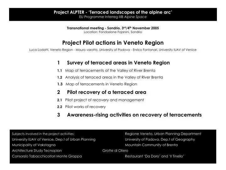
Project ALPTER - ‘Terraced landscapes of the alpine arc’ EU Programme Interreg IIIB Alpine Space. Transnational meeting - Sondrio, 3 rd /4 th November 2005 Location: Fondazione Fojanini, Sondrio Project Pilot actions in Veneto Region

E N D
Project ALPTER - ‘Terraced landscapes of the alpine arc’ EU Programme Interreg IIIB Alpine Space Transnational meeting - Sondrio, 3rd/4th November 2005 Location: Fondazione Fojanini, Sondrio Project Pilot actions in Veneto Region Luca Lodatti, Veneto Region - Mauro varotto, University of Padova - Enrico Fontanari, University IUAV of Venice 1 Survey of terraced areas in Veneto Region 1.1 Map of terracements of the Valley of River Brenta 1.2 Analysis of terraced areas in the Valley of River Brenta 1.3 Map of terracements in Veneto Region 2 Pilot recovery of a terraced area 2.1 Pilot project of recovery and management 2.2 Pilot works of recovery 3 Awareness-rising activities on recovery of terracements Subjects involved in the project activities: Regione Veneto, Urban Planning Department University IUAV of Venice, Dep.t of Urban Planning University of Padova, Dep.t of Geography Municipality of Vakstagna Mountain Community of Brenta Architecture Study Tecnoplan Grotte di Oliero Consorzio Tabacchicoltori Monte Grappa Restaurant ‘Da Doro’ and ‘Il Tinello’
Project ALPTER - ‘Terraced landscapes of the alpine arc’ EU Programme Interreg IIIB Alpine Space 1.1 Map of terracements of the Valley of River Brenta Work steps: ■ Acquisition of terracements identified by the Veneto Master Topomap (C.T.R.N.), scale 1:5000 ■ Comparison with aerial orto-photographs (scale 1:5000) to improve the information ■ Survey of terracements not reported on the Master Topomap, through: - specific aerial photos - survey on the ground - laser-scanner use - other sources ■ GIS analysis, with relationship between terracements, morphology and infrastructure: - length and density - slope and solar exposition - geologic substratum - accessibility ■ Map of terracements of the Valley of River Brenta
Project ALPTER - ‘Terraced landscapes of the alpine arc’ EU Programme Interreg IIIB Alpine Space 1.2 Analysis of terraced areas in the Valley of River Brenta Work steps: ■ Identification of homogenous terraced sub-areas in the Valley of River Brenta ■ Selection of terraced sub-areas for detailed analysis, based on morphological, typological and historical characters ■ Documentation of the terraced sub-areas: - photographs - aerial photographs - technical plans - historical maps - geologic data - other data ■ Draft of Data-sheets for terraced sub-areas ■ Other analysis: - Historical study - Perceptive analysis ■ Evaluation of natural risk and of opportunity of recovery for terraced sub-areas
Project ALPTER - ‘Terraced landscapes of the alpine arc’ EU Programme Interreg IIIB Alpine Space 2.1 Pilot project of recovery of a terraced area Preliminary steps: ■ Identification and contact of the estate ownership ■ Complete territorial analysis (pedologic, geologic, historic…) ■ Availability of transports (roads or other) and networks Recovery works: ■ Draft of a complete recovery project ■ Availability of funding sources (public and private) ■ Experimentation of recovery technologies (local techniques) Recovery management: ■ Choice and start of agricultural cultivations ■ Diffused ospitality
Project ALPTER - ‘Terraced landscapes of the alpine arc’ EU Programme Interreg IIIB Alpine Space 2.2 Pilot project of recovery - Technical plans Draft of recovery plans : ■ Complete architectural survey of agricultural terracements and of other structures (buildings, shelters) ■ Choice of use and technologies ■ Draft of technical plans
Project ALPTER - ‘Terraced landscapes of the alpine arc’ EU Programme Interreg IIIB Alpine Space Next steps: - Completions of the map of terracements - Start of detailed analysis of terraced sub-areas - Start of map of terracements in Veneto Region - Completion of the contacts with estate owners and start of draft of project of recovery