Download
1 / 15
150 likes | 277 Views
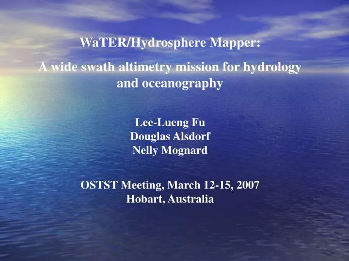
WaTER/Hydrosphere Mapper: A wide swath altimetry mission for hydrology and oceanography Lee-Lueng Fu Douglas Alsdorf Nelly Mognard OSTST Meeting, March 12-15, 2007 Hobart, Australia. Progress made since the Venice Meeting.

E N D
WaTER/Hydrosphere Mapper: A wide swath altimetry mission for hydrology and oceanography Lee-Lueng Fu Douglas Alsdorf Nelly Mognard OSTST Meeting, March 12-15, 2007 Hobart, Australia
Progress made since the Venice Meeting • At the Venice meeting a year ago, Hydrosphere Mapper and WaTER were separately presented as potential future missions using wide-swath altimetry technique. • Via a workshop held in last October, the oceanography and land hydrology communities discussed their respective requirements and found that a single mission was able to meet the needs of both communities (http://earthsciences.osu.edu/~alsdorf/files/WideSwath/) • A joint oceanography and hydrology session was held in last AGU, showing the wide range of science and application opportunities provided by a joint WaTER/Hydrosphere Mission. • Such a mission has been recommended as Surface Water and Ocean Topography (SWOT) mission by the NRC Decadal Survey for launch in the time frame of 2013-2016.
Small-scale Variability of the Ocean Unresolved by Nadir-looking Altimeter ground tracks of Jason (thick) and T/P (thin) Tandem Mission 10 km scale eddies Resolvable by WaTER/HM 100 km scale eddies resolvable by WSOA 100 km
Coastal currents have scales less than 10 km 42.5º N h ~ 5 cm v ~ 50 cm/sec < 10 km < 10 km 41.9º N < 10 km Observations made by ADCP offshore from the US West Coast T. Strub, 2006
Sub-mesoscale variability Radius of deformation Radius of deformation Sub-mesoscale processes are poorly observed but important to the understanding of the dissipation mechanism of ocean circulation. Scott (2005) McWilliams (2006)
Altimetry SSH wavenumber spectrum Jason pass 132 (147 cycle average) Power density (cm2/cycles/km) Noise level of WaTER/HM for 2 cm measurement noise at 2 km resolution Wavenumber (cycles/km) Much reduced noise floor will enable the study of the spectrum at sub-mesoscales which have not been well resolved from existing data.
USGS Coverage: ~7000 gauges • Using a radar altimeter, 32% of the rivers and 72% of the world’s lakes are not sampled Topex/POSEIDON: ~70 points Gauging from Space ≠ WaTER/HM OSTP 2004: “Does the United States have enough water? We do not know.” “What should we do? Use modern science and technology to determine how much water is currently available …” Amazon: 6 M km2, ~175,000 m3/s U.S.: 7.9 M km2, Mississippi ~17,500 m3/s Birkett, C.M., L.A.K. Mertes, T. Dunne, M.H. Costa, and M.J. Jasinski,Journal of Geophysical Research, 107, 2003. Hirsch, R.M., and J.E. Costa, EOS Transactions AGU, 85, 197-203, 2004.
Problems with 1D Stream Gauge Measurements Amazonian wetlands are 750,000 km2 Alaskan braided river K. Douce Photo
Measurements Required to Address Science & Applications : h, h/x, h/t, and area, globally, on a ~weekly basis Muskingum R., Ohio Continuity Equation ¶ ¶ Q h q – = L ¶ ¶ x t A Typical Flow Law ( ) ¶ h 1/2 2/3 k R ¶ x Siberian Arctic Q = n R = Hydraulic radius ∆S = Sh/t Photos: B. Kiel, K. Frey
Targets are Global Congo River Basin: 3.7M km2 Matthews, E. and I. Fung, GBC, 1, 61-86, 1987. Floods Canada Ohio R. Peace-Athabasca Delta: 3200 km2 New Orleans Costa Rica Braided Rivers Reservoirs Worldwide N. Korea Coastal Zones Alaska
8 7 6 5 4 3 2 1 Number of Observation WaTER/Hydrosphere Mapper A SAR interferometry radar altimeter Near-global coverage with 16-day repeat orbit • Same technique as WSOA – radar interferometry • Use of SAR to enhance the along-track resolution • 0.5 cm measurement precision at 2 km resolution • 1 micro-radian precision in mean sea surface slope at 2 km resolution • No data gap near the coast
Tidal aliasing of sun-synchronous orbit • S1 and S2 aliased to zero frequency and hence contaminate mean circulation • K1 and P1 aliased to annual and K2 to semiannual periods annual semiannual Chambers et al, 2000
Internal tides from altimetry Wavenumber spectrum 100 km Besides the intrinsic science of internal tides, they introduce 1-5 cm/sec error in ocean current velocity at mesoscales. Ray & Mitchum (1997)
Two key issues for OSTST to consider • The choice of orbit: • Although a sun-synchronous orbit has significant cost and technical benefits, the tidal aliasing problem will significantly reduce the value of the mission to oceanographic applications. Do we need any further studies before putting this issue to bed? (to be discussed in the Tide Splinter) • The wet tropospheric correction in coastal oceans: • As the interferometry technique is able to provide SSH measurements next to the coast line, the land contamination of the microwave radiometer observations will limit their utility for high-resolution coastal applications.