Download
1 / 15
150 likes | 323 Views
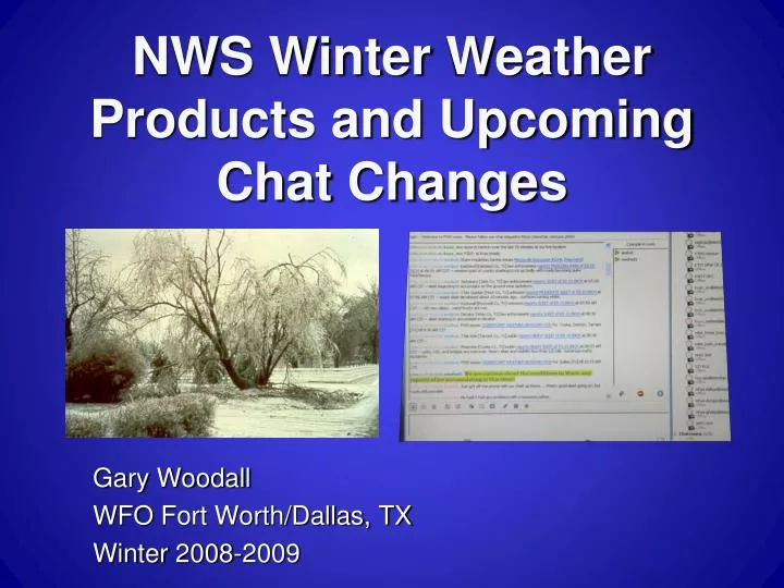
NWS Winter Weather Products and Upcoming Chat Changes. Gary Woodall WFO Fort Worth/Dallas, TX Winter 2008-2009. Winter Wx Products – Outlook. Outlooks – 3-7 day advance notice of winter event which has the potential to threaten life/property.

E N D
NWS Winter Weather Products and Upcoming Chat Changes Gary Woodall WFO Fort Worth/Dallas, TX Winter 2008-2009
Winter Wx Products – Outlook • Outlooks – 3-7 day advance notice of winter event which has the potential to threaten life/property. • Included in Hazardous Weather Outlook and Special WX Statement. • HWO - FLUS44 KFWD • SPS - WWUS84 KFWD • Updated information every 12 hours. • Continue outlook info until watch issued or threat diminishes.
Winter Wx Products - Watch • Watches– 50% or greater chance of event exceeding warning criteria in 2nd or 3rd forecast period (SPS Otherwise). • Occasionally (rarely) out to 4thperiod. • WSWFWD(WWUS44 KFWD) updated every 8-12 hours or if conditions change. • Issued as “Winter Storm Watch”. • Continued until warning issued, advisory issued, or threat diminishes.
Winter Wx Products - Warnings • Warnings – likelihood (80%) of event exceeding warning criteria in first 1-2 forecast periods. • Occasionally (rarely!) out to 3rdperiod. • WSWFWD(WWUS44 KFWD) updated every 6-8 hours. • Continued until event ends or threat diminishes (warning cancelled).
Warning Criteria • Heavy Snow – 4+” in 12h, 6+” in 24h. • Blizzard– 35+ mph wind, vsby < ¼ mi, for 3+ hours. • Ice storm – ¼ inch ZR accumulation. • Heavy sleet – ½ inch IP accumulation. • Combination of events with one meeting warning criteria. • We may factor impacts, response into borderline advisory/warning decisions
Winter Wx Products - Advisories • Advisories – likelihood (80%) of event in first 1-2 forecast periods. • Event will cause significant inconvenience or threat if precautions not followed. • WSWFWD(WWUS44 KFWD) updated every 6 - 8 hours. • Continued until event ends or threat diminishes.
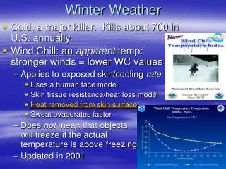
Advisory Criteria • Snow – 1-3” in 12 hours. • Blowing Snow – vsby < ¼ mile. • Freezing Rain – less than ¼ inch. • Sleet – less than ½ inch accumulation. • Freezing Drizzle – light accumulation. • Wind Chill – values at or below 0 F. • Combination of elements, none of which meets warning criteria.
Warning/Advisory Wording • Ice storm warning • Winter storm warning • Freezing rain advisory • Winter weather advisory • “...winter storm warning for <element>...” • “...winter weather advisory for <xxx>...” • Warning/advisory segments will discuss the element(s) in more detail.
Non-Precip Products - NPWFWD • High Wind Warning – sustained winds 40 mph or stronger, frequent gusts to 58+ mph, for 1 hour or longer. • Wind Advisory – sustained winds 25+ mph for 2 hours or longer (frequent gusts 35+?). • Dense Fog Advisory – widespread or localized fog reducing visibilities to 1/4 mile or less. • Freeze Warning – first freeze of season or sig freeze after a warm spell. • Frost Advisory – first frost of season, frost after growing season starts.
Segmented Format • Winter WX products continue with segmented format • Cancellations • Warnings • Advisories • Watches • Headline/overview at top of product. • Specific headlines, review of specific impacts in each segment. • Each segment will briefly “Tell the story”.
Product Suite • WSWs should discuss synoptic scale environment. • Short Term Fcsts– Every 1-3 hours, discusses meso/sub-synoptic features, precip rates. • SPSs to cancel outlooks. • SPS/sig WX advisory can be used to discuss sig precip areas (CG threat embedded in stratiformpcpn, bands of heavy snow, etc.).
Other Considerations • Primary thoughts in Area Forecast Discussion (FXUS64 KFWD), IEM/NWS Chat for collaboration. • Meet-me conference call if necessary. • Dynamic web headlines as event evolves. • Graphical images to depict warning/advisory areas, potential impacts. • You are welcome to use images/info!
IEM Chat to NWS Chat • NWS has hired Daryl Herzmann, incorporating IEM Chat. • Chat transition to NWS by mid January. • Advantage: Multiple redundant backup servers. • Advantage: 24/7 server support. • Disadvantage: Re-registration, will need to take short (10 minute) “training”. • Disadvantage: 12-character password, may need to update periodically.
IEM Chat to NWS Chat • Gaim/Pidgin will still work as chat software. • “Bot” for injecting our hazardous weather products will be in NWS Chat. • Broadcast messages through IEM system outlining changes. • Please let me know of any possible adverse impacts!
Summary • A suite of products is available to convey winter weather threats. • The winter weather product suite should be more streamlined in ’08-09. • Changes are coming to the IEM/NWS Chat system. • We will use all available methods to collaborate during winter weather events. • Questions?