Download
1 / 23
330 likes | 732 Views
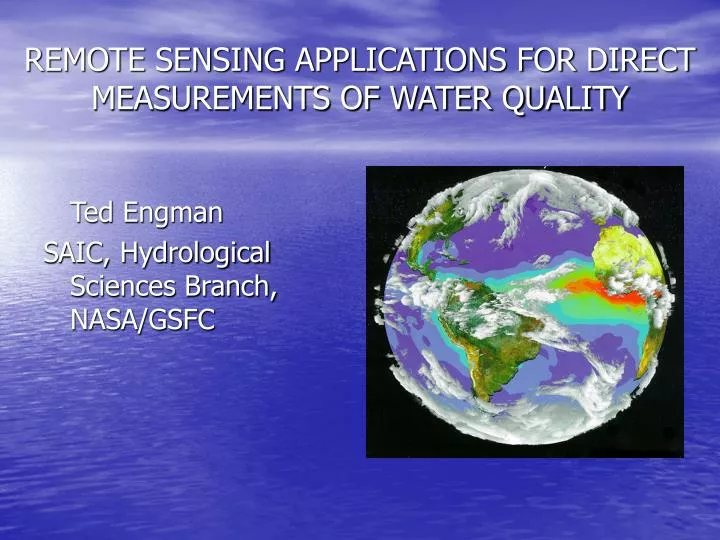
REMOTE SENSING APPLICATIONS FOR DIRECT MEASUREMENTS OF WATER QUALITY. Ted Engman SAIC, Hydrological Sciences Branch, NASA/GSFC. POTENTIAL REMOTE SENSING APPLICATIONS FOR WATER QUALITY. LAKES, RESERVOIRS AND PONDS NONPOINT SOURCE POLLUTION BEACHES AND RECEIVING WATERS.

E N D
REMOTE SENSING APPLICATIONS FOR DIRECT MEASUREMENTS OF WATER QUALITY Ted Engman SAIC, Hydrological Sciences Branch, NASA/GSFC
POTENTIAL REMOTE SENSING APPLICATIONS FOR WATER QUALITY LAKES, RESERVOIRS AND PONDS NONPOINT SOURCE POLLUTION BEACHES AND RECEIVING WATERS
Satellite Remote Sensing Can Measure a Number of Water Quality Constituents • Sediment concentration, TSS • Chlorophyll concentration • Surface temperature • Trophic index • Nutrients via surrogates (total P) • ??? Via surrogates
Lakes, Reservoirs and Ponds • Cannot measure WQ directly • Infer WQ with empirical models • Models based on changes in reflectance caused by material in the water
Quantifying Measurements of Sediment Concentrations • Develop empirical relationship between sediment concentration and reflectance TSS = 78.56 – 554.23*MSS4 + 149.22*MSS5 + 1355.02*MSS6 - 187.38*MSS7 • (r2 = 0.95)
Quantifying Chlorophyll Concentrations • Similar empirical approach • Log C = a – b(TM2/TM3)
Percent of countries where significant trends in chlorophyll concentrations could be identified in at least some proportion of their coastal waters. Percent of all grid cells covered by our global near-coastal-zone buffer (10-100 km off shore) where trends in chlorophyll concentrations between 1998 and 2007 were either absent, positive, or negative
Advantages to the Remote Sensing Approach • Can sample all Lakes, Reservoirs & Ponds • Initial Classification – Lakes that Are OK and Those That Need a Closer Look • Transferability of Empirical Relationships • Seasonal Effects • “See” Entire Lake, Spatial Patterns – Optimize Sample Strategy in Time and Space • Frequent, inexpensive monitoring • Historical analysis
Disadvantages to the Remote Sensing Approach • Cannot Measure directly • Limited to What We Can Quantify • Point Precision Lacking • Clouds – but really not an issue
Non Point Source Pollution is a Land Cover/Land Use IssueMapping and Monitoring Land Cover/Land Use • Traditional Tradeoffs • Spatial Resolution • Temporal Resolution • Spectral Resolution • Cost
Spatial and Spectral Trades Each Image has features that the others do not have Choice depends upon application
Beaches and Receiving Waters • Enhance monitoring programs • Extent, transport direction and source of contamination • Improve modeling of waste field movement, mixing zone model calibration and validation
Location, Shape and Extent of Plume • Compliance with NPDES permit • Outfall locations • Calibrating and validating near-field and far-field models
Issues, No Longer Calibration Geometric correction Calculating reflectance Atmospheric corrections Computer systems Display of products / results Cost of data
Water Quality Algorithm Development Workshop, June 2009 GEO Water Quality Working Group Workshop Objective Develop an action plan to advance algorithm development and implementation in providing synoptic management-relevant water quality information of inland and coastal waters using global and/or regional algorithms.