Download
1 / 2
20 likes | 78 Views
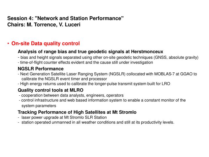
Session 4: "Network and Station Performance" Chairs: M. Torrence, V. Luceri On-site Data quality control Analysis of range bias and true geodetic signals at Herstmonceux - bias and height signals separated using other on-site geodetic techniques (GNSS, absolute gravity)

E N D
Session 4: "Network and Station Performance" • Chairs: M. Torrence, V. Luceri • On-site Data quality control • Analysis of range bias and true geodetic signals at Herstmonceux • - bias and height signals separated using other on-site geodetic techniques (GNSS, absolute gravity) • - time-of-flight counter effects evident and the cause still under investigation • NGSLR Performance • - Next Generation Satellite Laser Ranging System (NGSLR) collocated with MOBLAS-7 at GGAO to calibrate the NGSLR event timer and processor • - High energy returns used to calibrate the longer-pulse transmit system built for LRO • Quality control tools at MLRO • - cooperation between data analysts, engineers, operators • - control infrastructure and web based information system to enable a constant monitor of the system parameters • Tracking Performance of High Satellites at Mt Stromlo • laser power upgrade at Mt Stromlo SLR Station • station operated unmanned in all weather conditions and still at its productivity levels.
Data quality control at Analysis Centers • Multi-Satellite Daily Bias at HIT-U • routine quality control system for the ILRS global network provided by the Hitotsubashi University and numerical tables are available via web, ftp and email. • Stations directly contacted when a bias is evident and encouraged to reply. • LAGEOS data analysis at Changchun • Data analysis at the Changchun site: a bridge between theoretical research and observational work • LAGEOS 1/2 RB and TB evaluation • Network and models • Sub-centimeter SLR precision with SLRF2005/LPOD2005 • Analysis of Jason1, Lageos1/2, and TOPEX SLR data • Individual SLR station performance and systematic signals evaluated • Several stations updated in SLRF2005 to obtain LPOD2005 • TRF datum and ILRS network geometry • - SLR network geometry considered as a candidate to explain the discontinuity in the SLR scale • Further investigation will be done using data simulation • TerraSAR-X/TanDEM-X scenario • In September 2009 TanDEM-X launched to fly with TerraSAR-X in a very close formation • Difficulties in the tracking shown • Improved Modeling in the SLR analysis standards • Model update under discussion • In the near future, a proposal will be done by ILRS to IERS for modification of the analysis standards related to the products contributing to the establishment of the future ITRFxx.