Download
1 / 16
160 likes | 290 Views
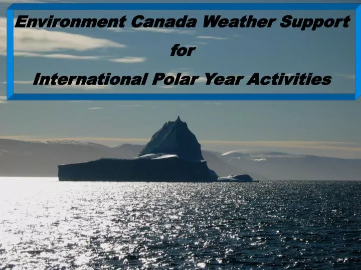
Environment Canada Weather Support for International Polar Year Activities. Basic weather support to activities in the north comes from our core aviation, public and marine forecast programs. for IPY there were extras . for IPY.

E N D
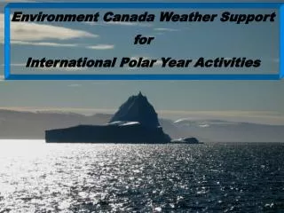
Environment Canada Weather Support for International Polar Year Activities Ed Hudson, April 2008
Basic weather support to activities in the north comes from our core aviation, public and marine forecast programs for IPY there were extras Ed Hudson, April 2008
for IPY Product-wise focused on providing: - custom satellite imagery - custom weather element visualizations Area-wise focused on: - Arctic Basin - southern Baffin Island - Amundsen Gulf Delivery-wise used “ftp”: - piggy-backed on Canadian Ice Service IPY web site - some products sent directly to university sites Ed Hudson, April 2008
CMC created model visualization domain to cover “NORTH_POLE_IPY” area. for IPY NORTH_POLE_IPY from GEM-Global only ARCTIC_WEST from GEM Regional and GEM Global ARCTIC_EAST from GEM Regional and GEM Global Ed Hudson, April 2008
Custom HRPT mappings were created from Edmonton and/or Resolute systems and are made available to IPY projects in real-time for IPY ARTA To the pole Nares From April 2004, “Nares” imagery sent in real time to Institute of Ocean Sciences for Dr Humfrey Melling et al. 2007, imagery also going to Dr Kent Moore, University of Toronto and thereby colleagues in Denmark. Southern Baffin Amundsen Mapping re-activated June 2007 and given lat/long lines in support of research icebreaker Amundsen / the Circumpolar Flaw Lead System Study Ed Hudson, April 2008
for IPY Wind Visualizations and Animations are posted to ftp site • Visualizations • Amundsen • Baffin • Beaufort • Hudson Bay • Kane • North Pole • Animations • Arctic Islands • Beaufort • Davis Strait • Keewatin • Mackenzie • North Pole Ed Hudson, April 2008
for IPY Blizzard potential introduced spring 2008 Product developed by Dr William Burrows Ed Hudson, April 2008
for IPY Working on meaningful analysis and forecast products Ed Hudson, April 2008
for IPY • Worded marine forecast extended through winter to support Canadian research icebreaker Amundsen / Circumpolar Flaw Lead Project • MSC meteorologists onsite STAR project southern Baffin Island for period November 2007 during the field data gathering stage to evaluate the utility of analysis and forecast products available to field parties and subsequently refine those analysis and forecast products found wanting • MSC Arctic Lab meteorologist onsite Polar Continental Shelf Project Resolute for period April 2008 to share his knowledge on interpreting and using weather and ice products with those staying or passing through the facility on their way to do science, to the pilots who fly the scientists to sites in the arctic, and to the Polar Continental Shelf Project Base Manager Ed Hudson, April 2008 Alert Photo courtesy Lorita Project
for IPY Monitoring Infrastructure • New HRPT (High Resolution Picture Transmission) station acquired for Resolute. Installation expected late summer. Ed Hudson, April 2008
Worked with CIS IPY lead Trudy Wohllenben to have a weather ftp section on the CIS web “IPY” area. • Product-wise, focused on satellite imagery and wind visualizations for that arctic basin area That’s what the pilots who fly “up there” use the most • Took grocery list to Informatics, Ron Goodson, HAL meteorologist scientist, and Andrew Giles PASPC/HAL meteorologist. They produce(d) or tune(d) existing products and set up delivery of products to the ftp site. • Took another grocery list to CMC with the emphasis on having them create a north pole mapping and having a full suite of products for that mapping using existing model data. The feed for the mapping is GEM-global. • Kept / keep Polar Continental Shelf Project Resolute Base Managers up to date on products and where an how to access those products. • Made / make national and international science community aware of the products and how to get at them. Including those handling Rose Stancer’s trek to the North Pole last year. for IPY Ed Hudson, April 2008
for IPY Remapped Resolute HRPT imagery to show more of Eurasian side of pole . gained Resolute imagery mapping since 17 May 2007 Resolute imagery mapping prior to 17 May 2007 lost Ed Hudson, April 2008
Until 4 February 2008, Resolute HRPT imagery available “outside” onlyvia weatheroffice web site. On weatheroffice, there is just a single latest “large” image! This image may not cover area needed area / may be of poor quality for IPY Resolute HRPT imagery posted to ftp site effective 4 February 2008 Ed Hudson, April 2008
Mapped MrSid HRPT Edmonton imagery developed and posted to ftp site The imagery was created by Ron Goodson and made operational by Informatics for IPY Sample Ed Hudson, April 2008
STAR Oct-Nov2007 Feb2008 www.starnetwork.ca/ STAR given “IPY” attentionto compliment that provided by Hydrometeorology and Arctic Lab and Canadian Meteorological Centre • HRPT STAR imagery created and posted in real-time to ftp site at University of Manitoba • From my office in Edmonton, often in the company of Ron Goodson, and once Lewis Poulin, using “Live Meeting”, a screen full of visualizations, satellite imagery and analyses and a conference call, briefed / hooked STAR science on vizaweb and self briefing • Informatics Calgary set up surface and upper air archive • Provided supplementary / complimentary archive suite of analyses, progs, observations, etc. • Participating in evaluation of model data. for IPY starBaffin starBaffinIqaluit starBaffinClyde Ed Hudson, April 2008
for IPY Polar Science Center, University of Washington, provides daily buoy track mappings.http://iabp.apl.washington.edu/ Ed Hudson, April 2008