Download
1 / 17
170 likes | 278 Views
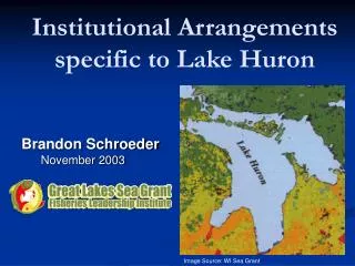
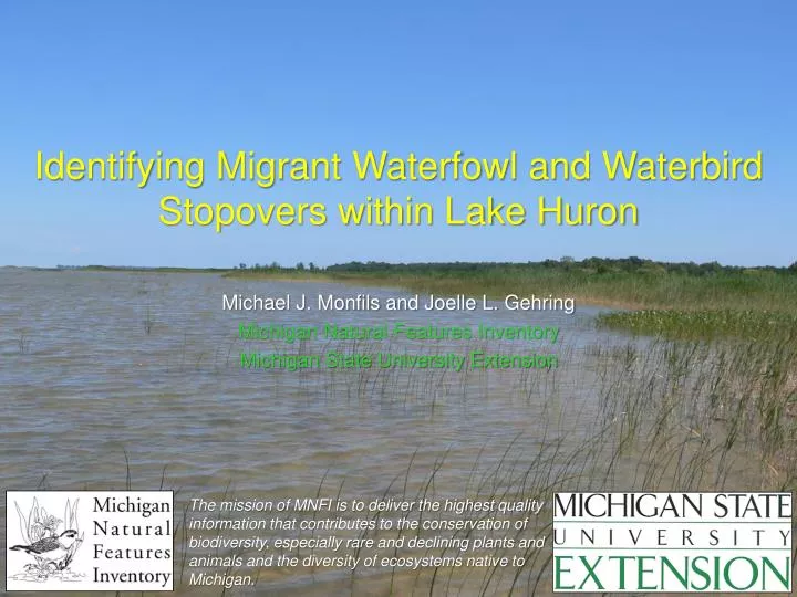
Identifying Migrant Waterfowl and Waterbird Stopovers within Lake Huron. Michael J. Monfils and Joelle L. Gehring Michigan Natural Features Inventory Michigan State University Extension.

E N D
Identifying Migrant Waterfowl and Waterbird Stopovers within Lake Huron Michael J. Monfils and Joelle L. Gehring Michigan Natural Features Inventory Michigan State University Extension The mission of MNFI is to deliver the highest quality information that contributes to the conservation of biodiversity, especially rare and declining plants and animals and the diversity of ecosystems native to Michigan.
Project Background • Sites within the Great Lakes have been proposed for possible wind power development. • The Great Lakes are known to provide important stopovers for waterfowl and waterbirds. • Limited data available on migrant bird use of Great Lakes, especially offshore areas. • Uninformed development could displace birds from important migration habitats.
Project Objectives • Identify waterfowl and waterbird concentration areas to assist conservation planning. • Facilitate additional investigations to better understand waterfowl use of offshore areas.
Current Project Areas Straits/ Eastern UP Saginaw Bay
Transect Placement • Placed parallel transects systematically across each study area using a random starting point. • Used 2 sets of transects to maximize geographic coverage and rotated surveys between sets. • Spaced transects 5 km apart within a given set. • Offset the 2 sets of transects by 2.5 km. • Broke transects into approximately 10 km sections.
Aerial Survey Methods Partenavia P68C
Aerial Survey Methods • Survey timing: • Between sunrise and early afternoon. • Fall: mid October – mid November. • Spring: early March – late April. • 4 surveys per season (2 surveys per transect set). • Elevation: 91 m (300 ft). • Flight speed: 130 – 200 km/hr.
Aerial Survey Methods • 2 observers (1 on each side of aircraft). • Record bird locations along transects using Columbus V-900 data logger. • Estimate perpendicular distance of each bird group from transect using distance categories: • Allow estimation of detection probabilities and densities. • Provide approximate locations of bird groups.
Aerial Survey Methods WATER SURFACE 91 m BAND B 100 m BAND D unlimited BAND C 200 m BAND A 100 m
Aerial Survey Methods • Record all waterfowl and waterbirds detected. • For each bird group we record: • Location (GPS coordinate and distance bin). • Species or lowest taxonomic group (e.g., diving duck, gull). • Estimated number in group.
Acknowledgements • Funding provided by the Michigan Coastal Management Program (MDEQ and NOAA). • Matt Warner (MDEQ). • Dave Luukkonen and Brendan Shirkey (MDNR). Saginaw Bay at sunrise. Photo by Rebecca Loiselle.


![Huron [Wyandot]](https://cdn2.slideserve.com/4649325/kiran-laniece-damon-dt.jpg)