Download
1 / 23
230 likes | 355 Views
On mixing and advection in the BBL and how they are affected by the model grid: Sensitivity studies with a generalized coordinate ocean model. Tal Ezer and George Mellor Princeton University The generalized coordinate model

E N D
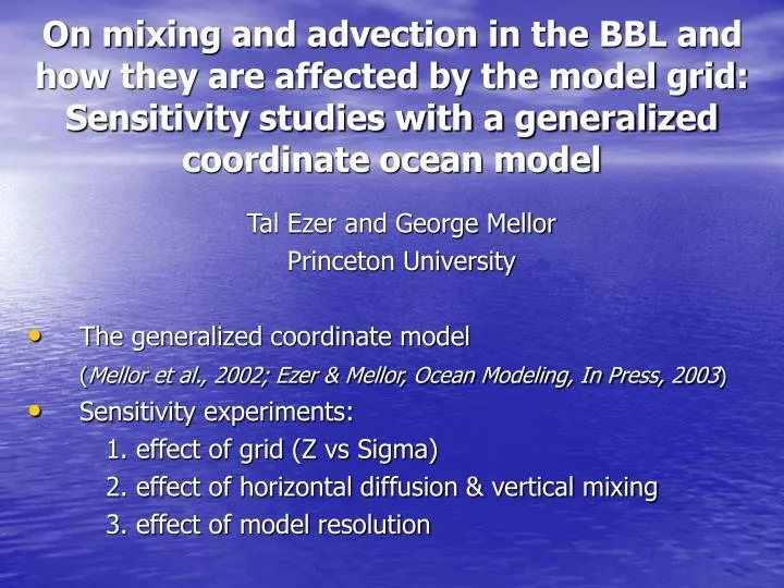
On mixing and advection in the BBL and how they are affected by the model grid: Sensitivity studies with a generalized coordinate ocean model Tal Ezer and George Mellor Princeton University The generalized coordinate model (Mellor et al., 2002; Ezer & Mellor, Ocean Modeling, In Press, 2003) Sensitivity experiments: 1. effect of grid (Z vs Sigma) 2. effect of horizontal diffusion & vertical mixing 3. effect of model resolution
The generalized coordinate system Z(x,y,t)=(x,y,t)+s(x,y,k,t) ; 1<k<kb, 0<<-1 Special cases Z-level: s=(k)[Hmax+ (x,y,t)] Sigma coord.: s=(k)[H(x,y)+ (x,y,t)] S-coordinates (Song & Haidvogel, 1994): s=(1-b) func[sinh(a,)]+b func[tanh(a,)] a, b= stretching parameters Other adaptable grids Semi-isopycnal?: s=func[(x,y,z,t)]
Effect of model vertical grid on large-scale, climate simulations Experiments: • Start with T=T(z) • Apply heating in low latitudes and cooling in high latitudes • Integrate model for 100 years using different grids (all use M-Y mixing)
The problem of BBLs & deep water formation in z-level models is well known (Gerdes, 1993; Winton et al., 1998; Gnanadesikan, 1999) I-1 I I+1 • Some Solutions: • Embedded BBL • (Beckman & Doscher, 1997; • Killworth & Edwards, 1999; • Song & Chao, 2000) • “Shaved” or partial cells • (Pacanowski & Gnanadesikan, 1998; • Adcroft et al., 1997) K-1 K K+1 T T U W T
Dynamics of Overflow Mixing & Entrainment (DOME) project Bottom Topography Initial Temperature(top view) (side view) embayment slope deep
Simulation of bottom plume with a sigma coordinate ocean model (10km grid)
The effect of horizontal diffusivity on the Sigma coordinate model(tracer concentration in bottom layer)
DIF=10 DIF=100 DIF=1000 10 days 20 days
The effect of grid type- Sigma vs. Z-level coordinates
ZLV-10 days SIG-10 days ZLV-20 days SIG-20 days
Increasing hor. diffusion causes thinner BBL in sigma grid but thicker BBL in z-level grid! SIG DIF=10 SIG DIF=1000 ZLV DIF=10 ZLV DIF=1000
The BBL: More stably stratified & thinner in SIG Larger downslope vel. in SIG, but much larger (M-Y) mixing coeff. in ZLV
The difference in mixing mechanism:SIG is dominated by downslope advection, the ZLV by vertical mixing
The effect of grid resolution or Is there a convergence of the z-lev. model to the sigma model solution when grid is refined? The Problem: to resolve the slope the z-lev. grid requires higher resolution for both, horizontal and vertical grid. New high-res. z-grid experiment: quadruple hor. res., double ver. res.
10 km grid 2.5 km grid
Increasing resolution in the z-lev. grid resulted in thinner BBL and larger downslope extension of the plume. ZLV: 10 km, 50 levels ZLV: 2.5 km, 90 levels
The thickness of the BBL and the extension of the plume are comparable to much coarse res. sigma grid. SIG: 10 km, 10 levels ZLV: 2.5 km, 90 levels
How do model results compare with observations? Density section along the plume Thickness across the plume From: Girton & Sanford, Descent and modification of the overflow plume in the Denmark Strait, JPO, 2003
Comments: • Terrain-following grids are ideal for BBL and dense overflow problems. (Isopicnal models are also useful for overflow problems, but may have difficulties in coastal, well mixed regions) • Hybrid or generalized coordinate models may be useful for intercomparison studies, or for optimizing large range of scales or processes in a single code. • However, how to best construct such models and how to optimizing such grids for various applications are open questions that need further research.